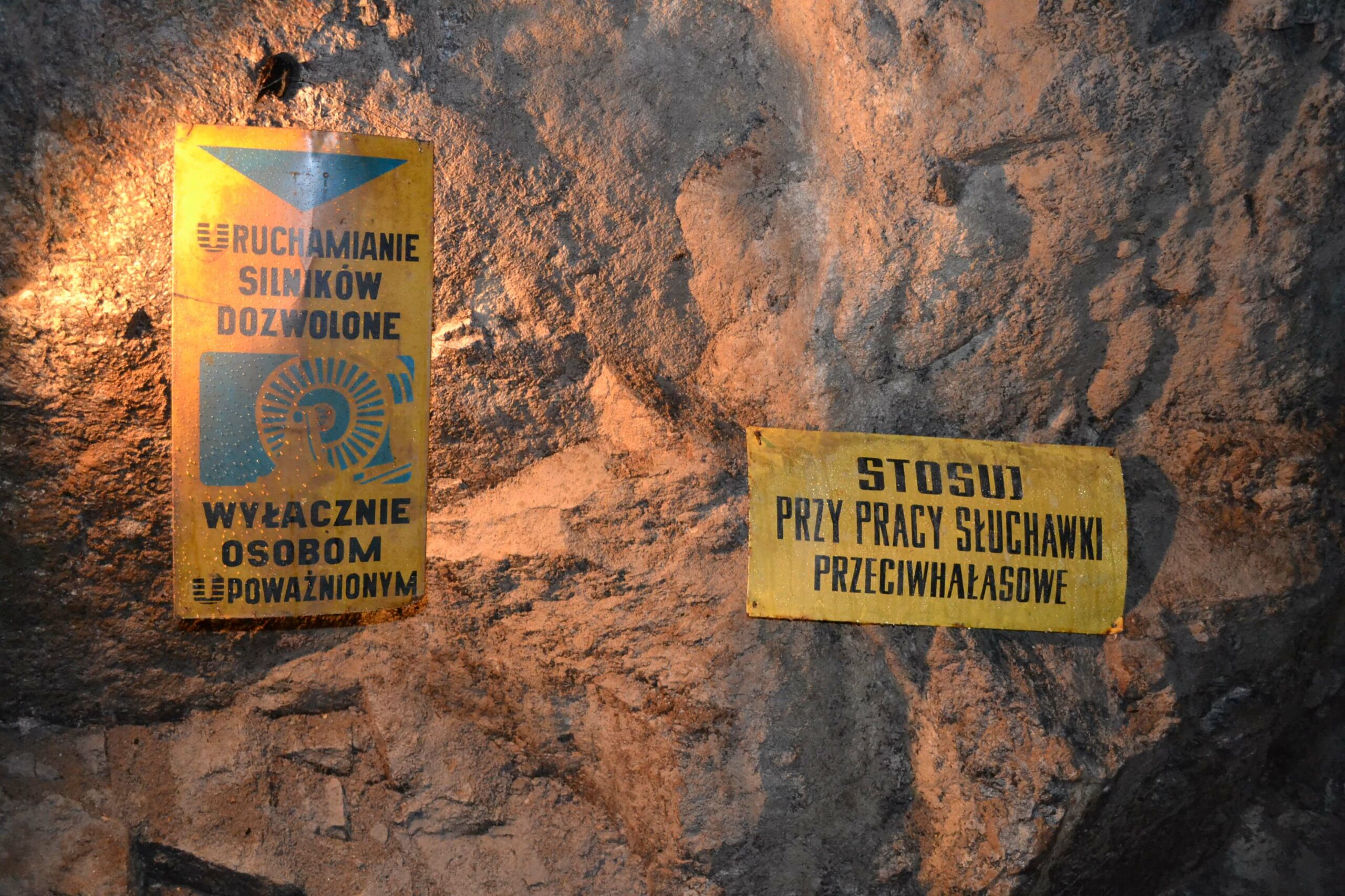
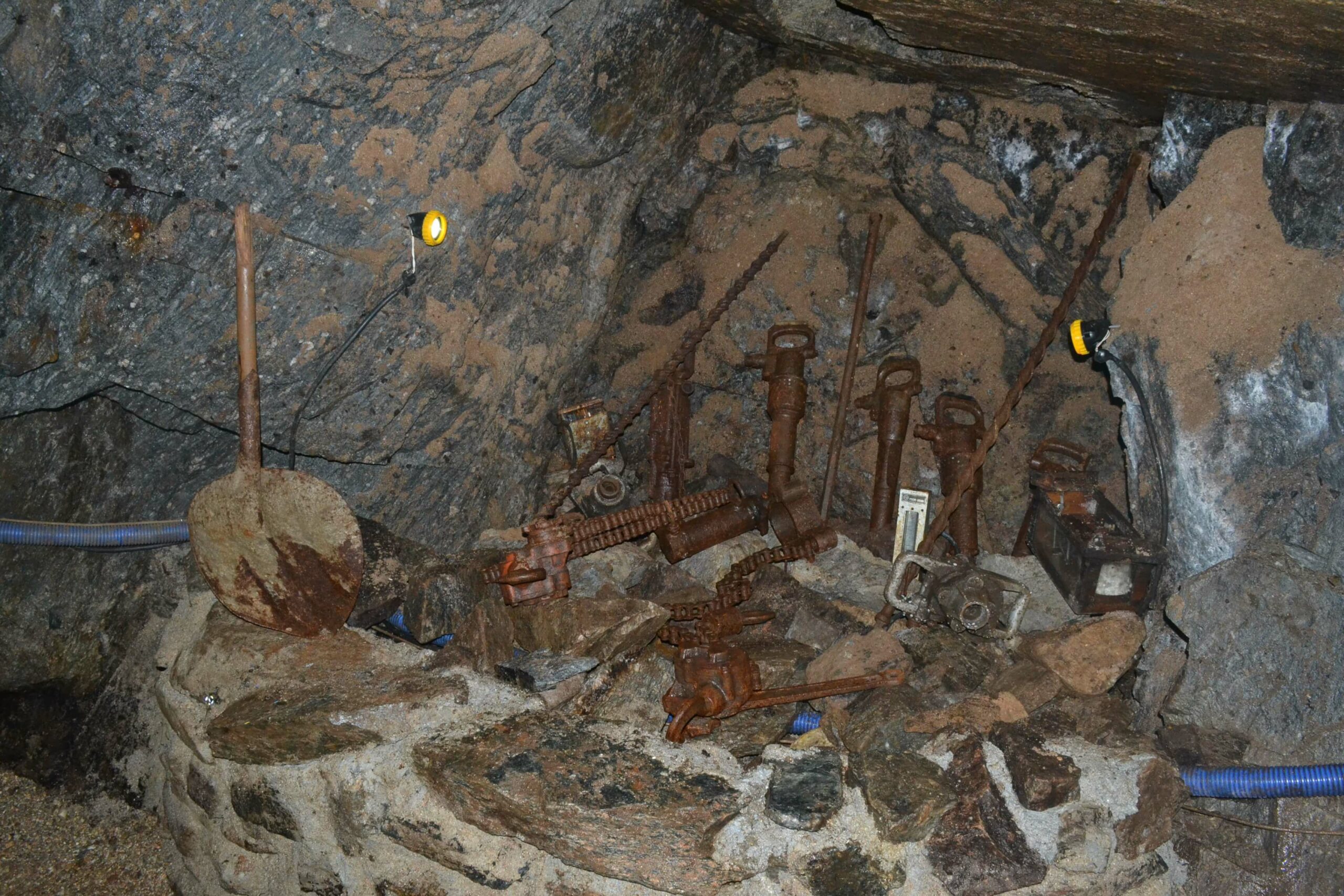
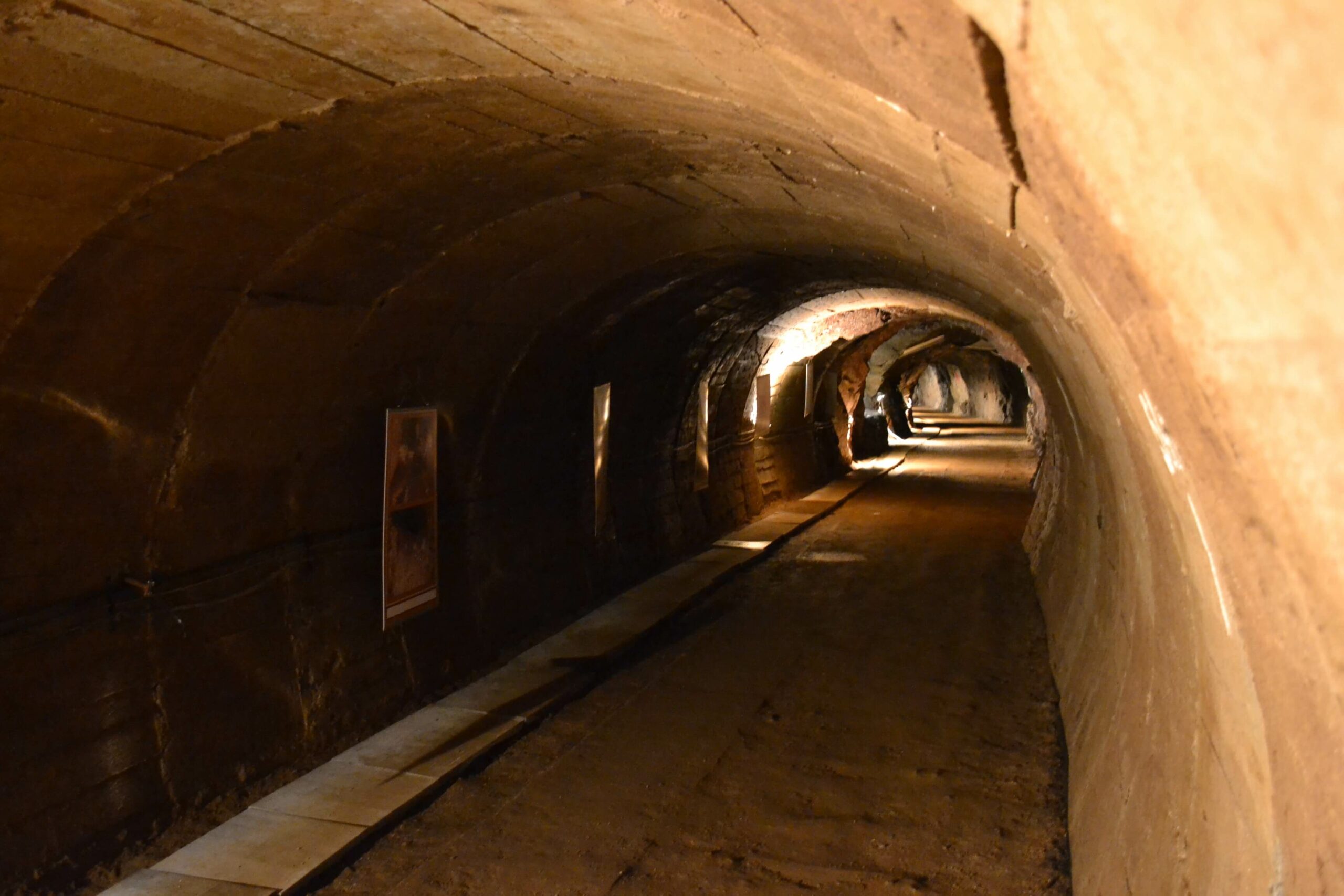
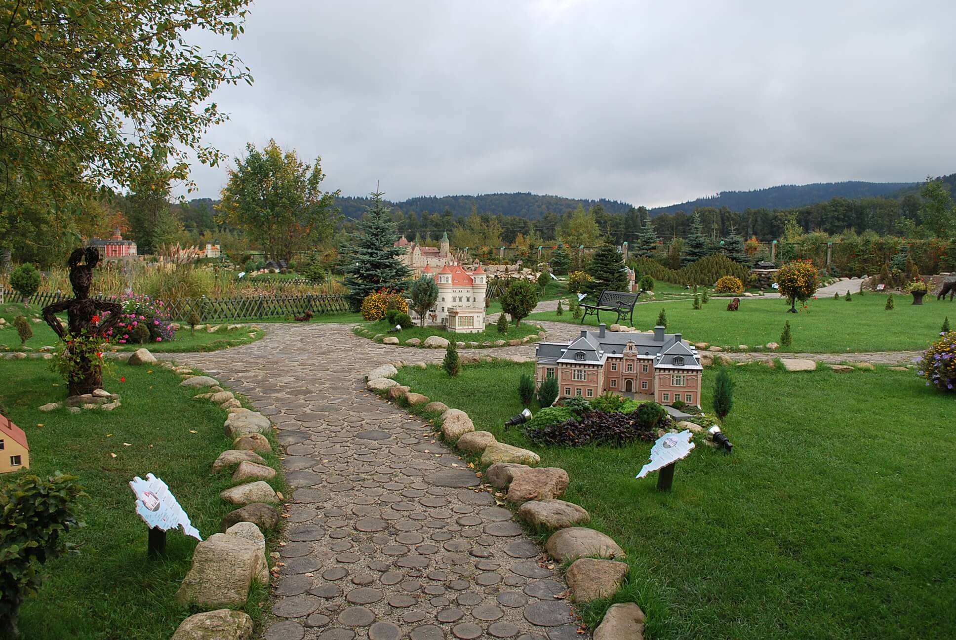
Kowary, blue. DOT182
Route details
Short characteristics
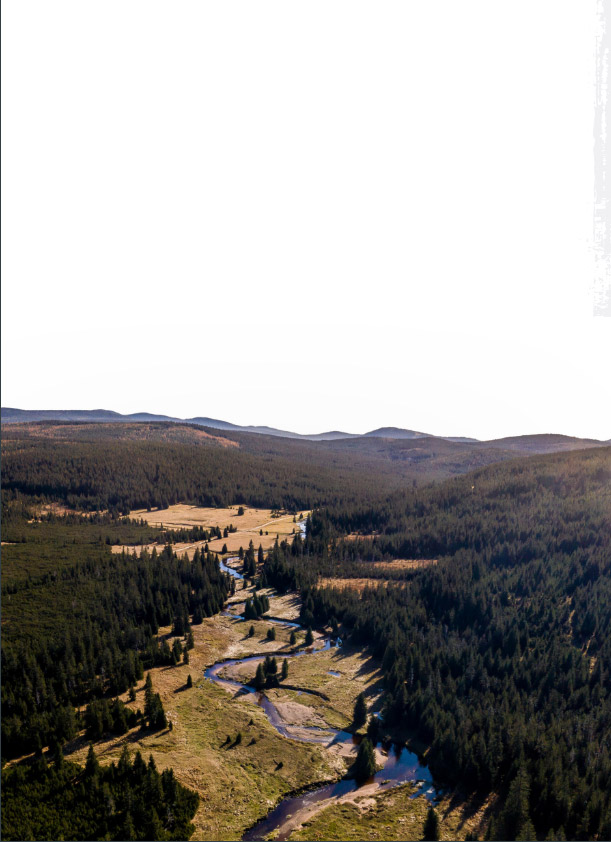
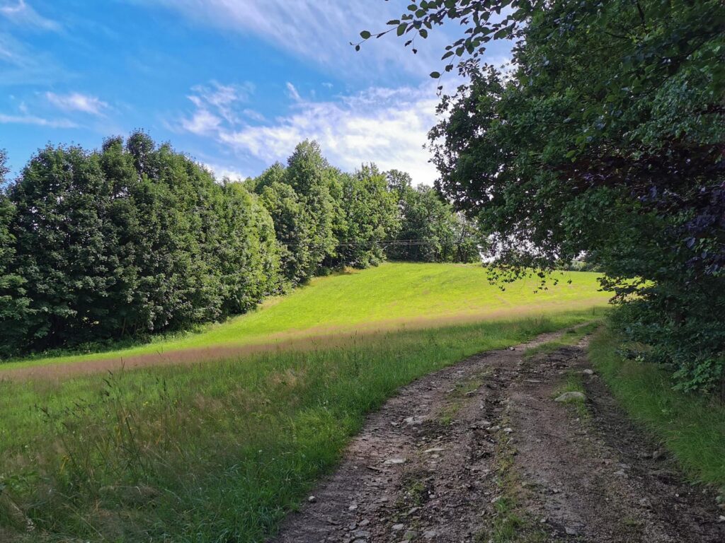
It is a solid and quite scenic MTB loop, a bit more difficult than it would appear from the
distance (36 km) and elevation gain (1070 m). It leads mainly on gravel forest roads of the
Karkonosze and the Rudawy Janowickie Mountains. I start from the intersection of Zrodlana
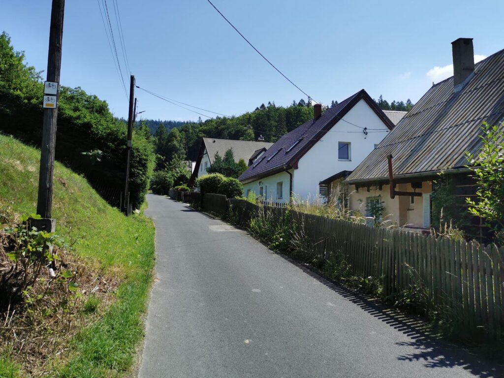
and Kamiennogorska streets in Kowary and go clockwise.
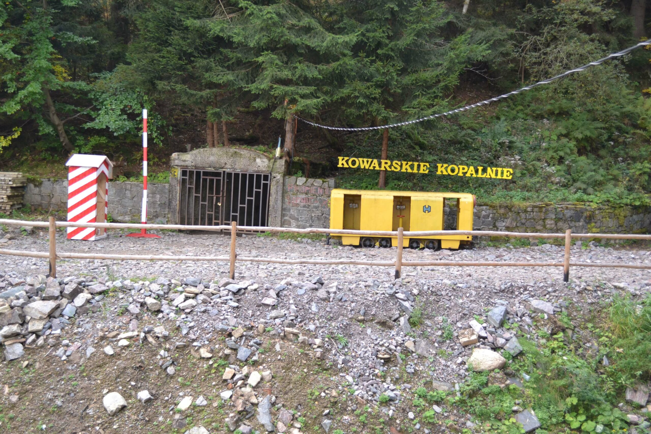
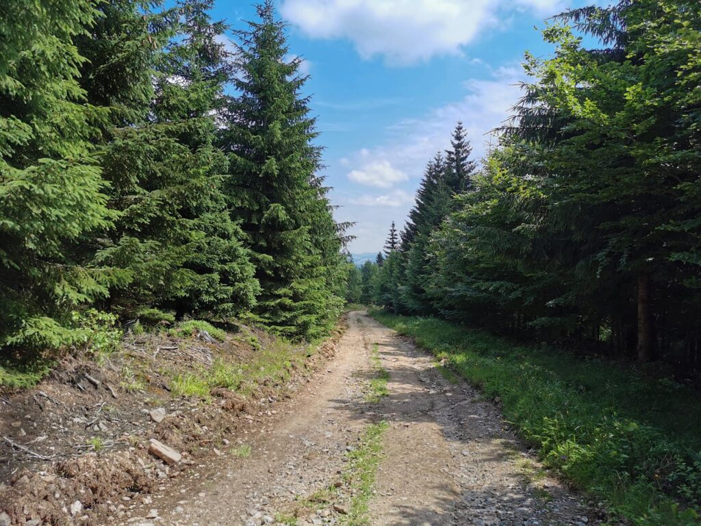
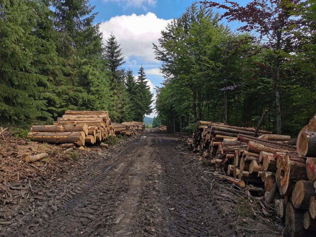
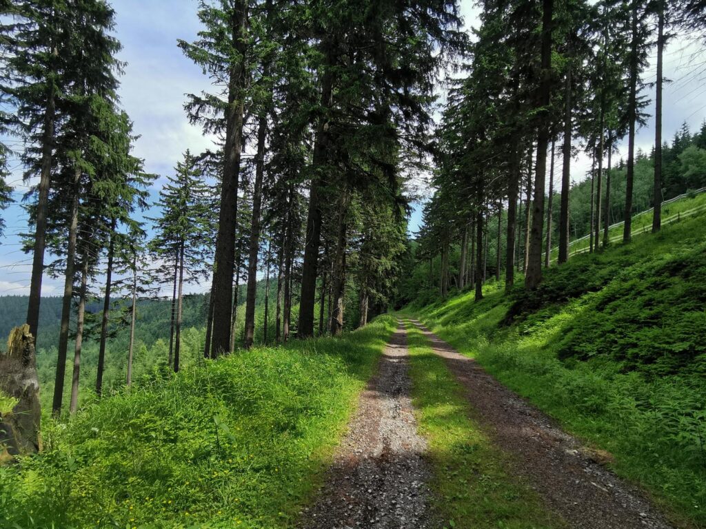
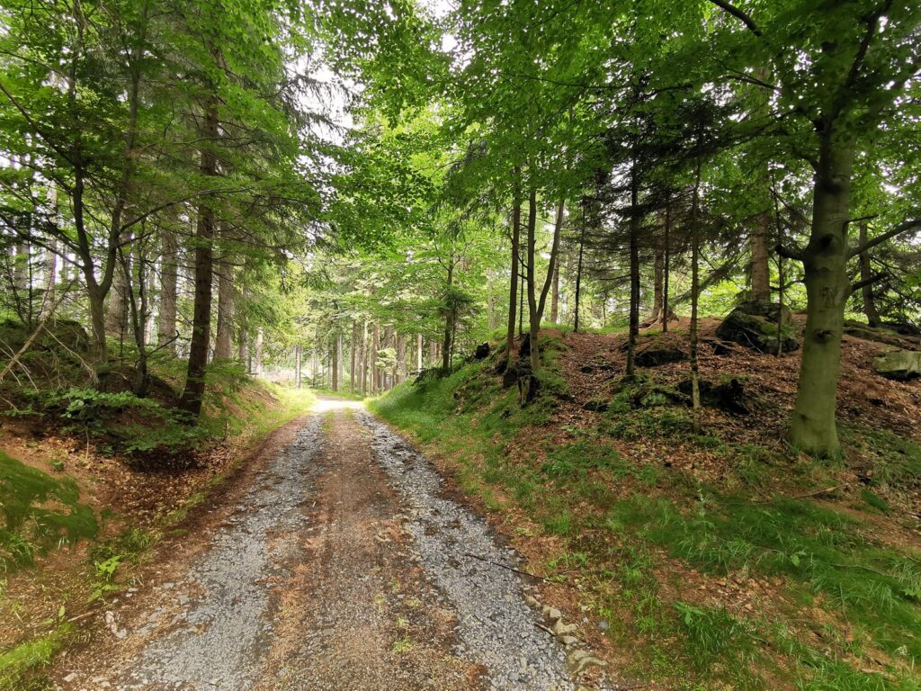
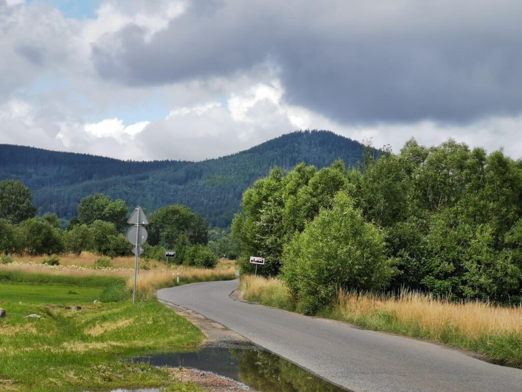
1. Kowary – Czarnow (0.0 – 7.0 km)
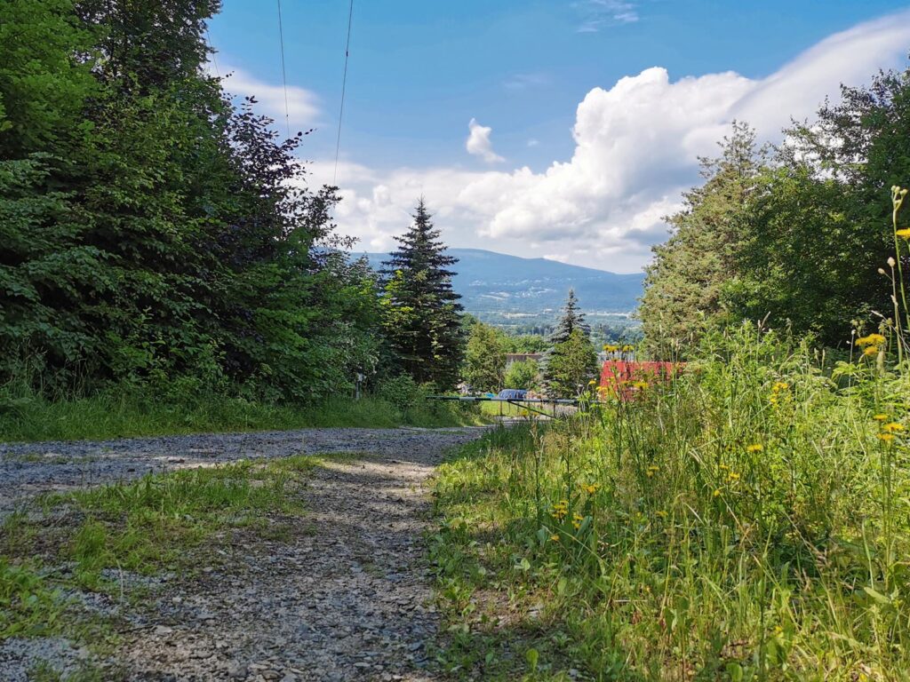
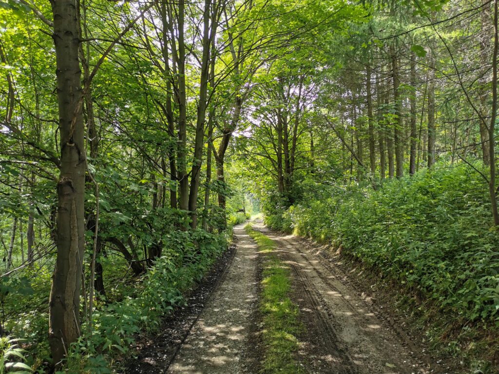
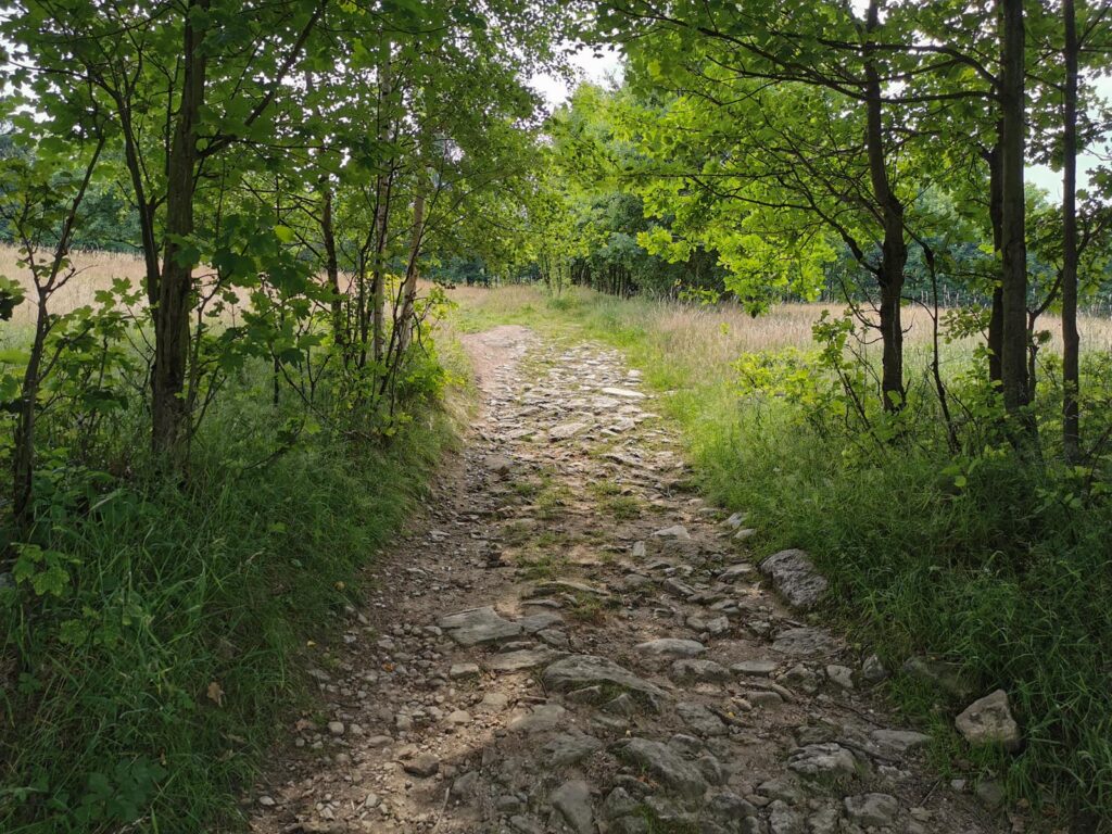
It is a demanding uphill section, after the Rudawy Janowickie Mountains. There is 350 meters
of elevation gain to do with the steepness of 15% and sometimes quite loose surface and in
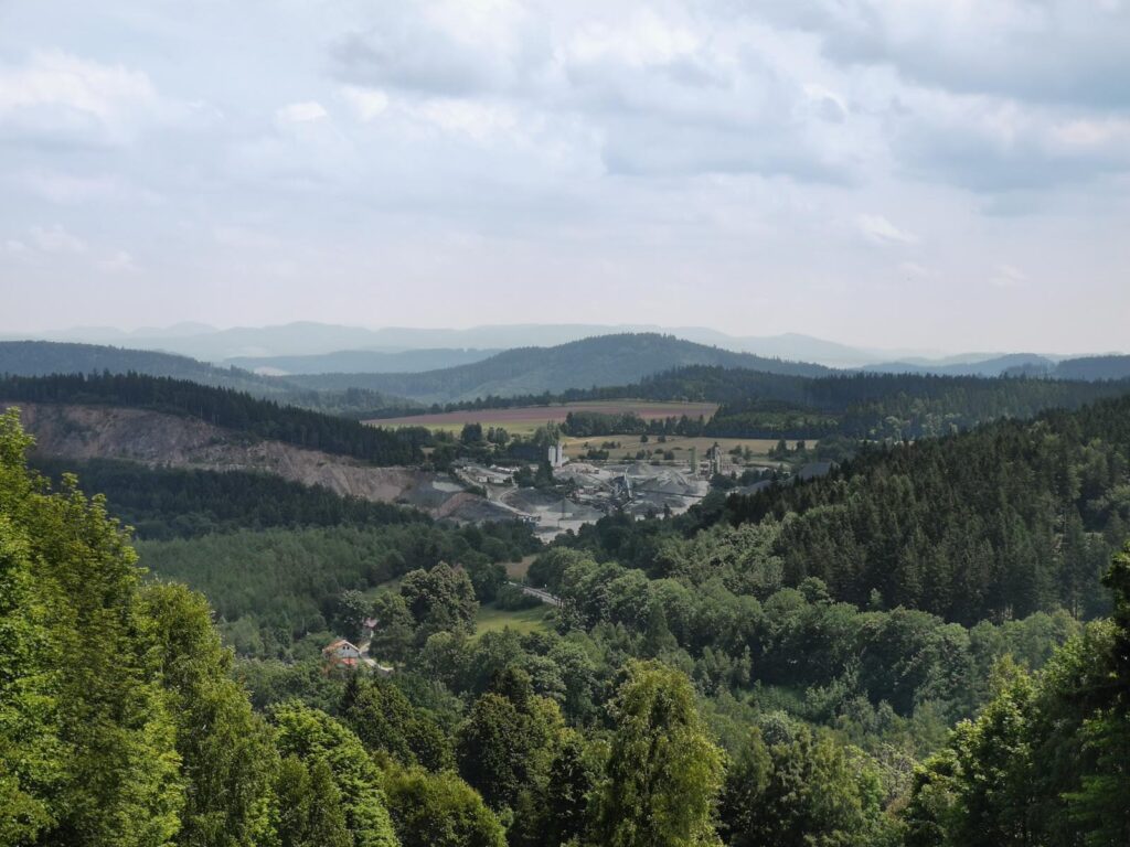
autumn heaps of leaves. As a bonus, there are beautiful views in the vicinity of the Parkowa
Mountain and on the Old Route. Just before Czarnowo you must turn south-west.
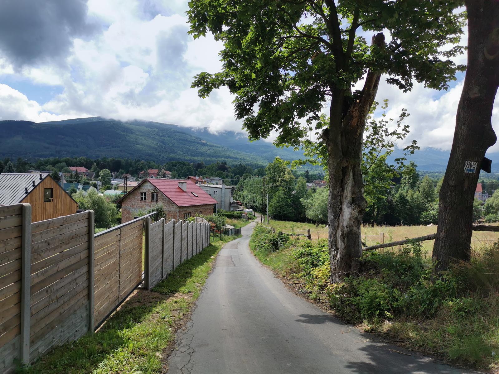
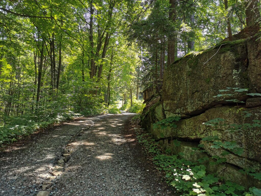
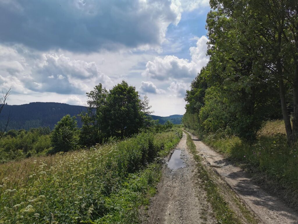
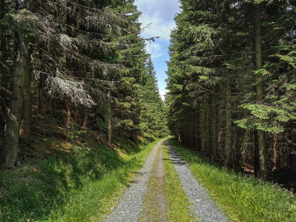
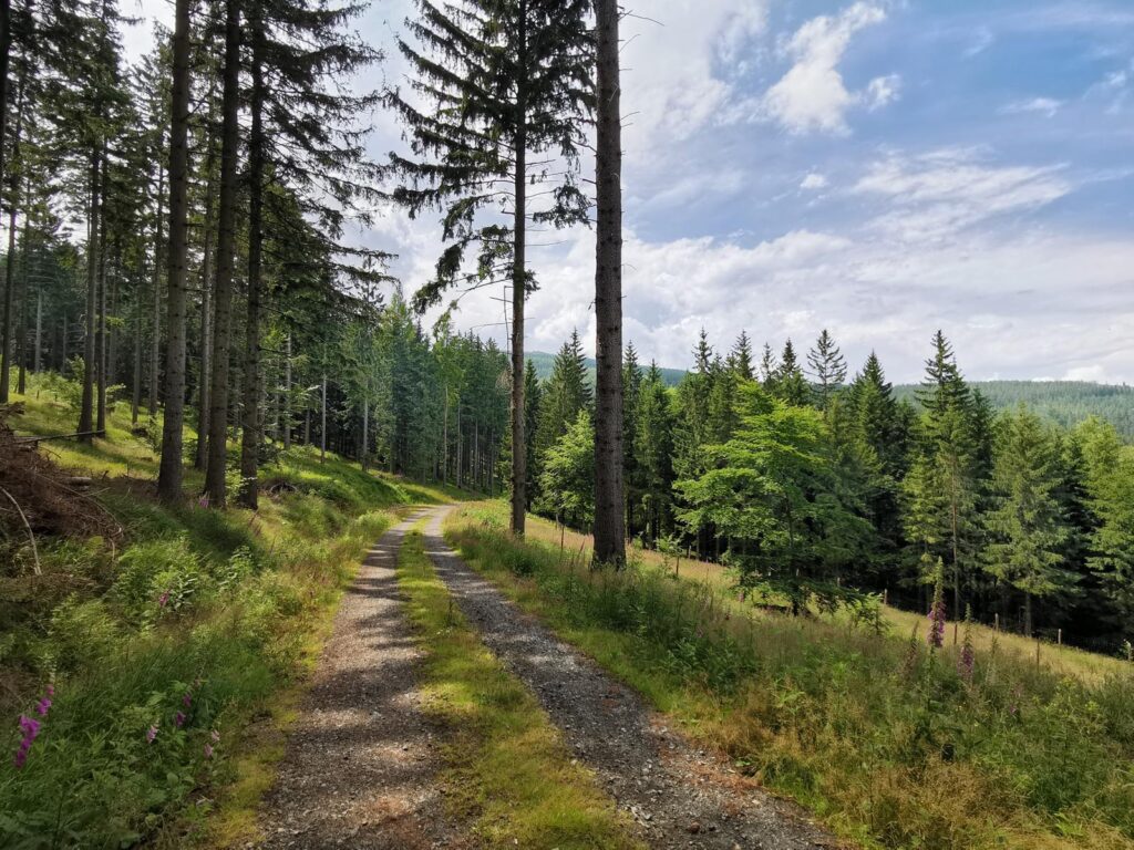
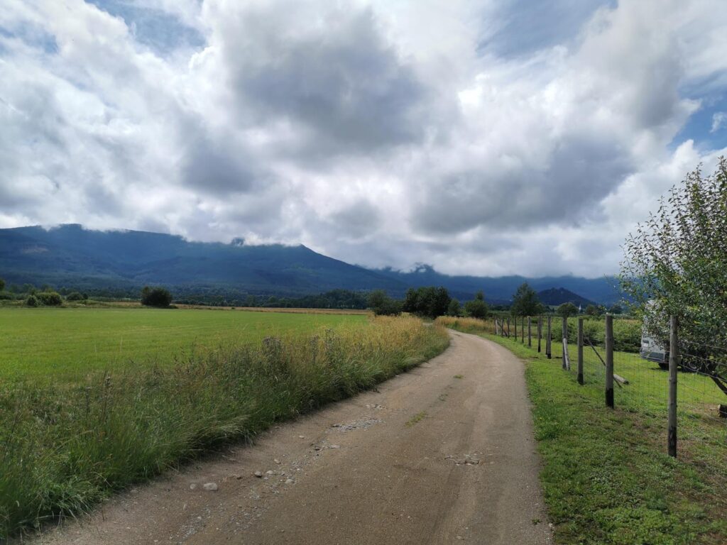
2. Czarnow – Crossroad under the Sulica Mountain (7.0 – 17.9 km)
At the beginning, it is a longish descent on the forest roads of the main ridge of the Rudawy
Janowickie Mountains, to the Kowary Pass. You reach the lowest point in Kowary Podgorze.
However, then the second challenging the Karkonosze Mountains style climb (about 330 m of
elevation gain) begins. The steepness is also >15% and gravel ground. At the top, a stretch of
asphalt and you turn right.
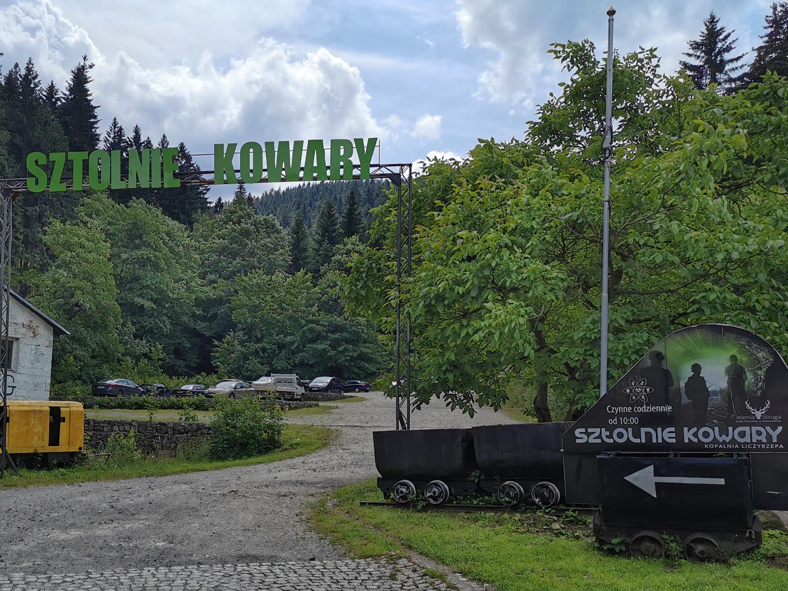
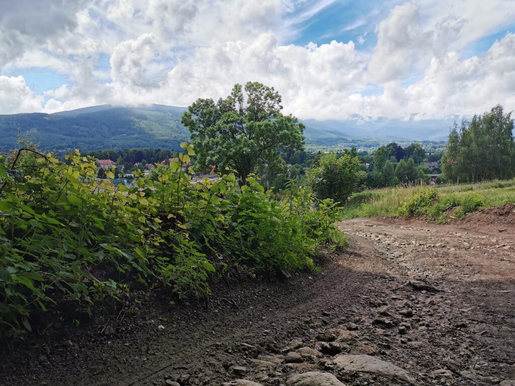
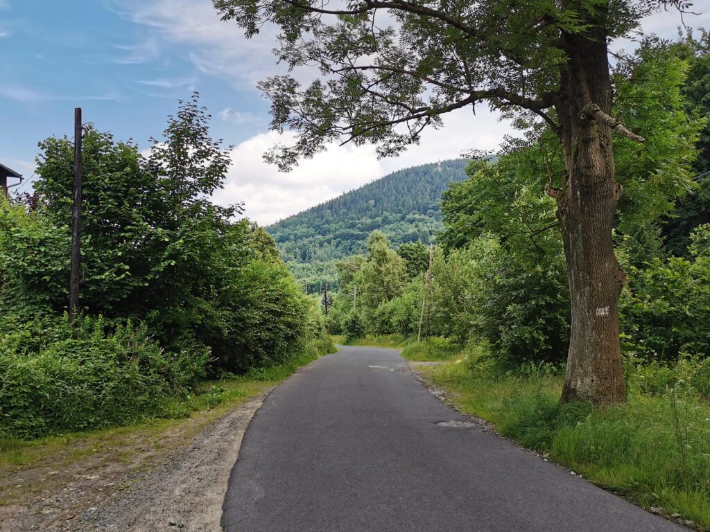
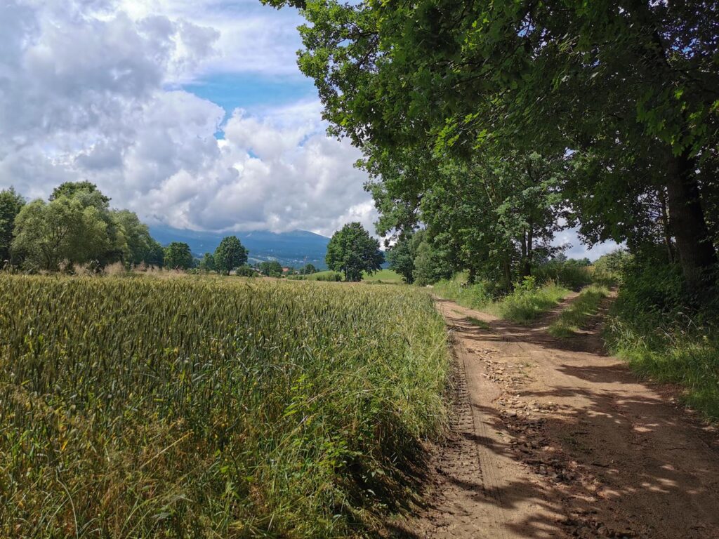
3. Crossroads near Sulica – Karpacz (17.9 km – 29.3 km)
This is a long and fast forest descent with only a few scenic clearings. The finish paths are
less visible and you end up on the outskirts of Karpacz, which, after turning north, you
bypass.
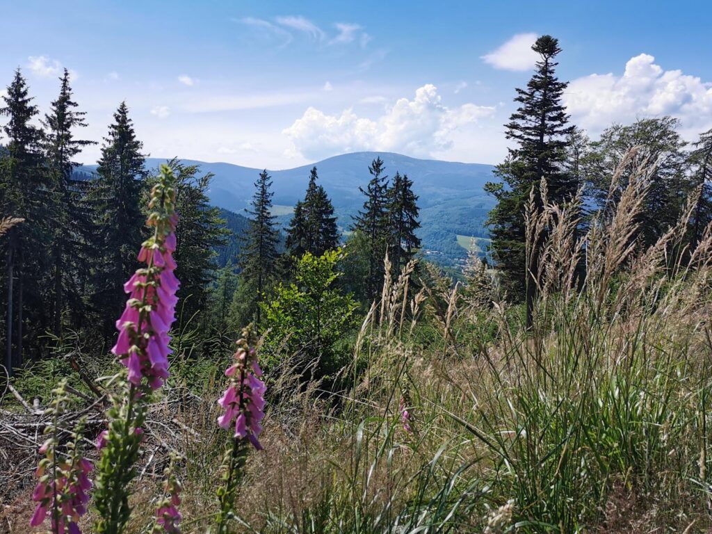
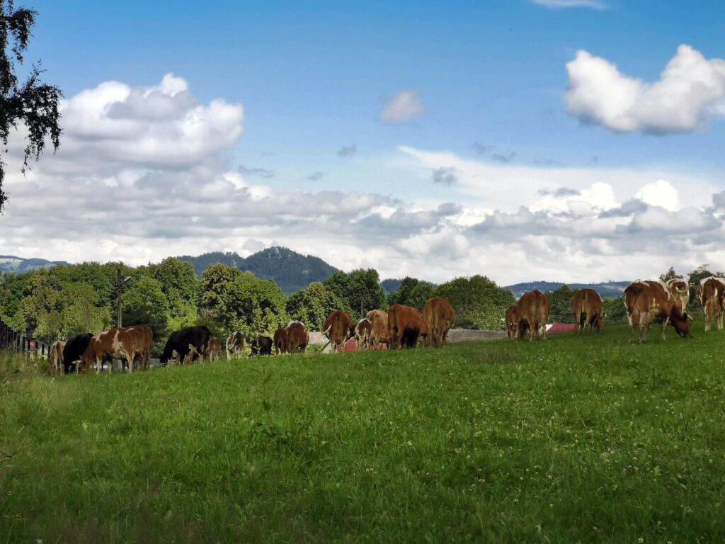
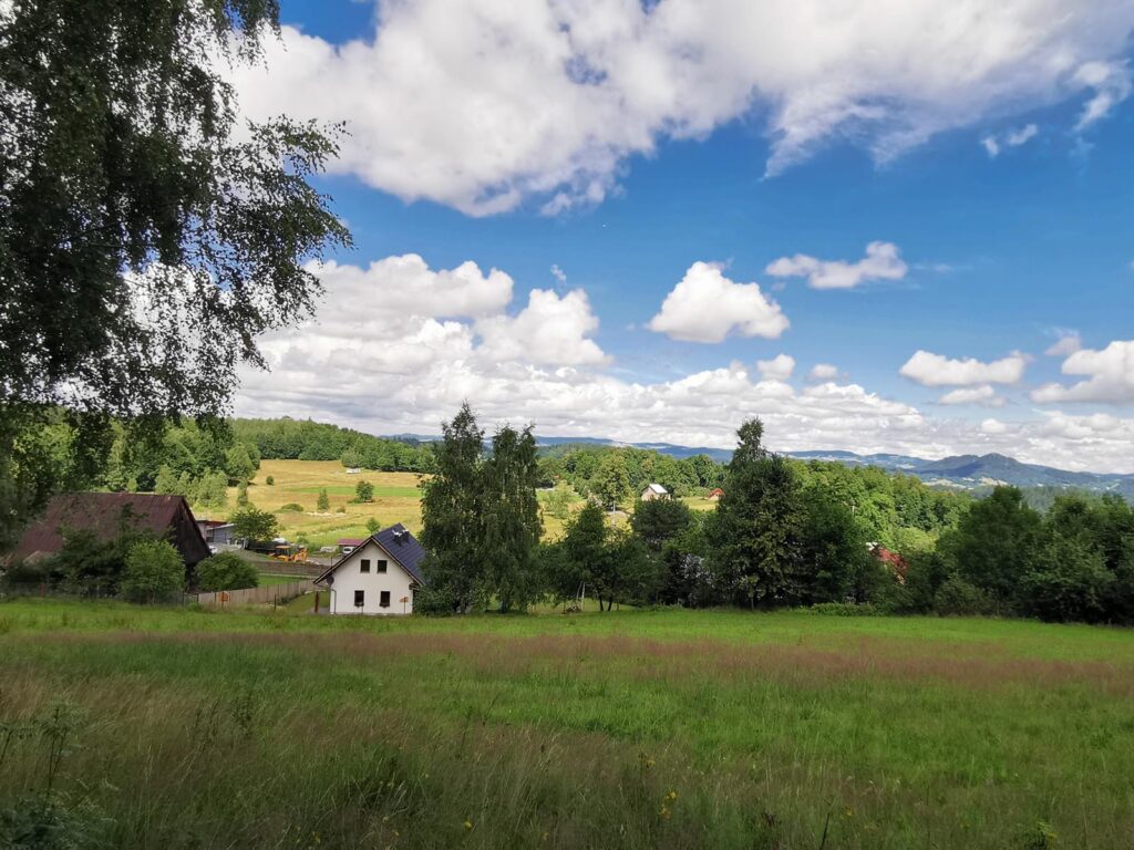
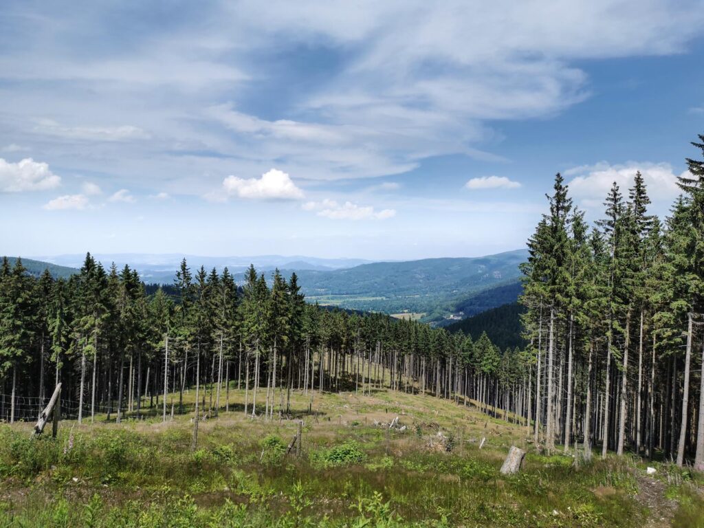
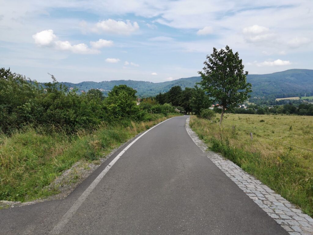
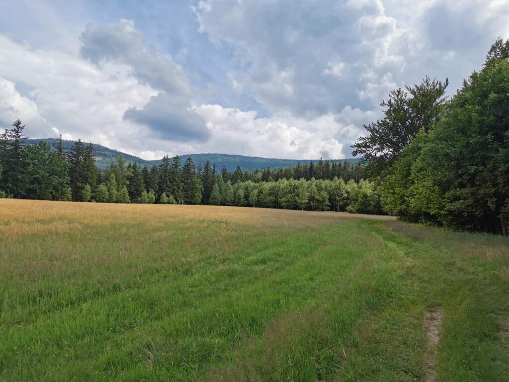
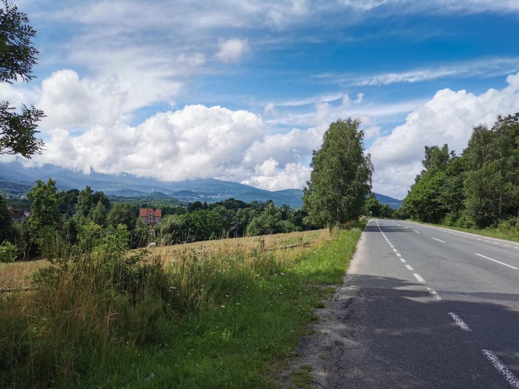
4. Karpacz – Kowary (29.3 km – 36.2 km)
It is a field closure of the loop with beautiful views over the Karkonosze Mountains and an
effective visual reward.

 0/5
0/5
