Lubin LTR4. DOT28
Route details
Short characteristics
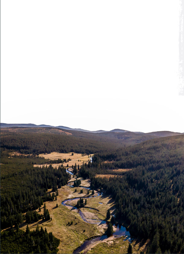
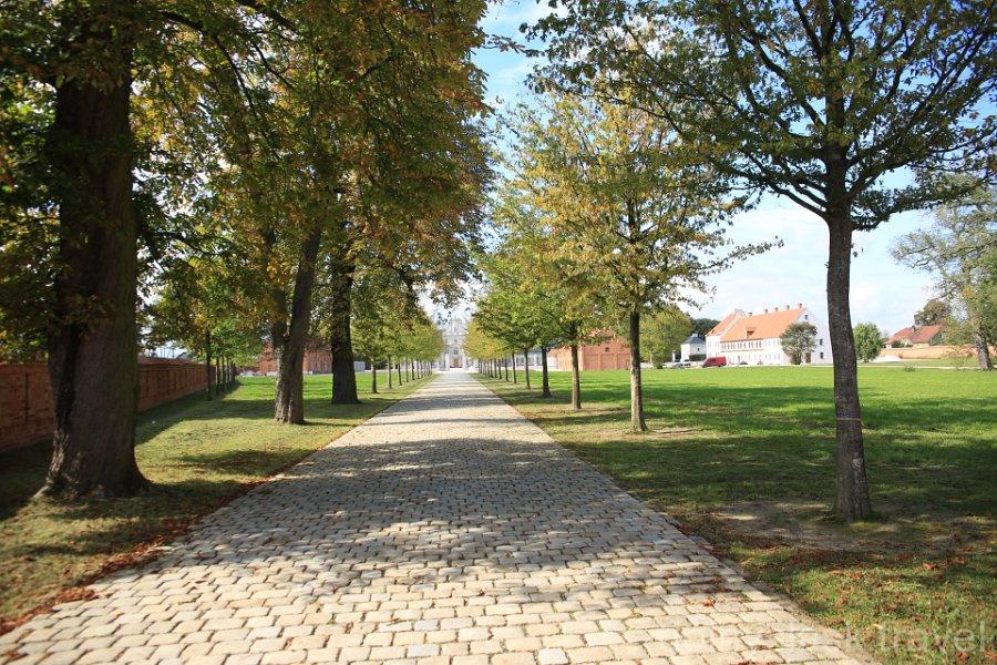
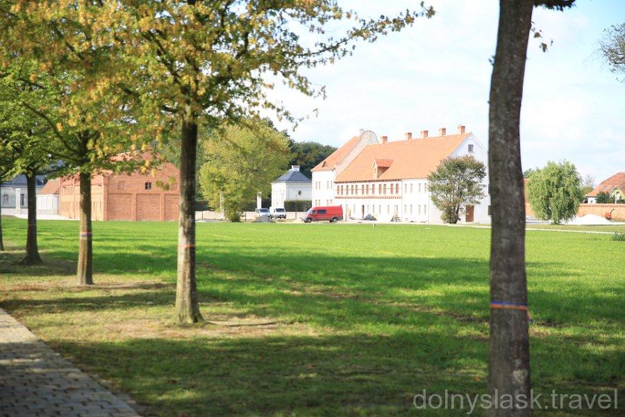
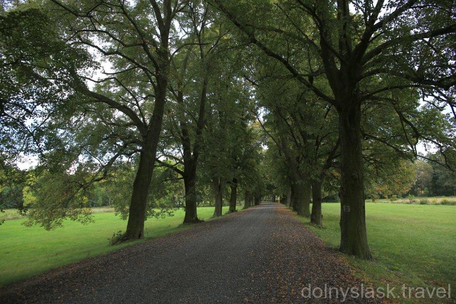
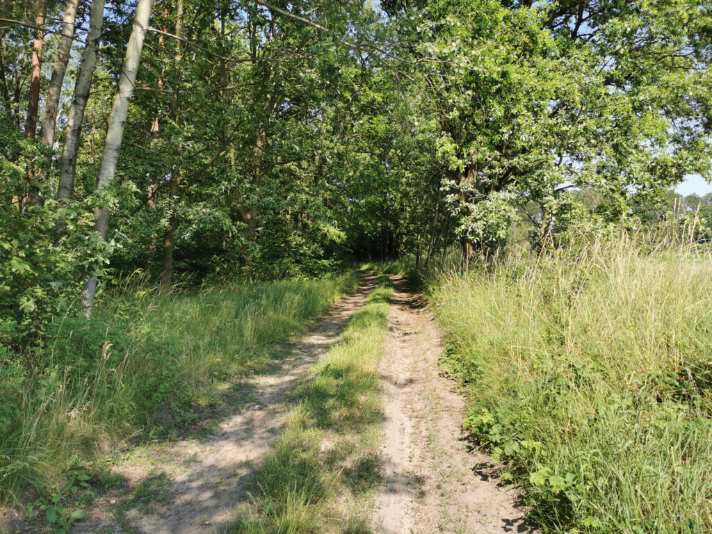
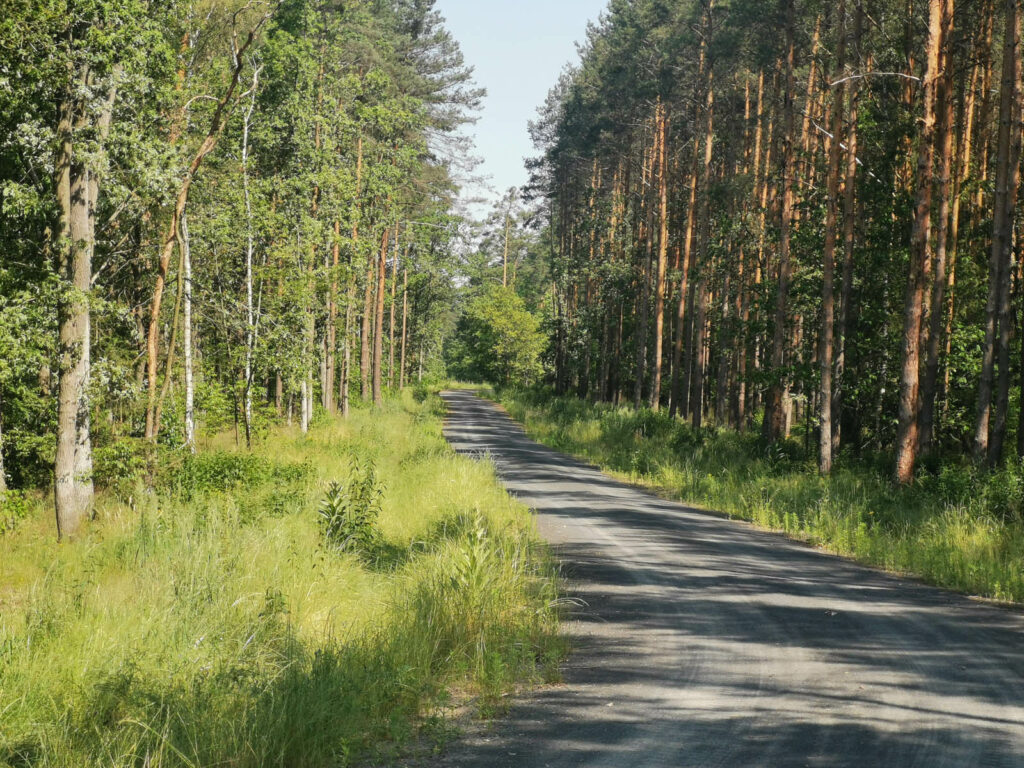
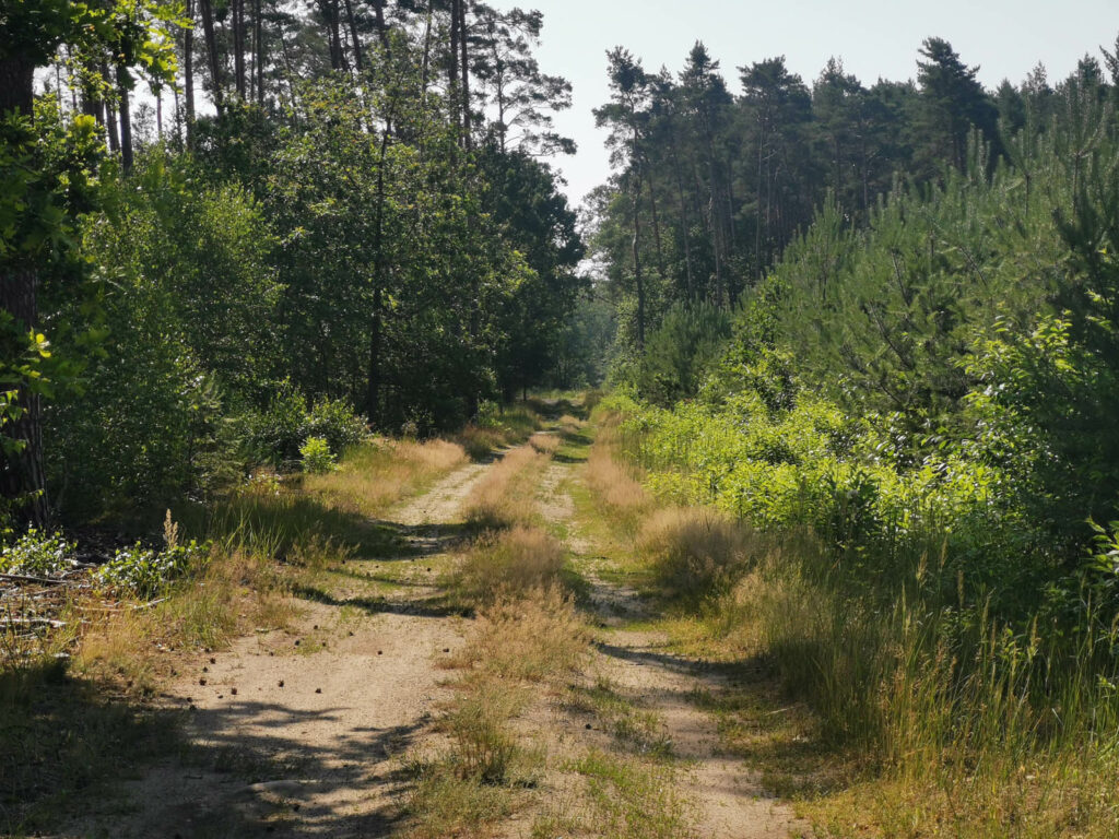
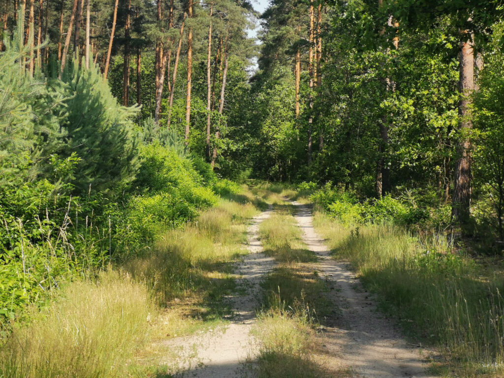
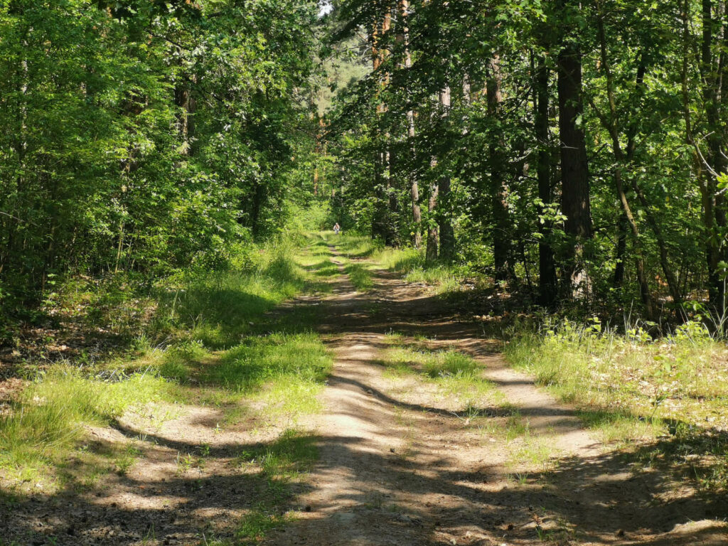
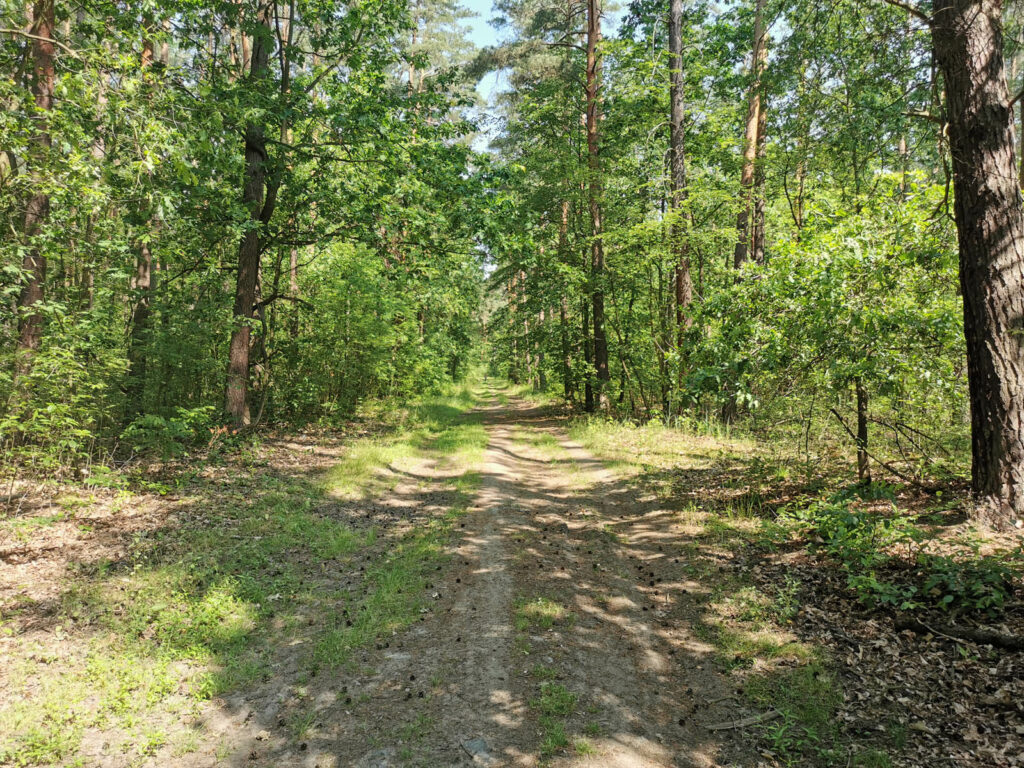
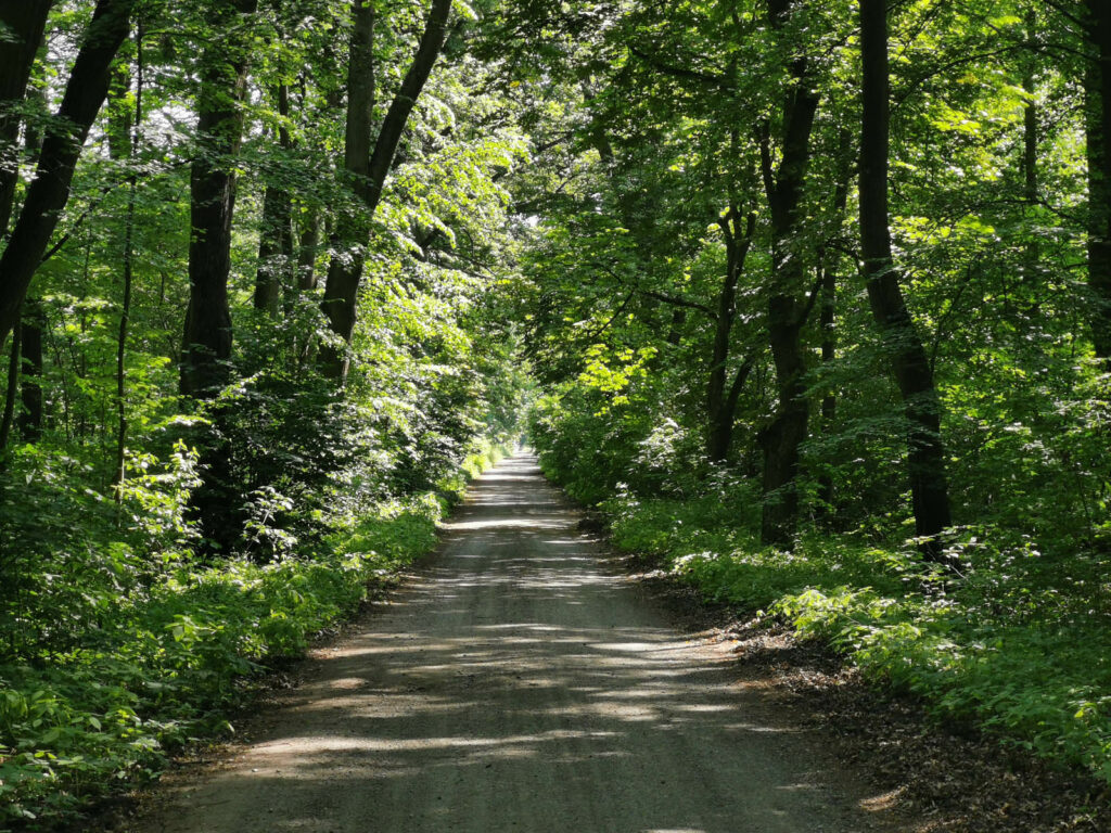
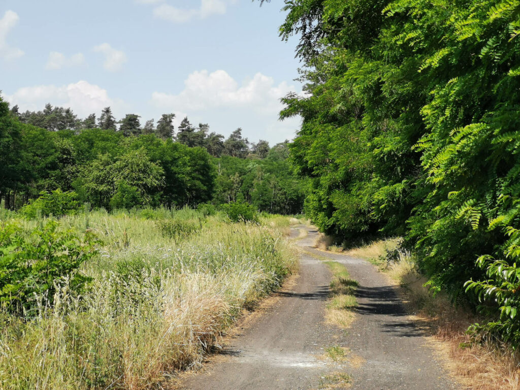
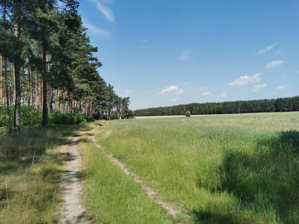
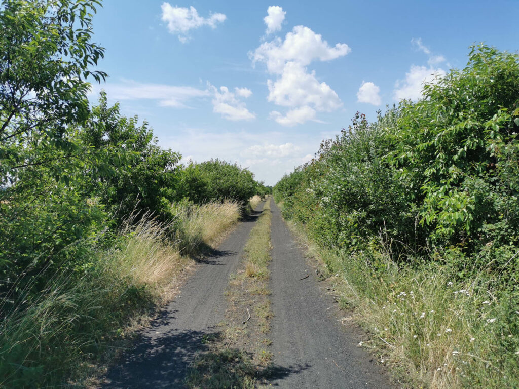
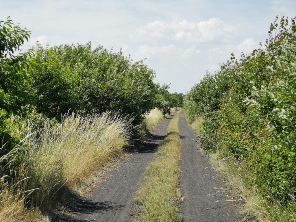
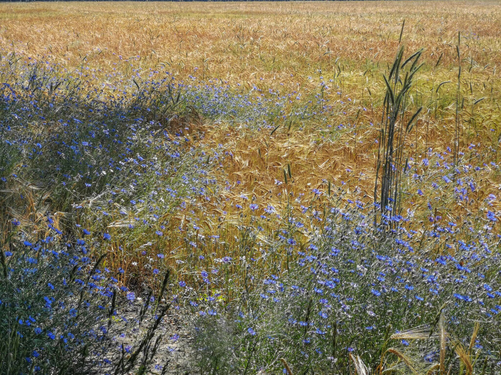
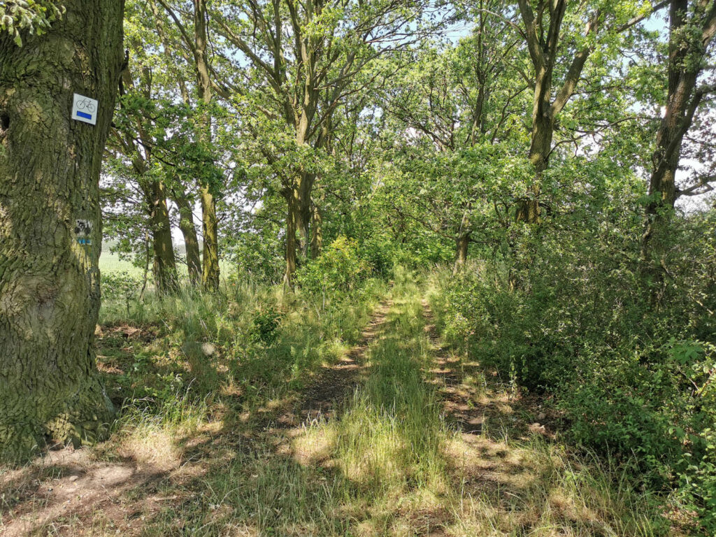
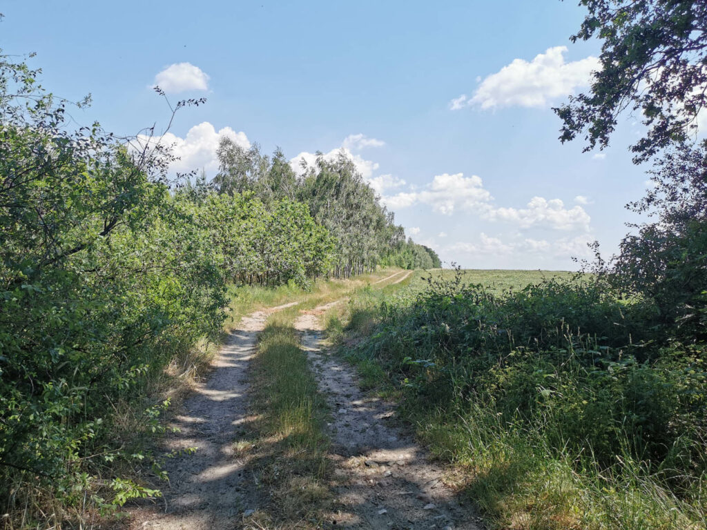
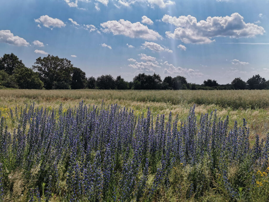
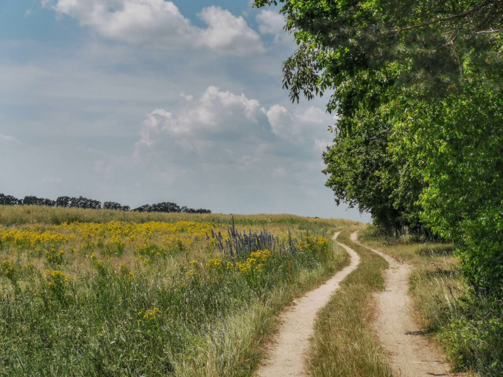
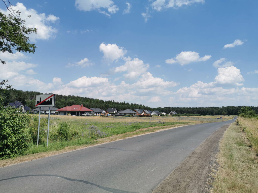
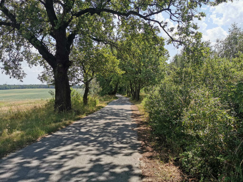
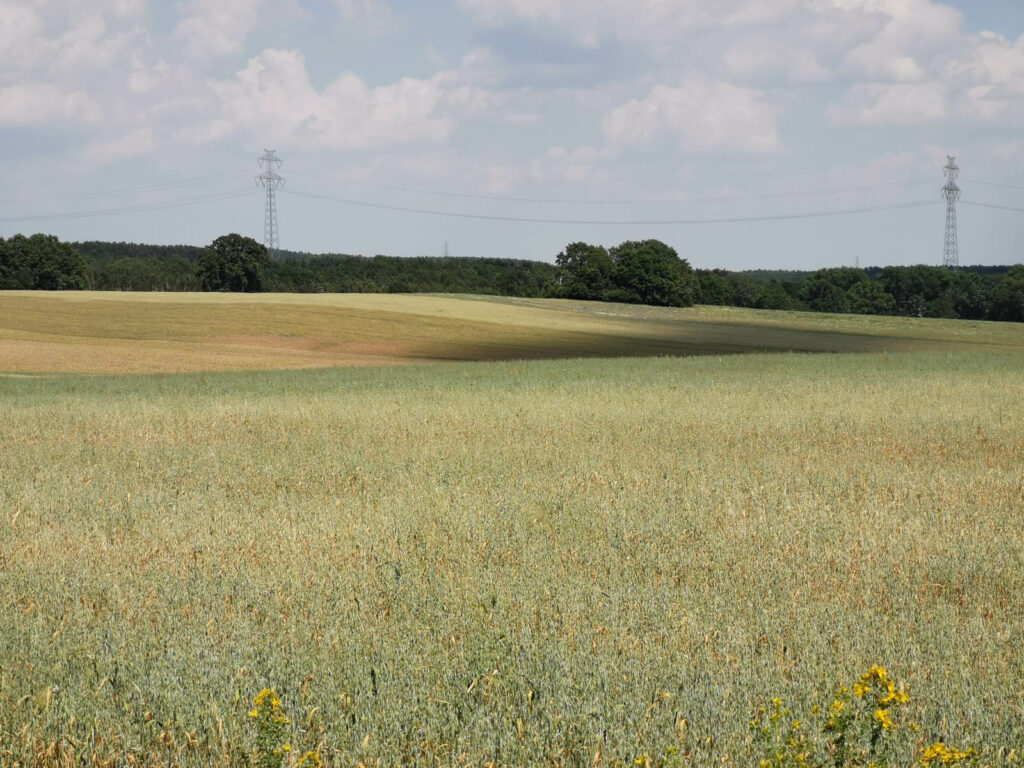
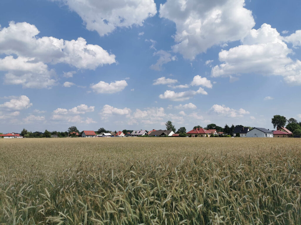
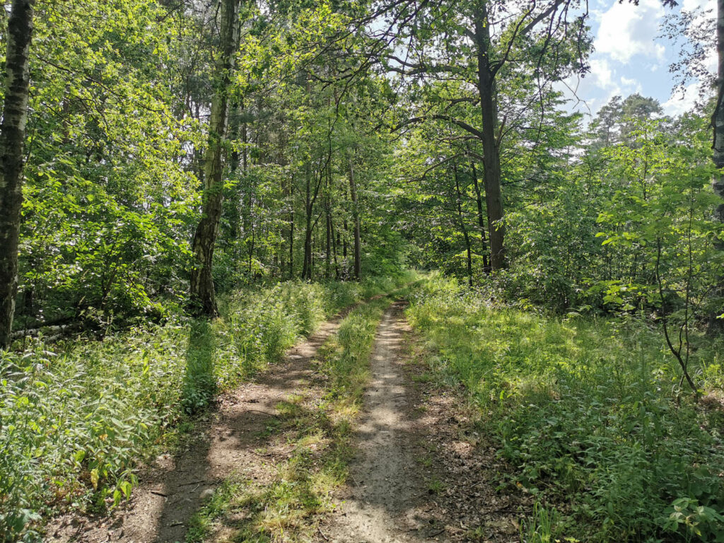
It is an extensive loop around Lubin led mainly among fields and forests. In its west section,
dirt roads predominate and in the east section there are more asphalt roads. Although the area
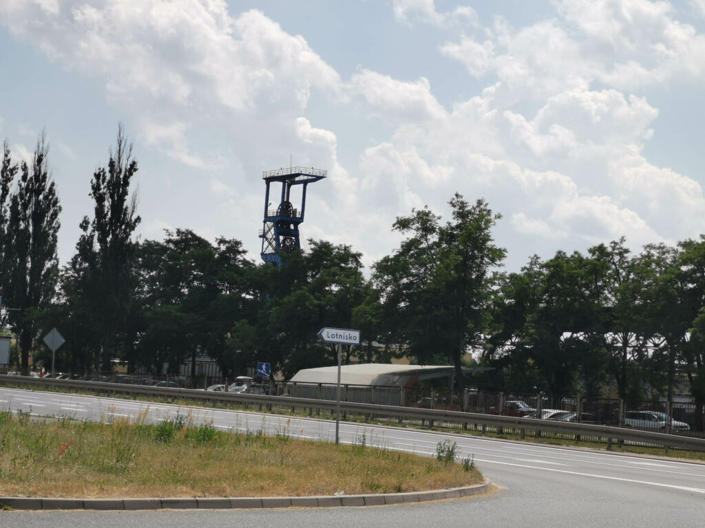
of Lubin and Glogow Copper District is associated with the modern mining industry, it is
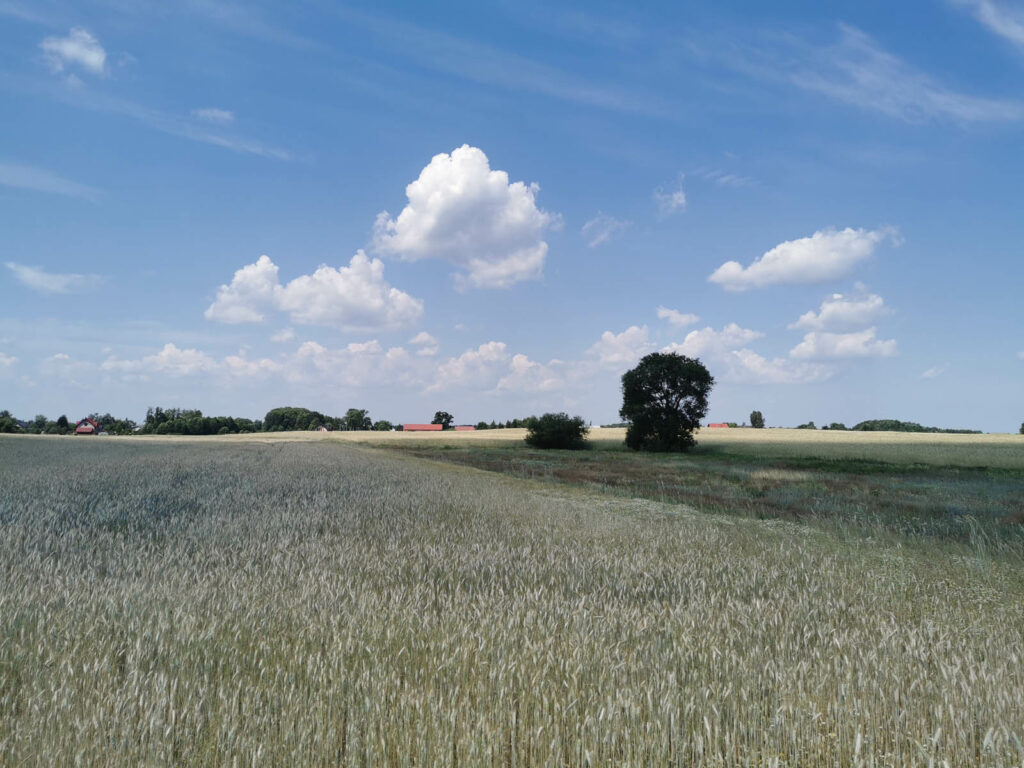
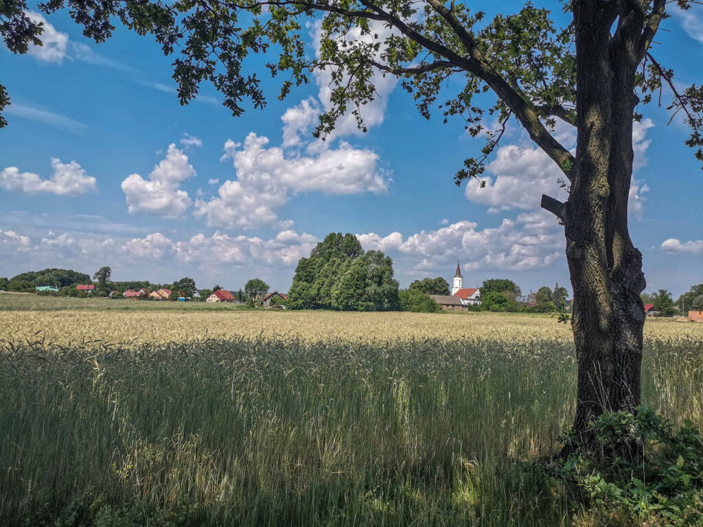
practically invisible on the route. Idyllic forest and agricultural landscapes reign supremely.
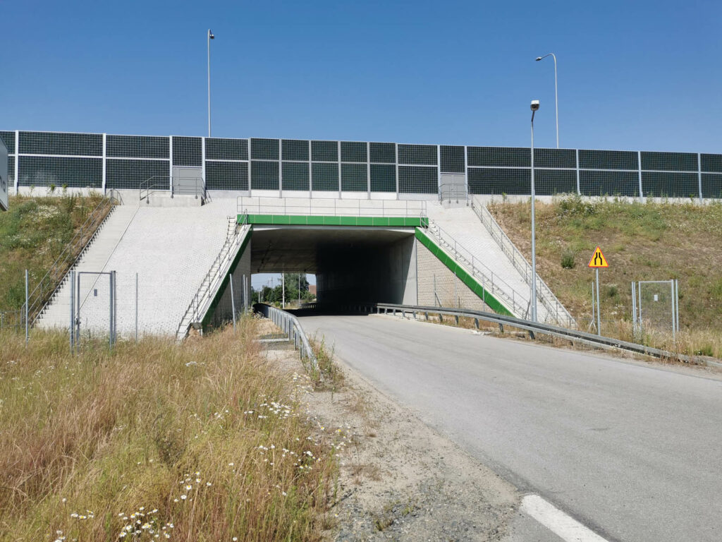
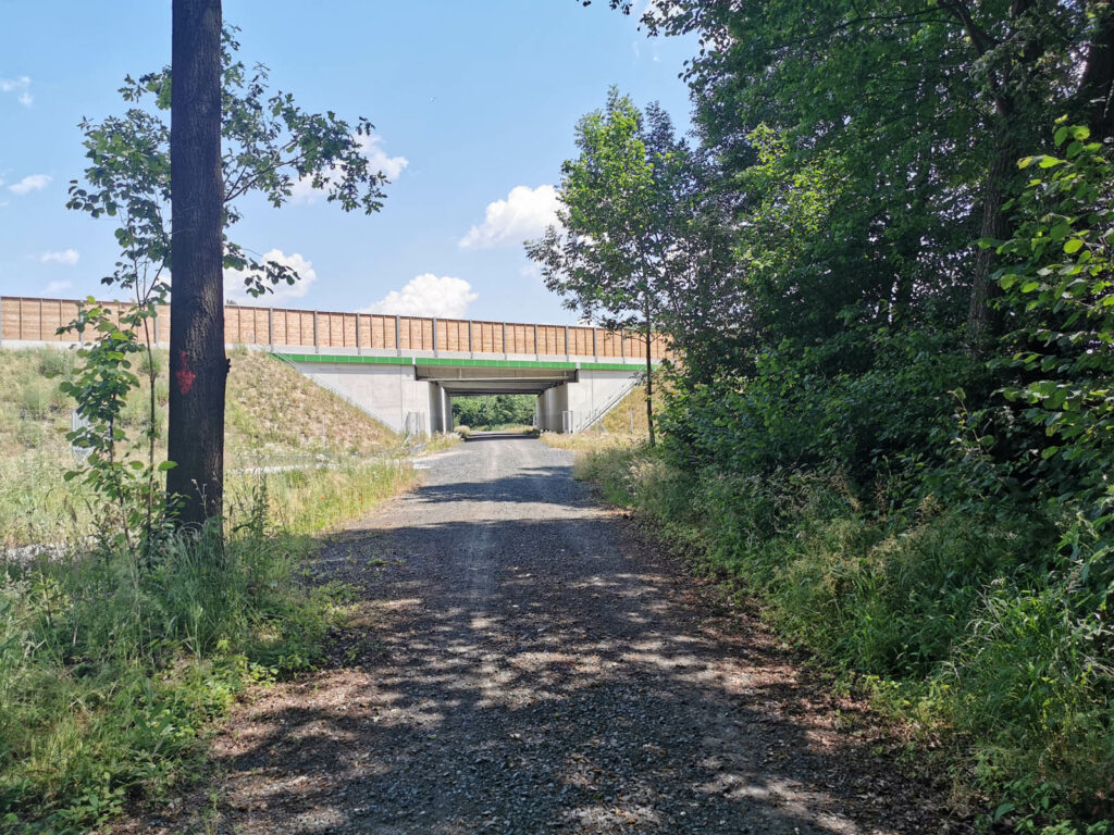
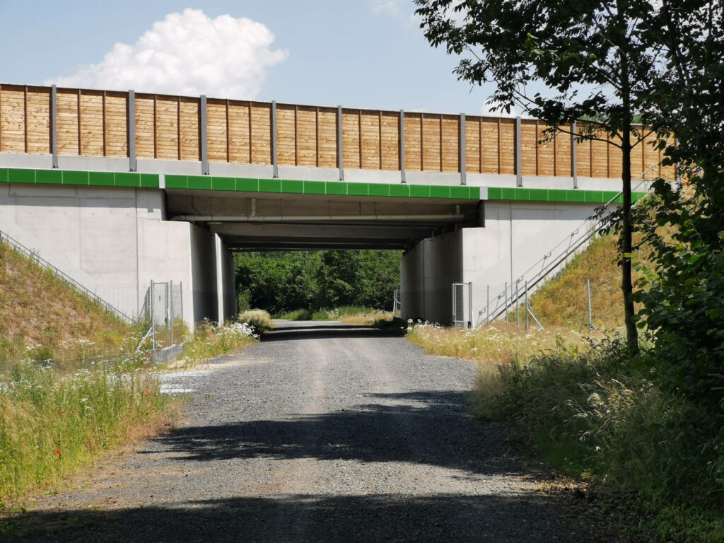
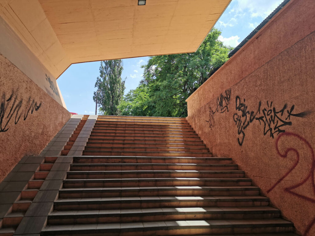
Only when cycling across the north of Lubin do we pass mine shafts and you have to use the
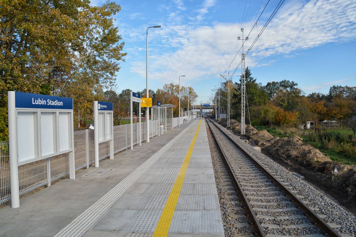
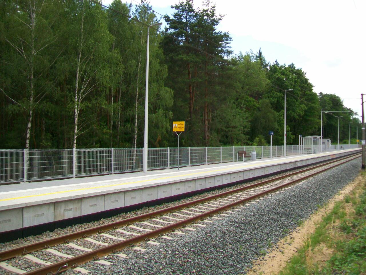
underground passage there. It is worth noting that the route is easily accessible from the train
at Gorzelin, Chrostnik and Lubin stations and the connecting route Obora-Gorzelin marked in
green (DOT29) makes it even easier for you to choose different variants. We describe the
route clockwise.
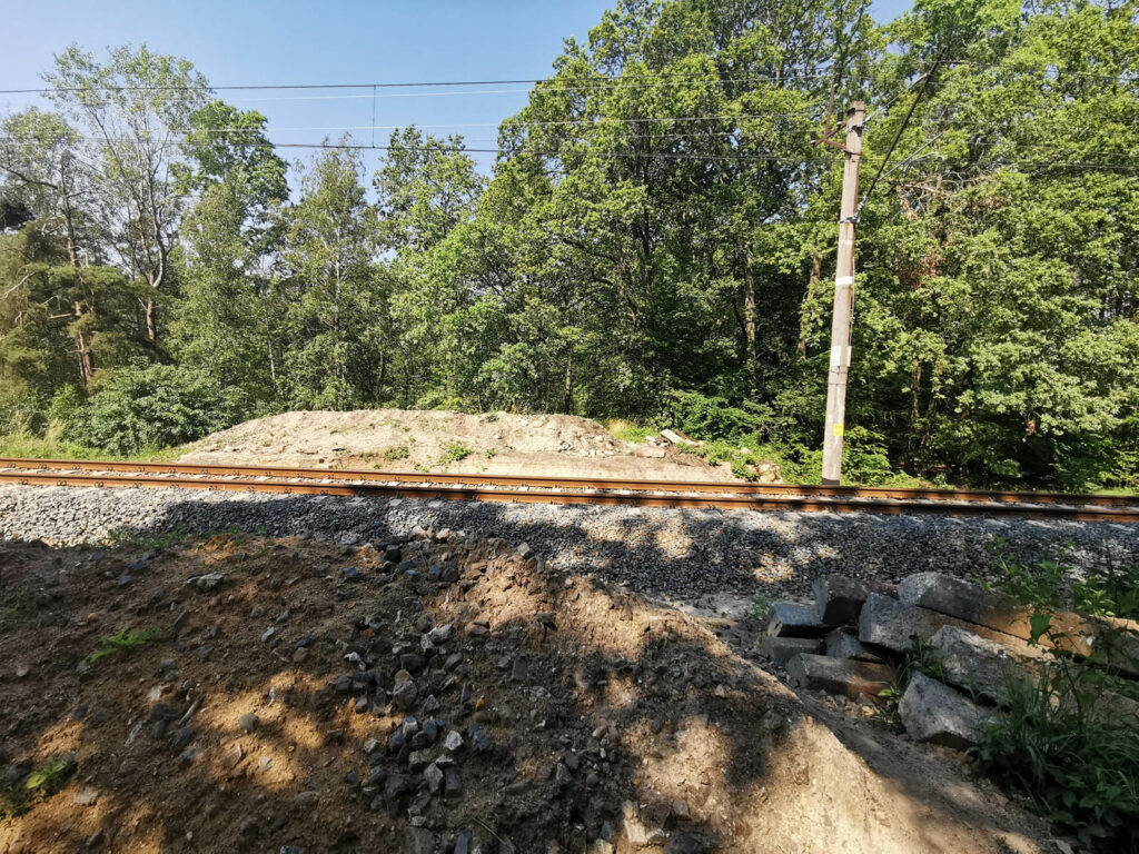
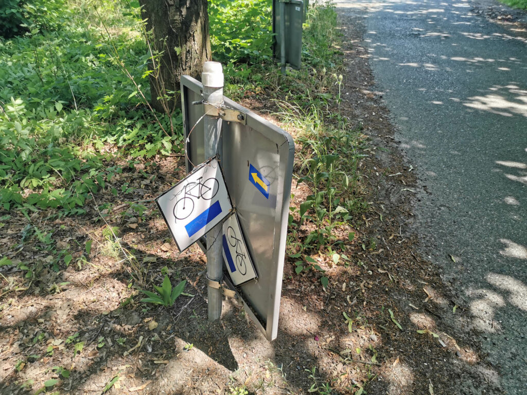
The route is quite well marked, although there are some mishaps. While crossing the railway
line on the Gorzelin-Chrostnik section, you will have to carry the bicycle quite inconveniently
as the passage there has been closed. You can plan a possible detour of this section.
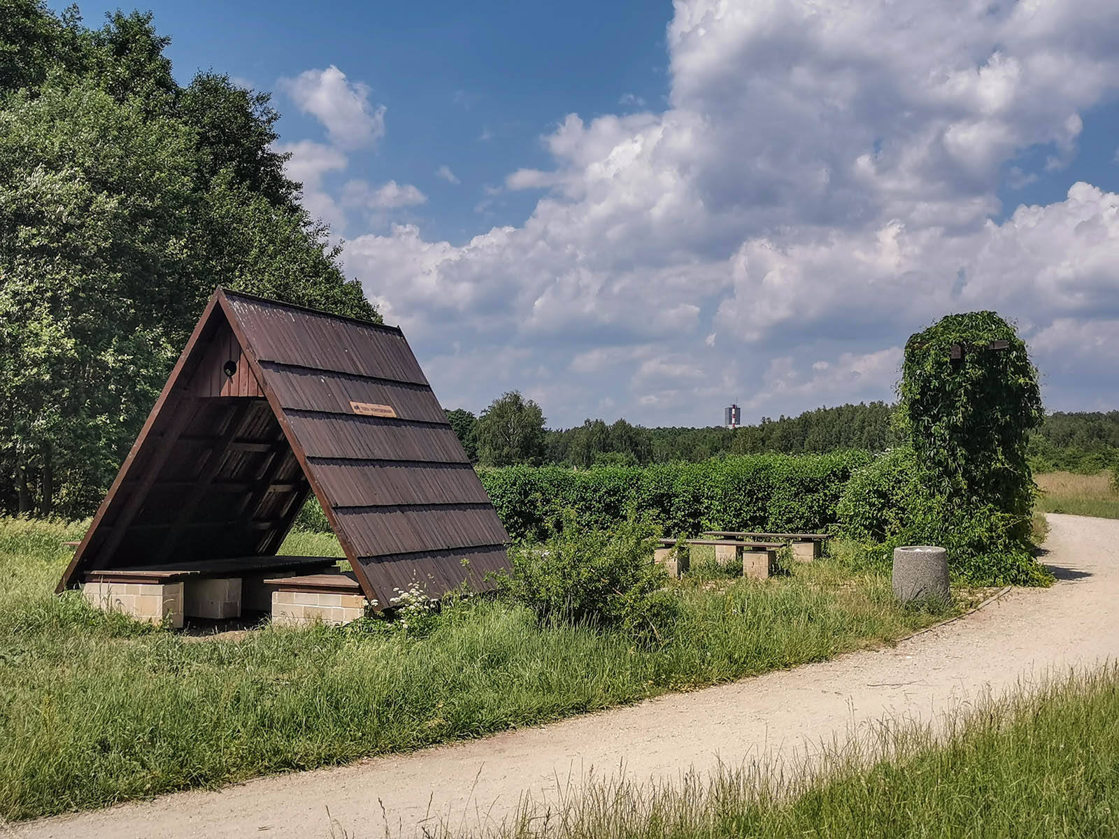
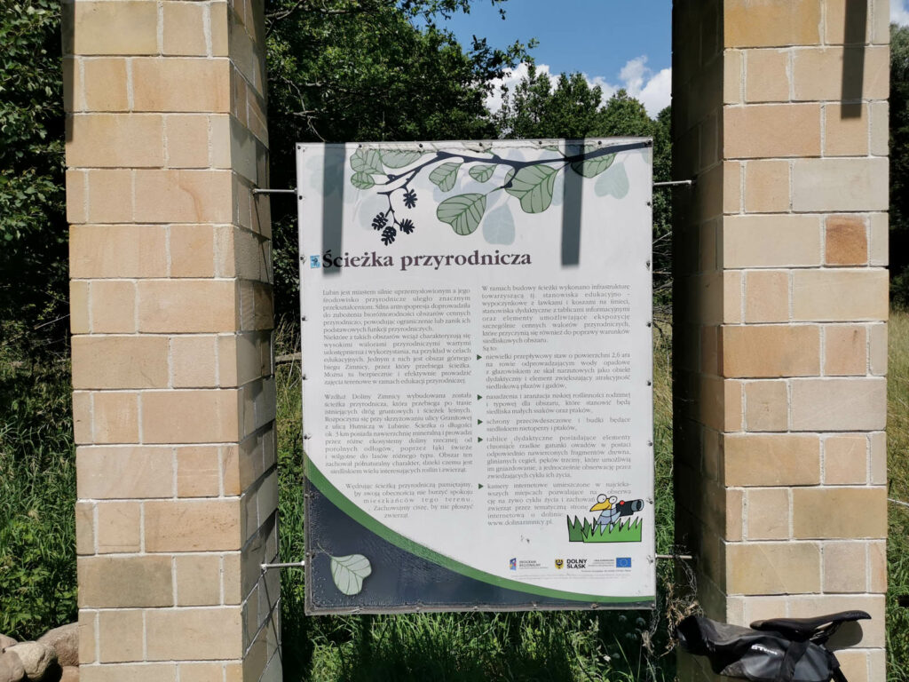
Nature trail
The loop runs through the ‘Dolina Zimnicy’ (Zimnica Valley) nature trail. You can find its
description at DOT30.


 0/5
0/5
