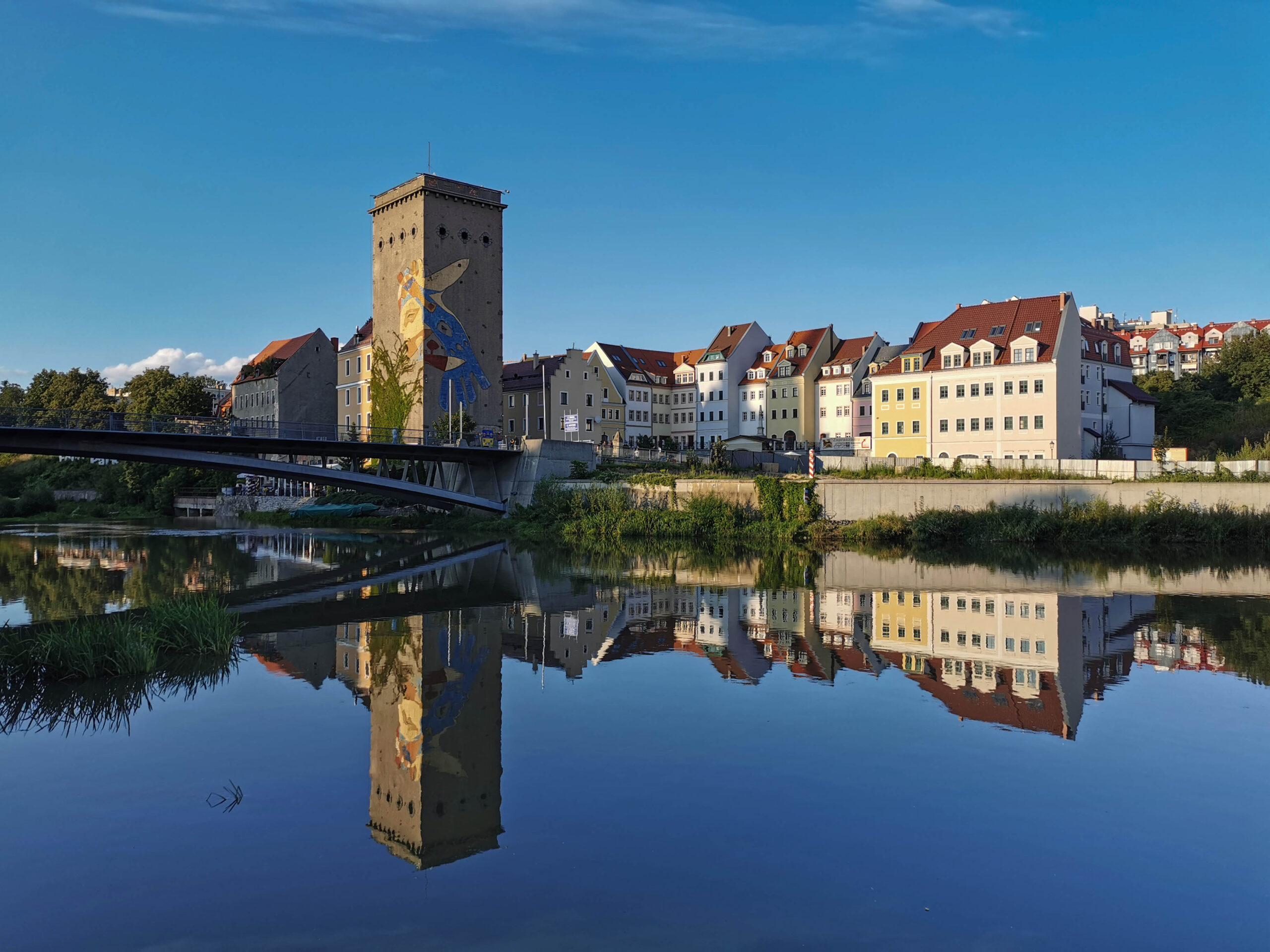
Via Sacra, cycle route no. 1. DOT300
Route details
Route development and digitalization of the route implemented as part of the project “Via Sacra – contribution to cross-border networking and development of the tourist product” registration number PLSN.02.02-IP.01-0002/23, as part of the Interreg Poland-Saxony 2021-2027 program
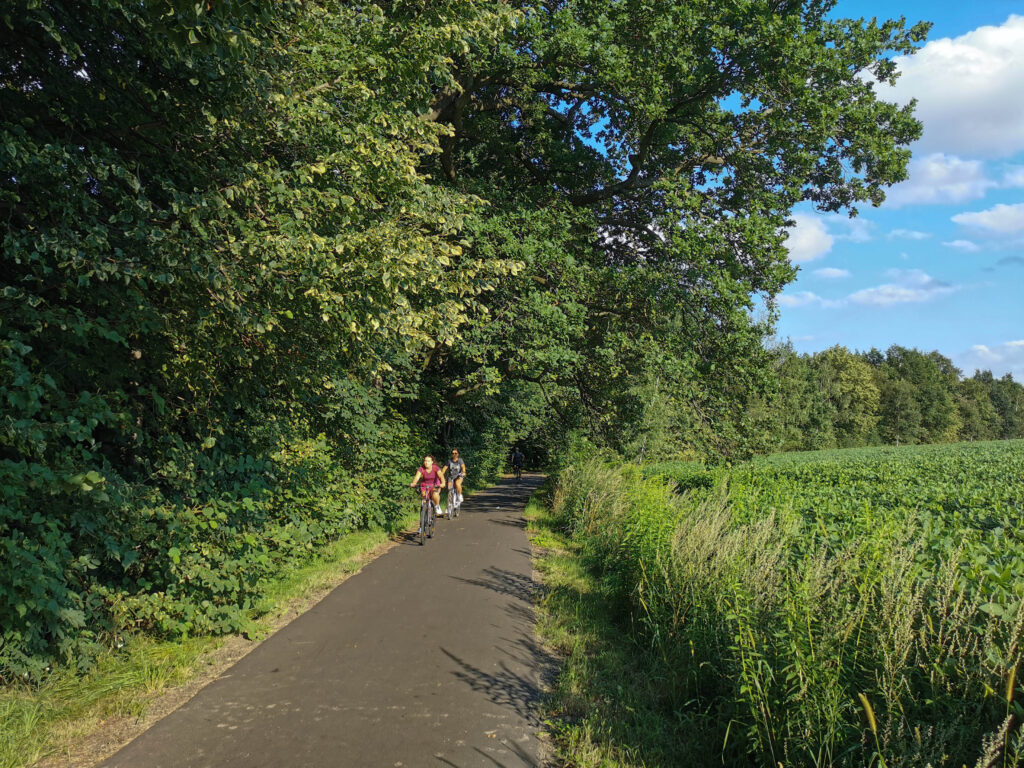
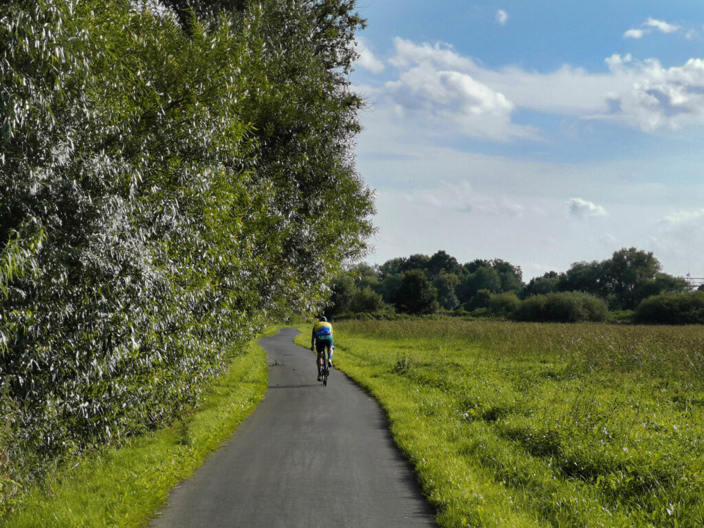
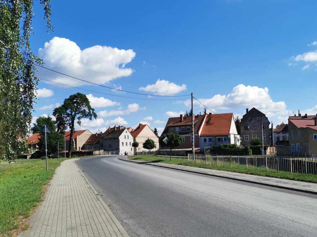
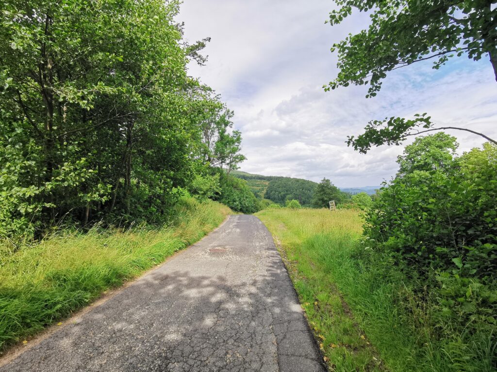
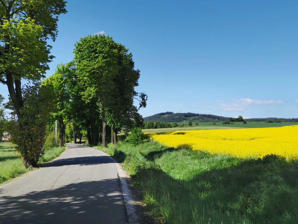
The sacral bicycle 1 tourist route is dedicated to pannier tourism, gravel, and even road bikes. It is 176 km long, total elevation gain (+2362 m, -2046 m). It starts in Zgorzelec and ends in Chełmsk Śląski (there it connects with the Czech variant). It runs almost entirely on asphalt roads, most often of good quality and with small and moderate traffic. The gradient only exceeds 6% in a few places. The most difficult places, reaching 12%, are the ascent to Wang and the Karkonosze Pass. Along the way, we can admire the charming towns of Lower Silesia.
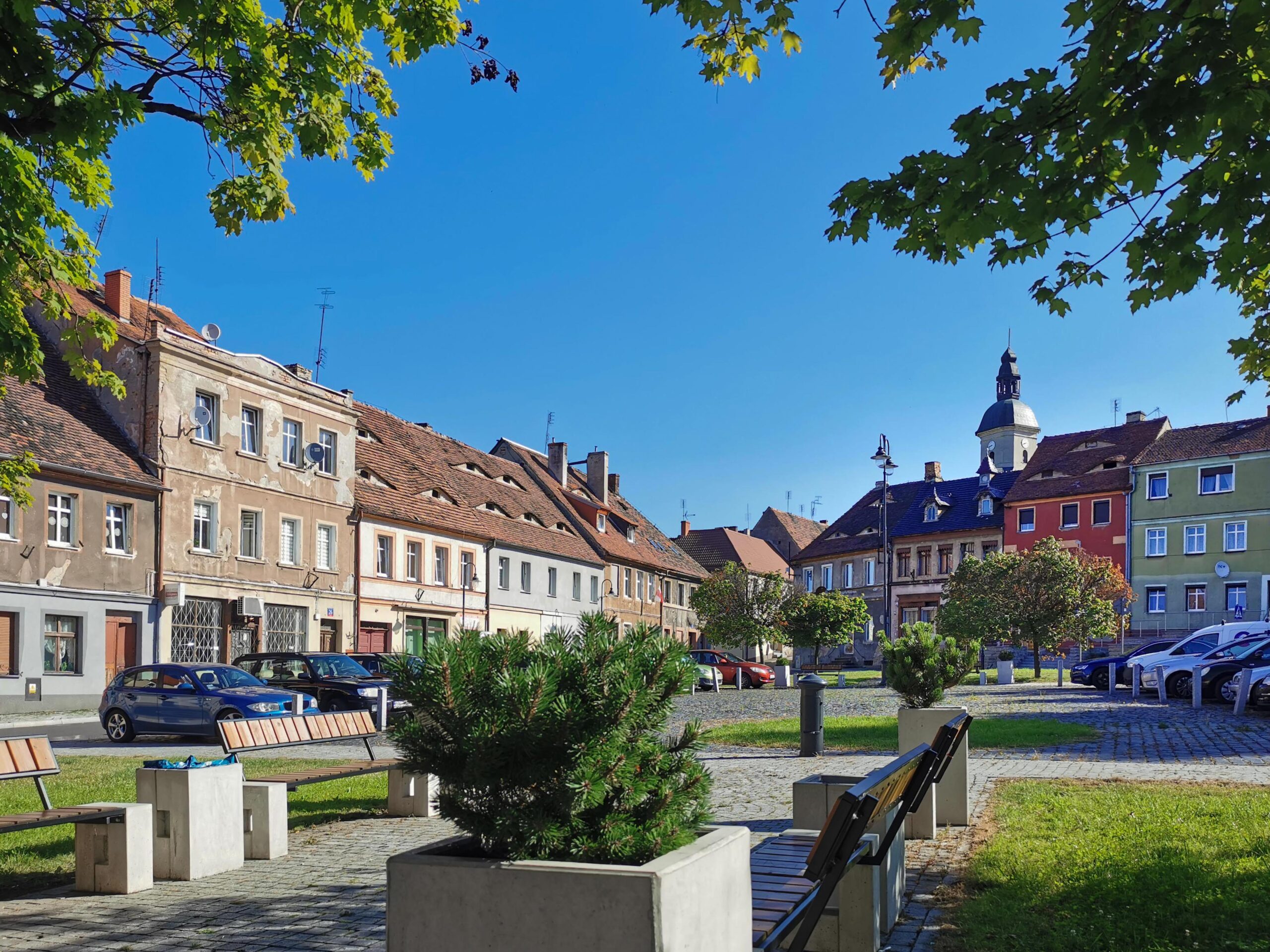
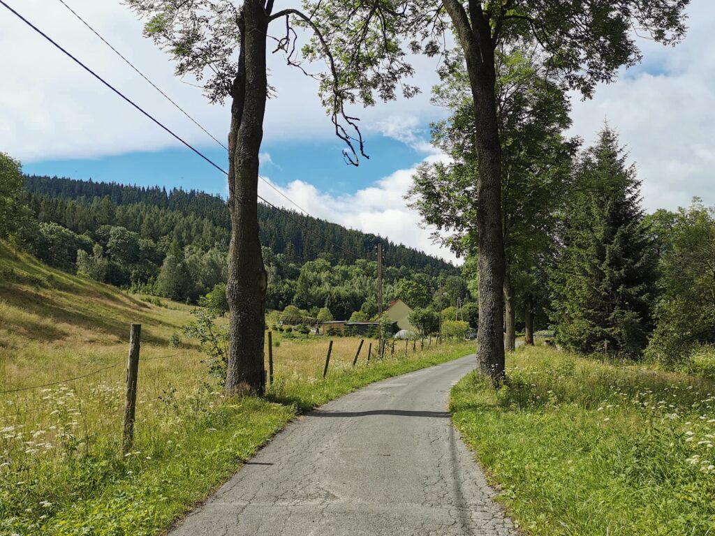
Part 1 Zgorzelec – Zawidów (0.0 – 25.8 km)
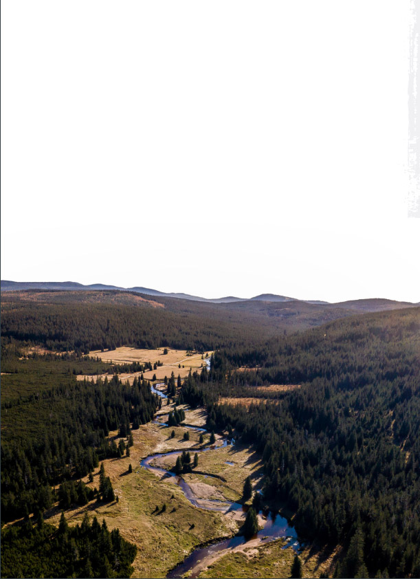
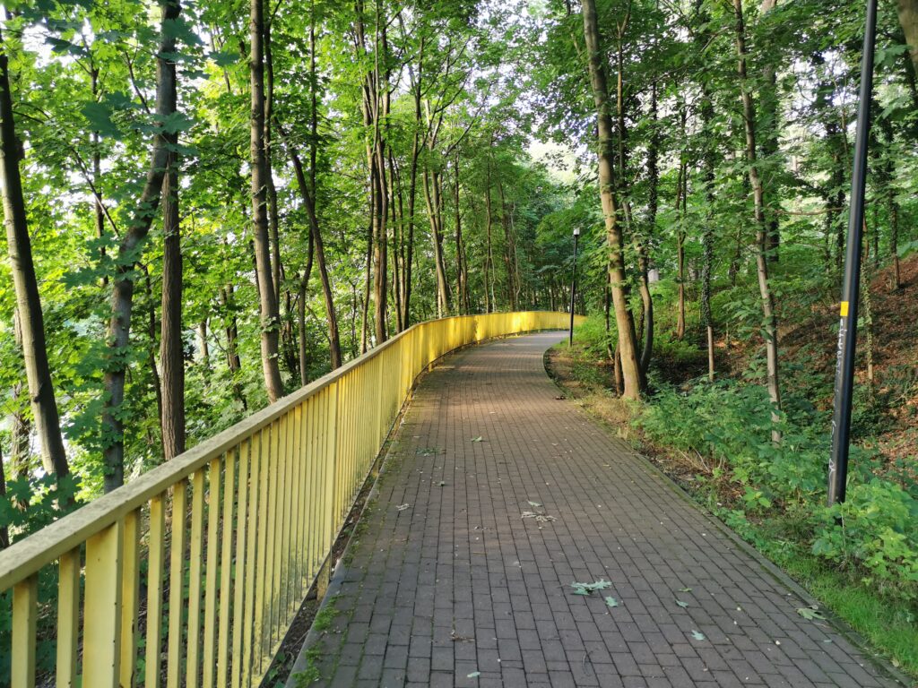
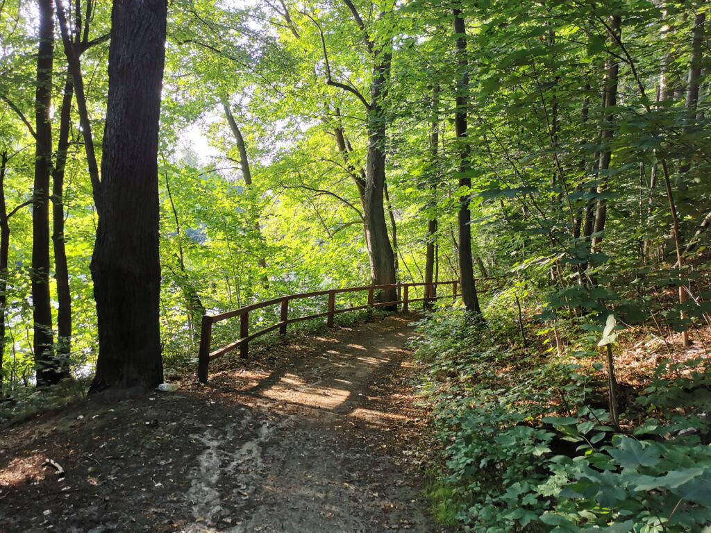
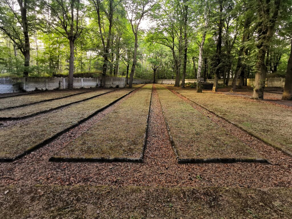
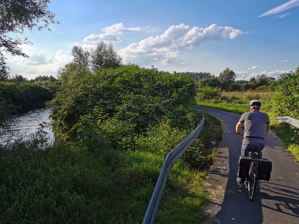
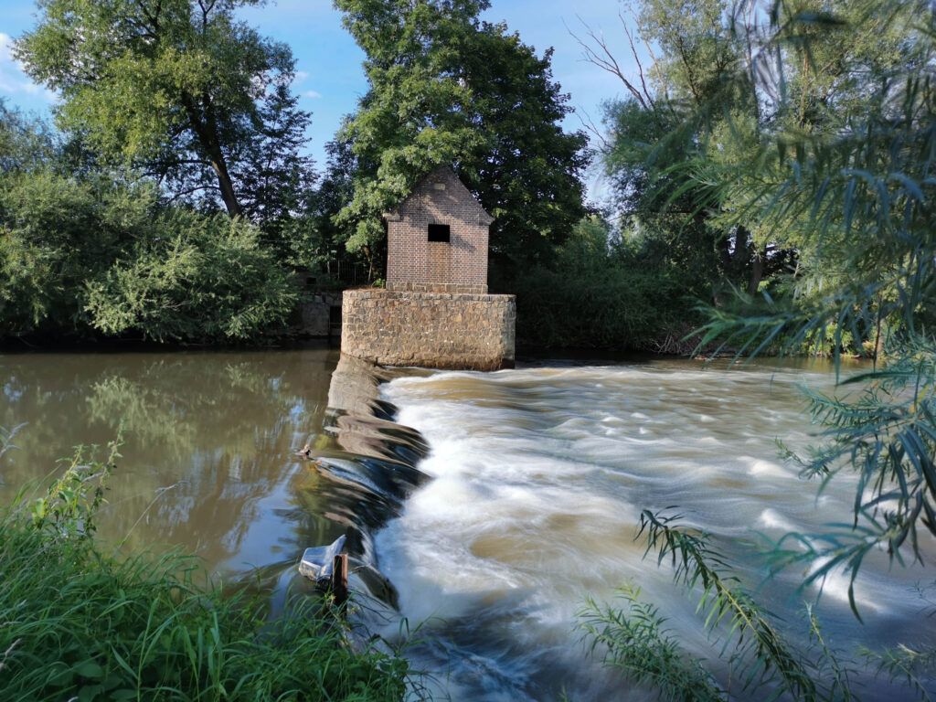
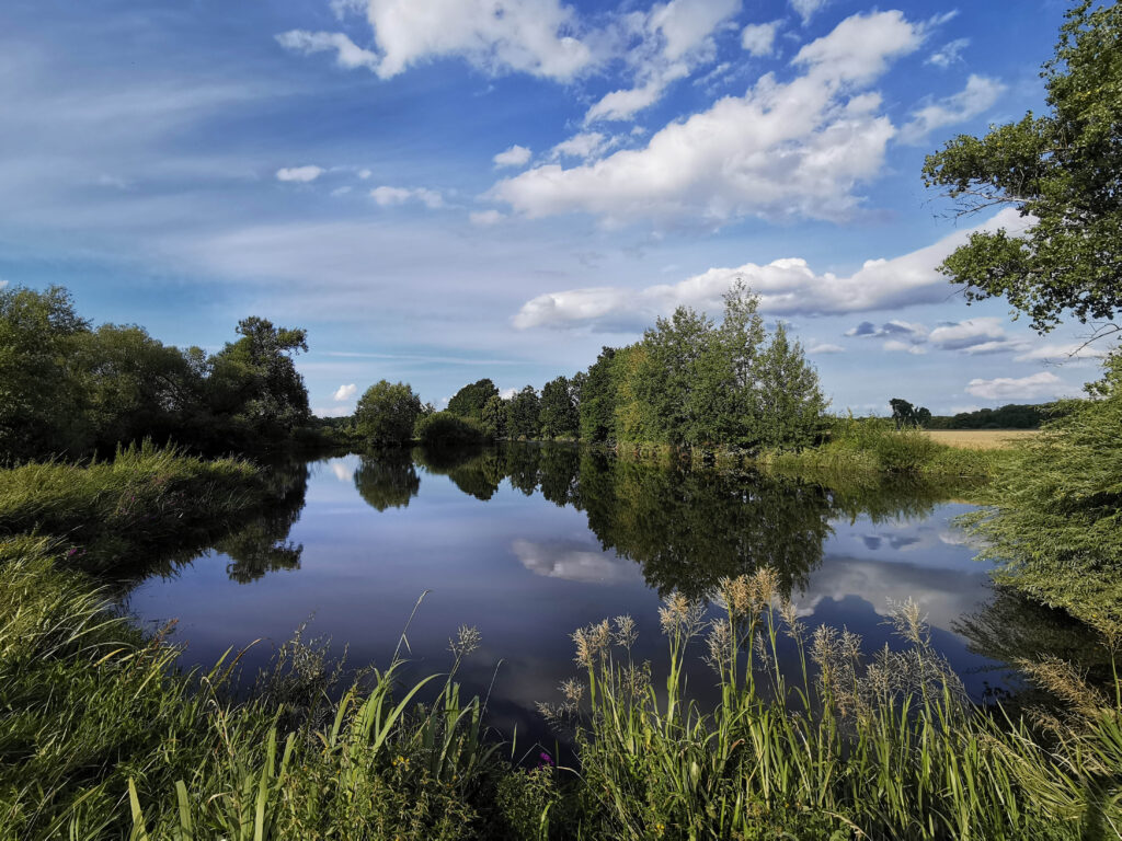
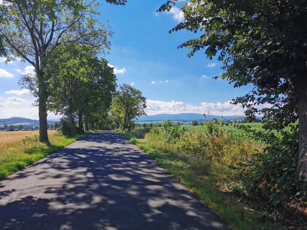
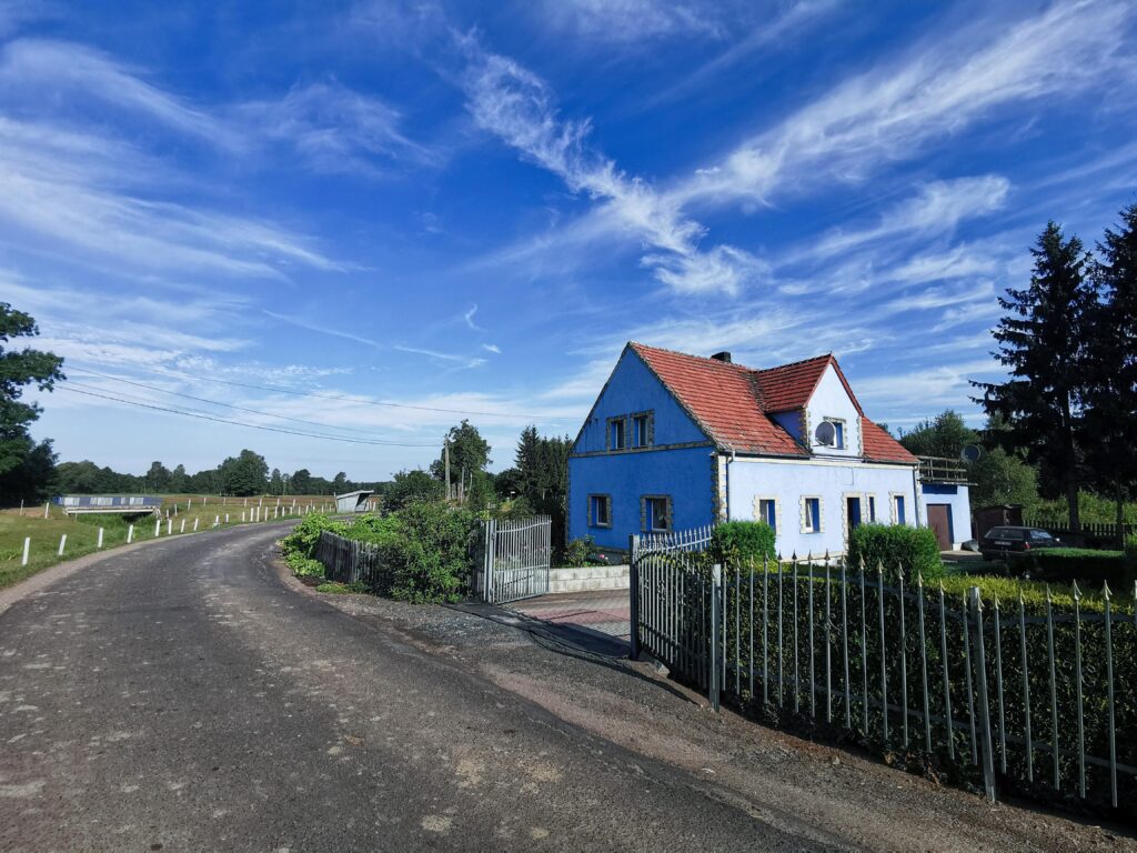
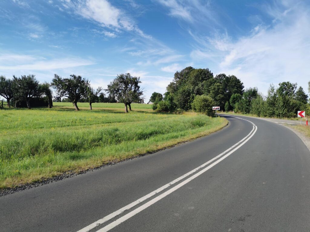
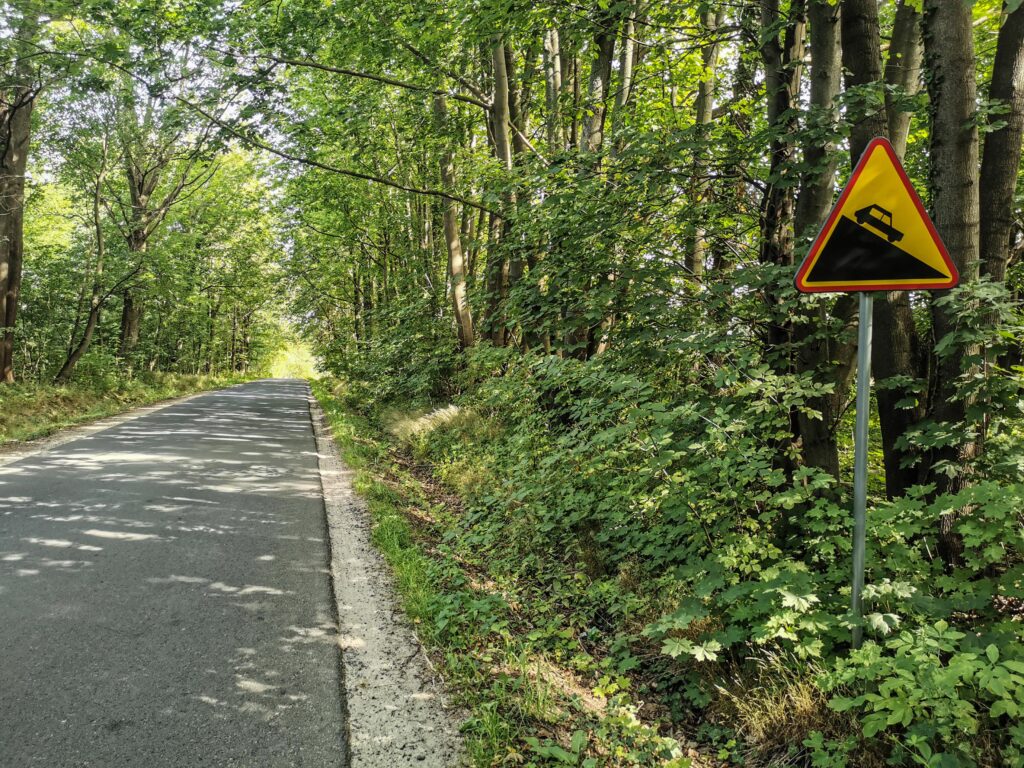
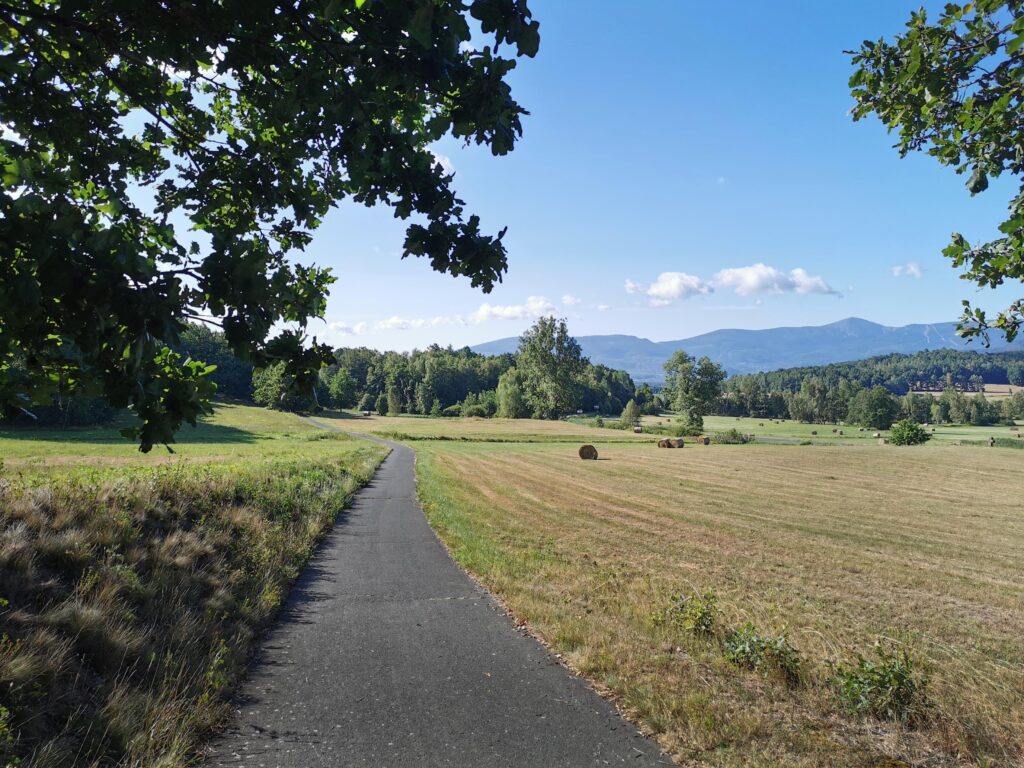
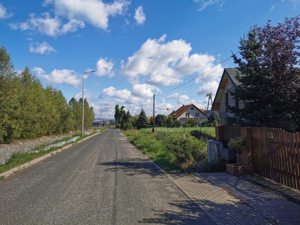
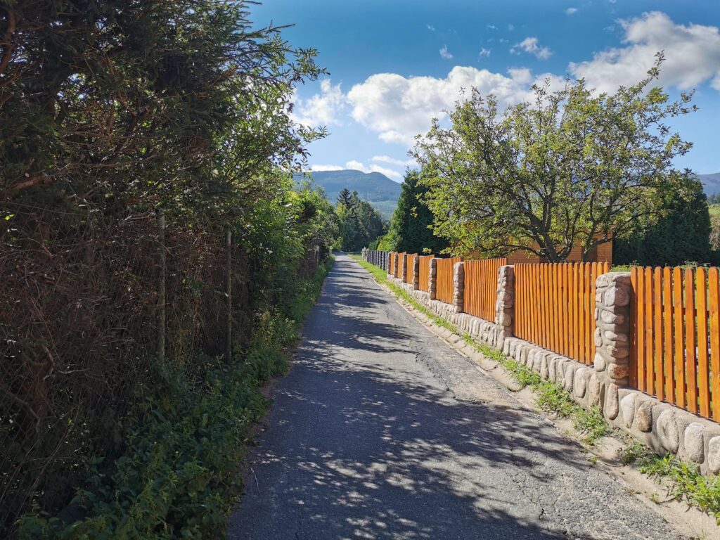
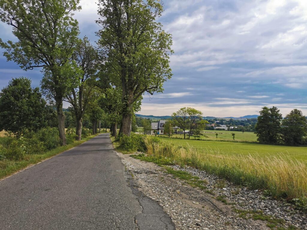
We start at the old town bridge. At the beginning, we ride along the Lusatian Neisse for a while on bevelled concrete blocks and a park dirt road. Smooth asphalt quickly begins. On the border of Zgorzelec, we can take a short break to visit the exhibition dedicated to the Stalag VIII A POW Camp. After that, we ride almost 10 km of ddr (bicycle path). The asphalt is smooth, the route meanders constantly along the Lusatian Neisse. The next important point of the program is the dam in Niedów and a bit further on, extensive panoramas from Słowiańskie Wzgórze – the first warm-up climb on the route. Almost the entire described section is exposed.
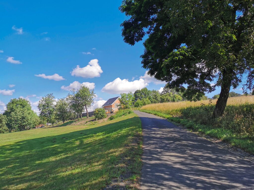
Part 2 Zawidów – Leśna (25.8 – 47.3 km)
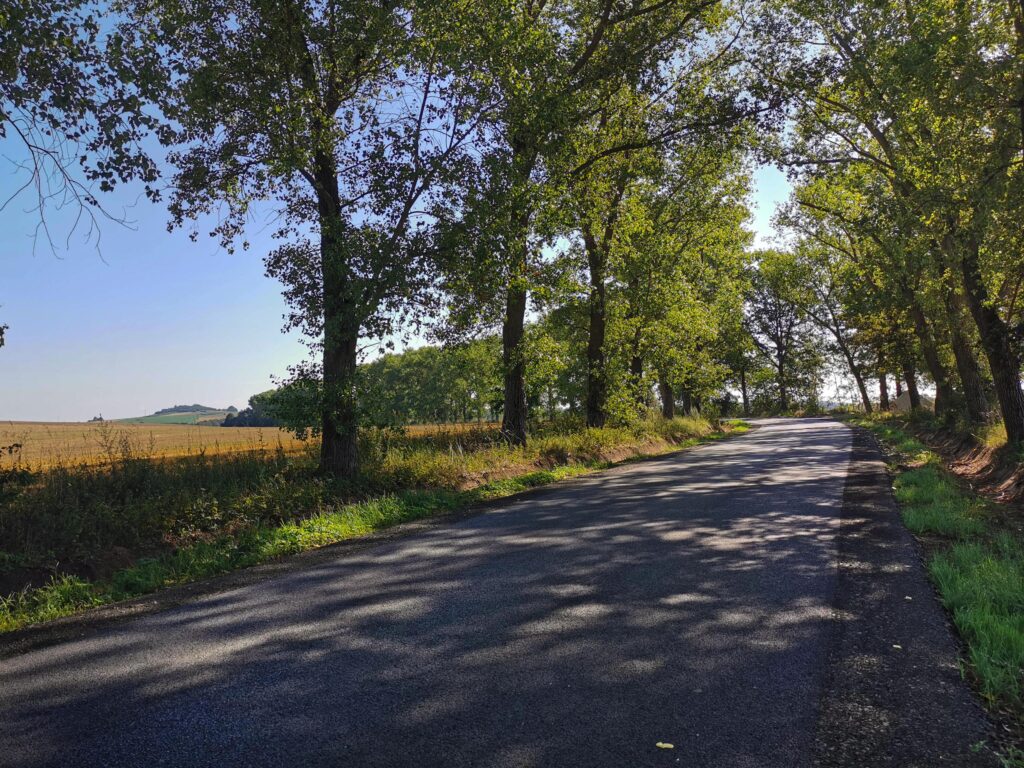
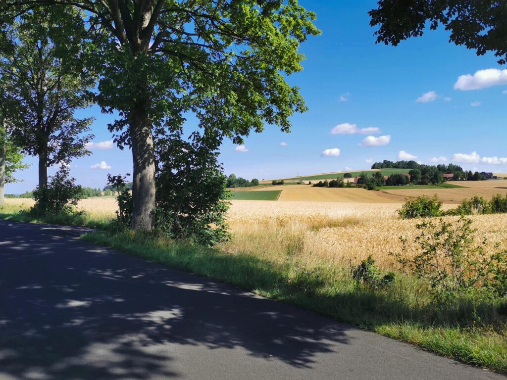
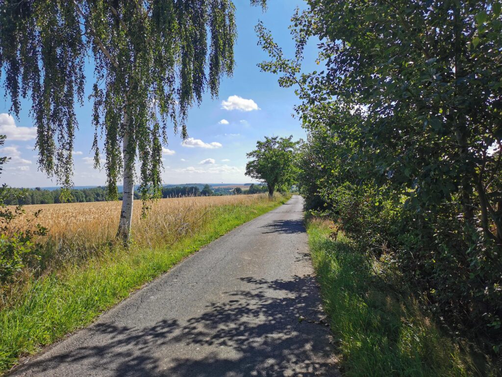
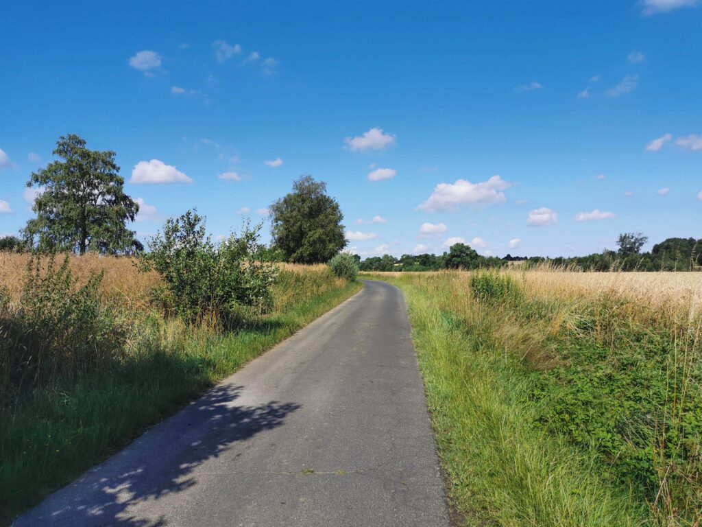
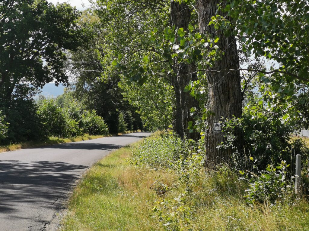
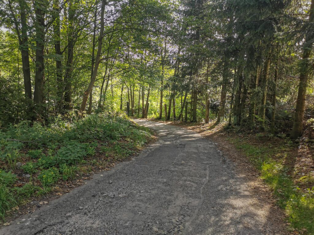
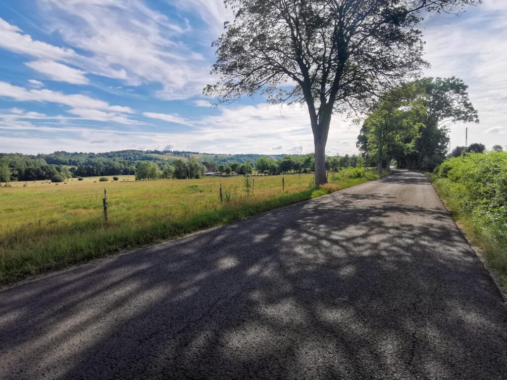
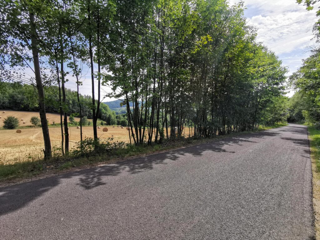
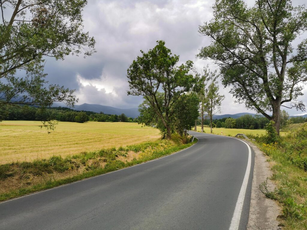
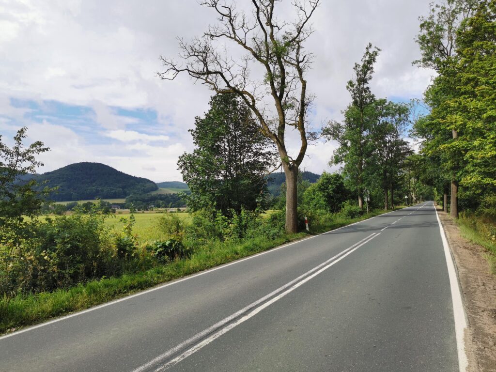
The entire asphalt comfort zone. The first 15 km is a slight, almost imperceptible climb, the end is downhill. We are accompanied by extensive views. Fortunately, the road is lined with trees on many sections, so there is plenty of shade. Our hearts were stolen by a beautiful one-kilometer section north of Grabiszyce Średnie (“Widok za Grabiszycami”) with beautiful views and a narrow, intimate, overgrown road with perfect asphalt. Further on (up to DW 358) it is just as good. The last 3-4 km before Leśna are worse in this respect, but still not bad.
part 3 Leśna – Gryfów (47.3 – 64.2 km)
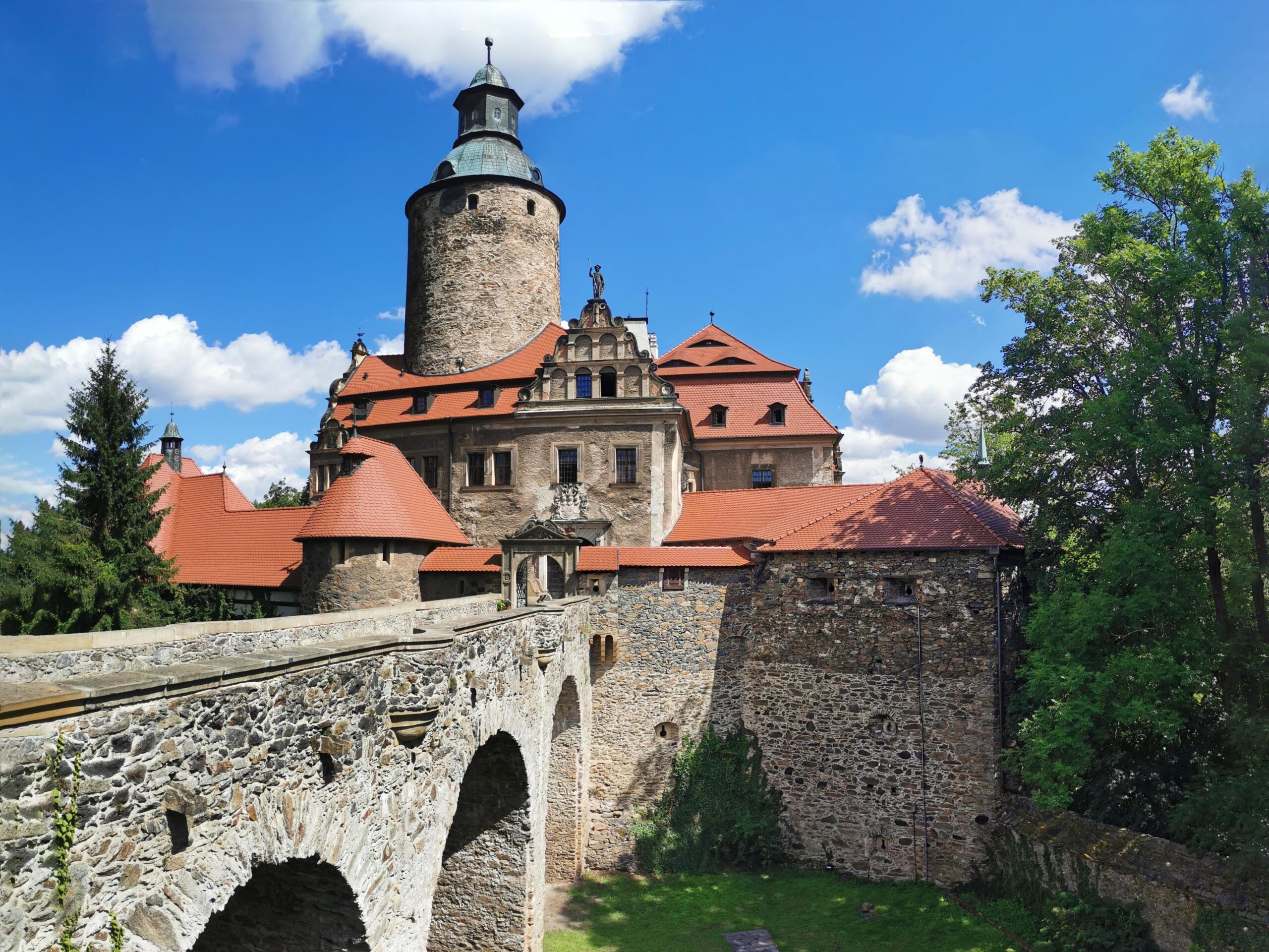
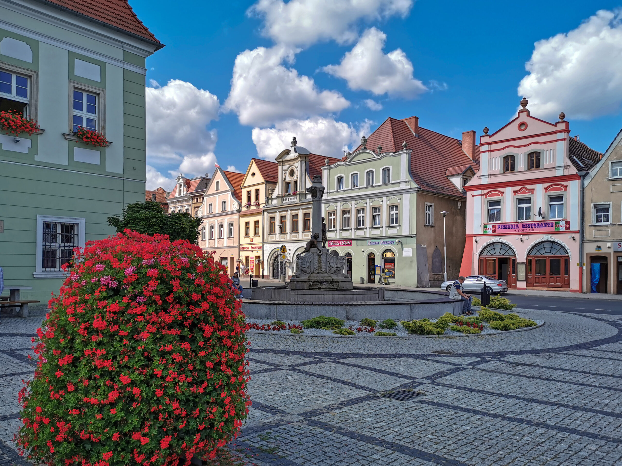
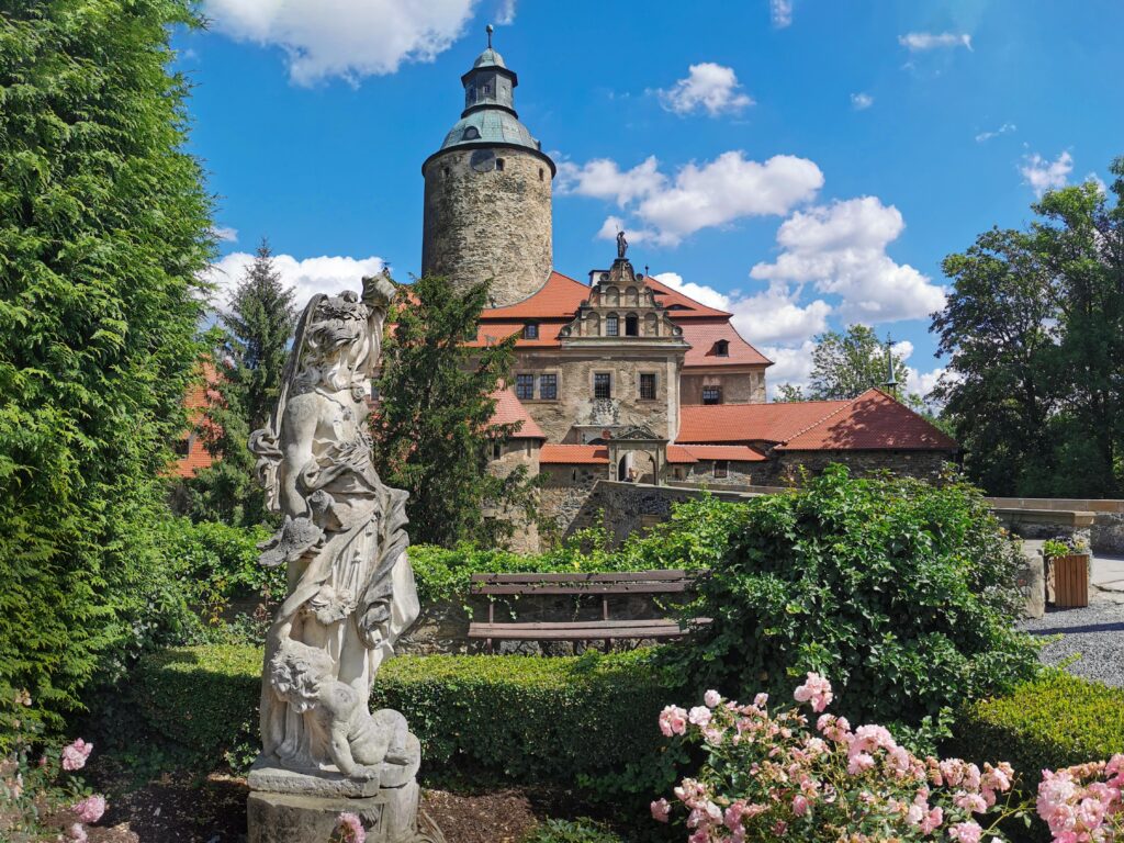
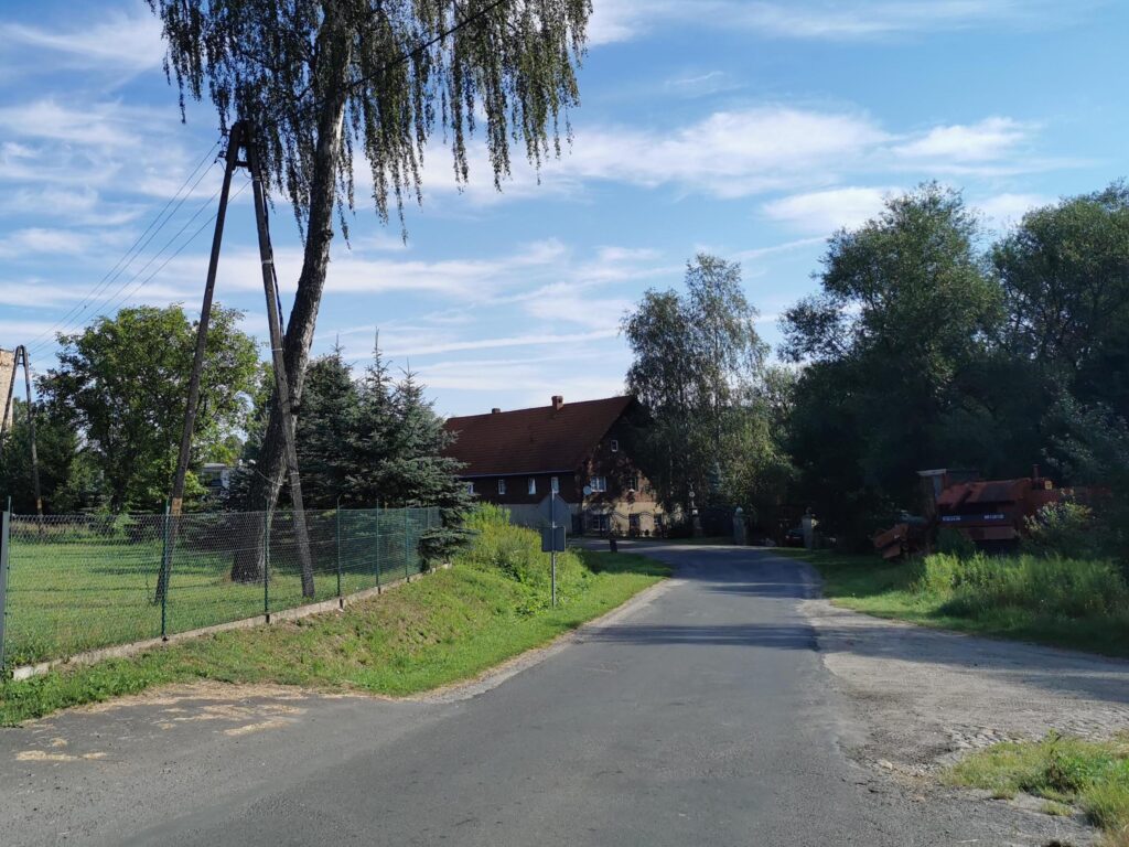
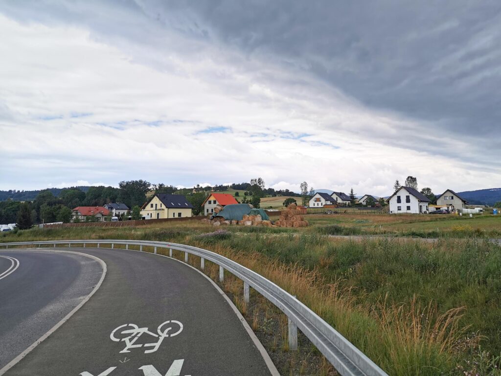
We cross the Kwisa and keep to its northern bank, we have to drive up a bit here. On the way, a moment of contemplation of the landscape on the Orli Skały and another on the Leśnia Dam. A short and solid vehicle and before we know it – the attractions of Czocha Castle. Here you can “get stuck” for longer (or even plan an overnight stay). After sightseeing, we make up for time on a comfortable (and quite busy) asphalt road (6 km), and then turn towards Zacisze, where, as the name suggests, we will find a narrow, smooth, local asphalt road. This is how we will reach Gryfów Śląski.
part 4 Gryfów Śl – Lubomierz (64.2 – 74.3 km)
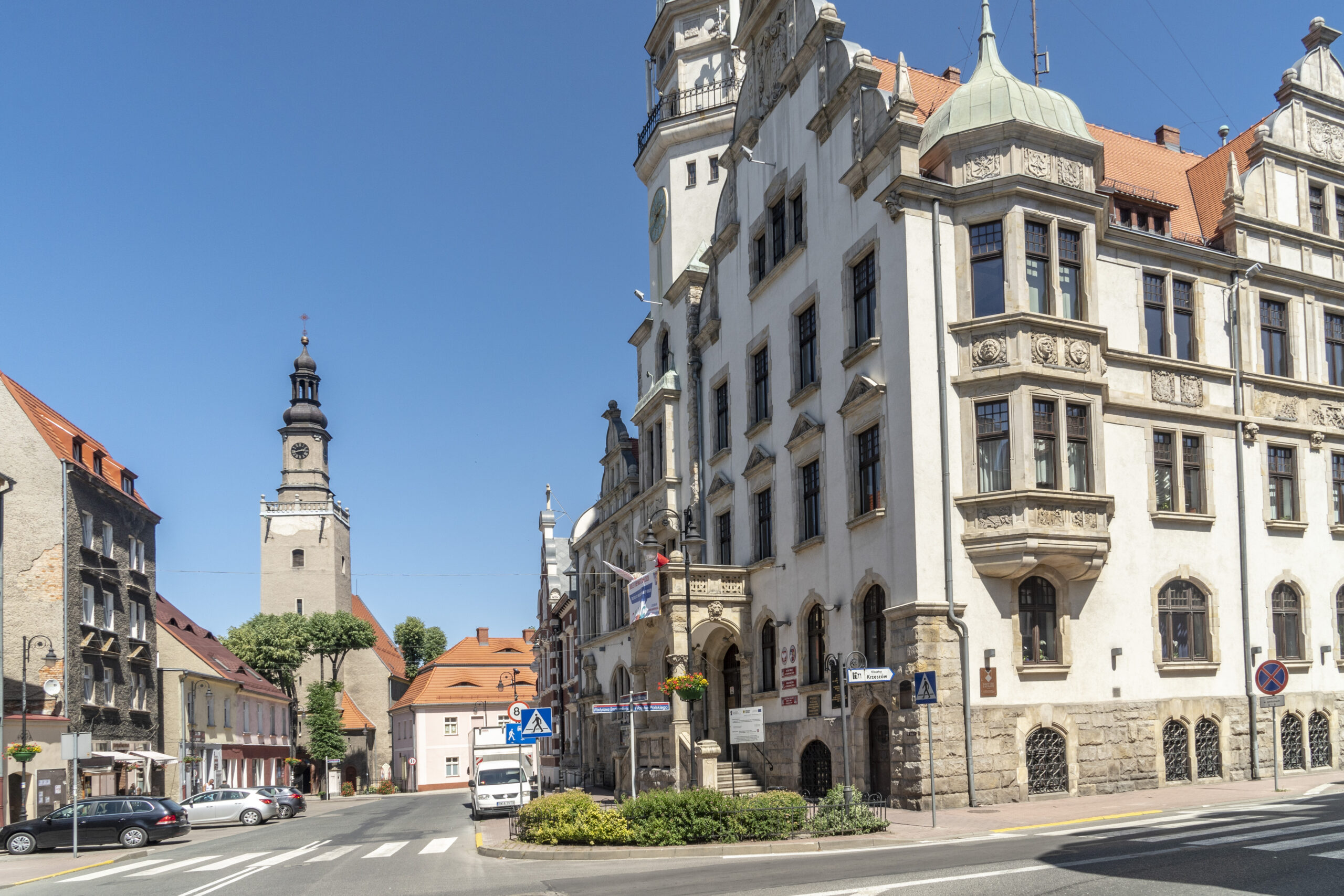
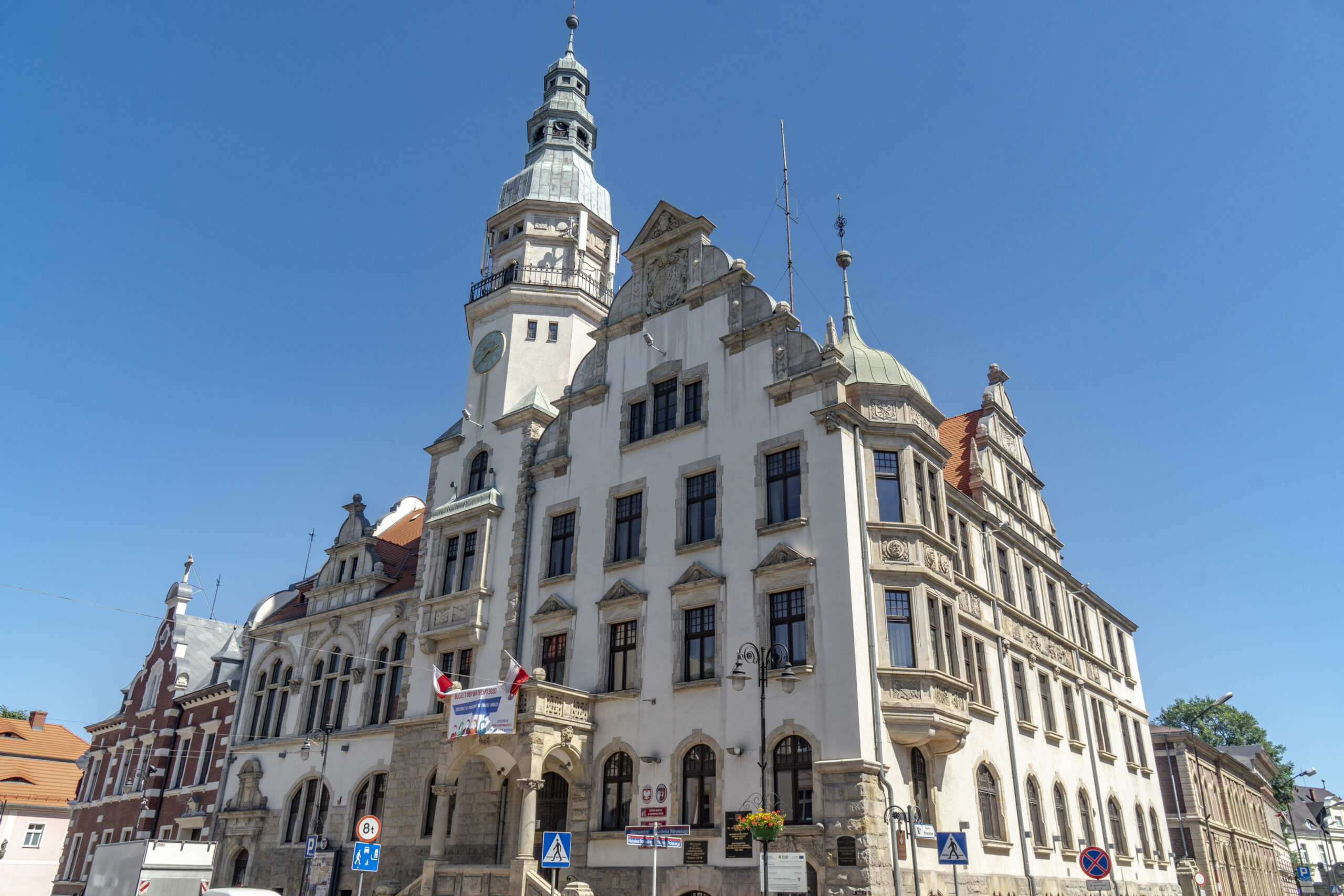
We start on the quite busy DW364. In Ubocze, we turn as the name suggests. For the next few kilometres, we drive on a small road (not in the best condition). The route basically bypasses Lubomierz. However, you can turn because Wolności Square is interesting.
part 5 Lubomierz – Zapora Pilchowicka (74.3 – 88.5 km)
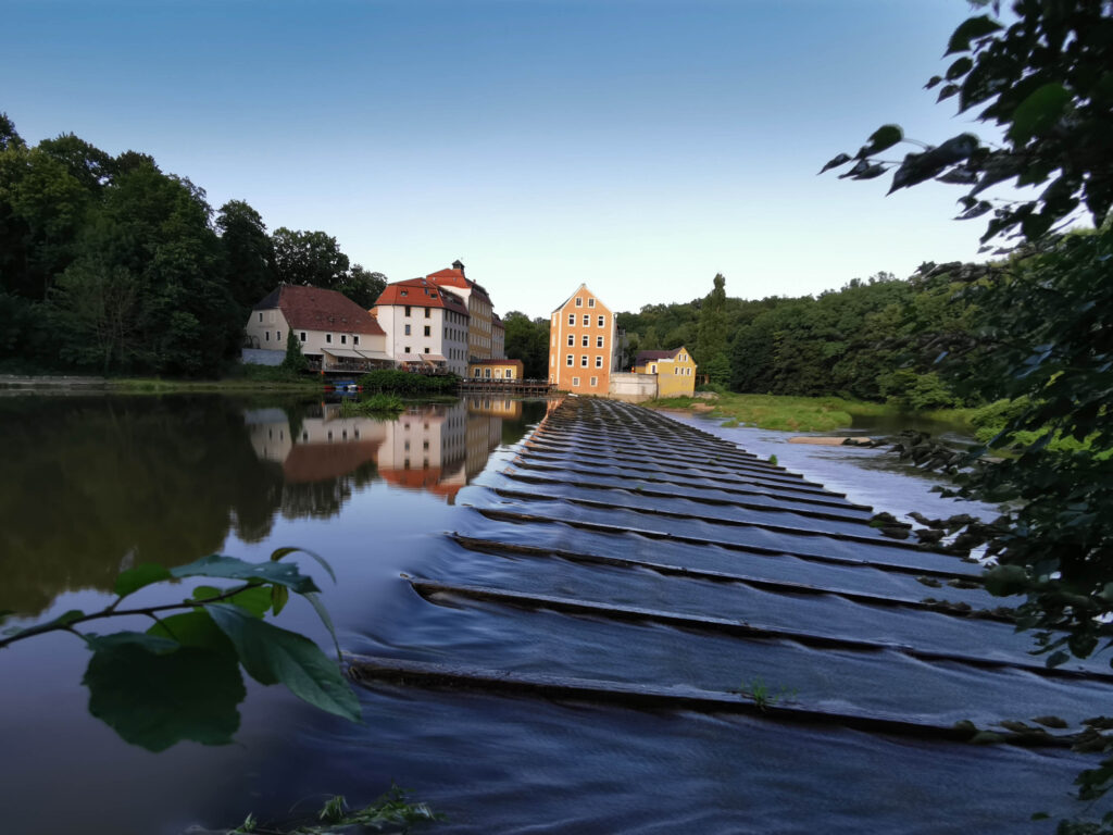
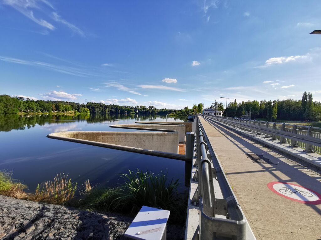
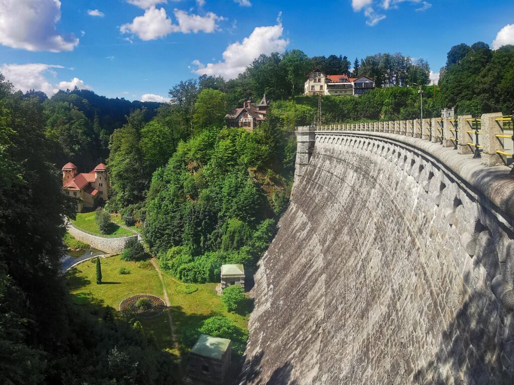
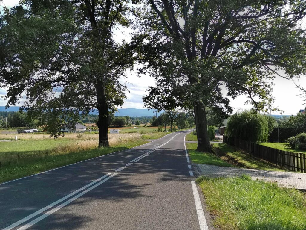
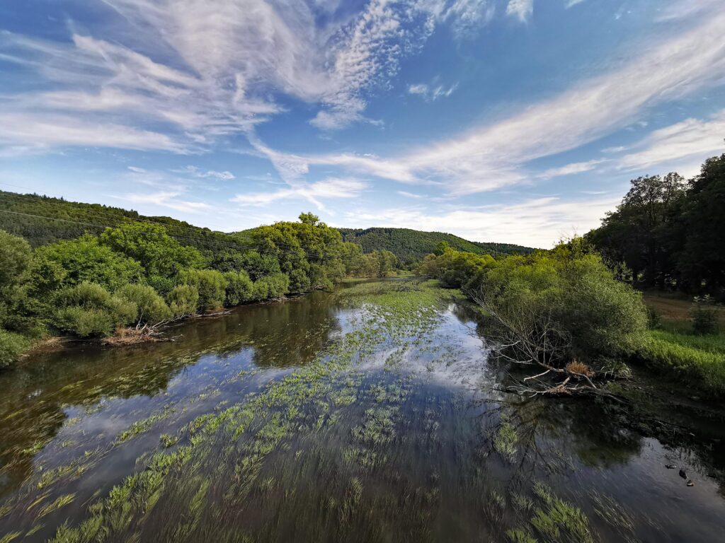
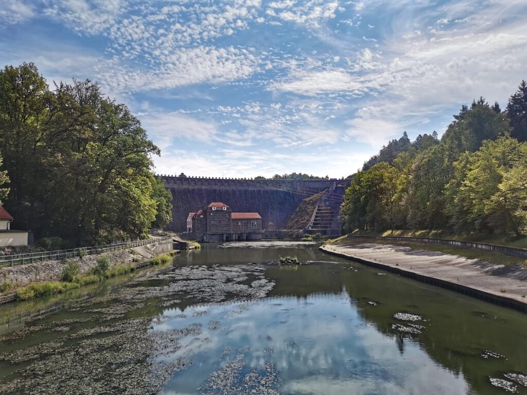
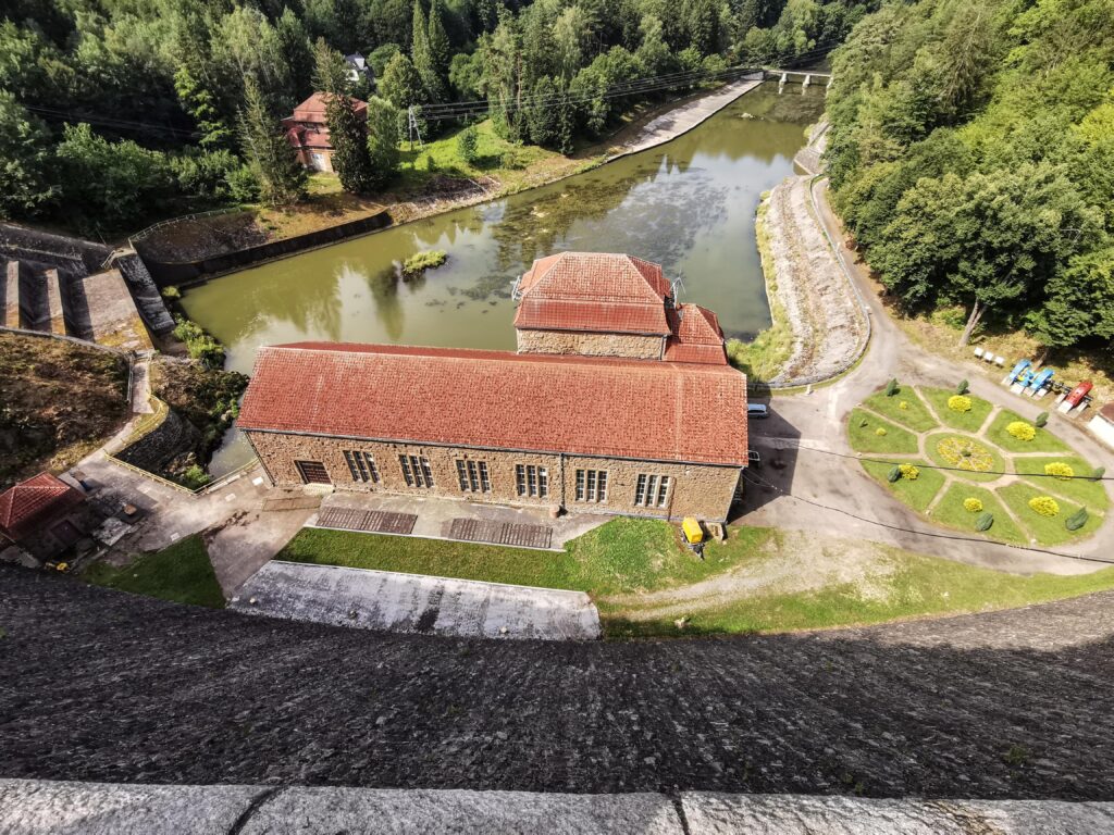
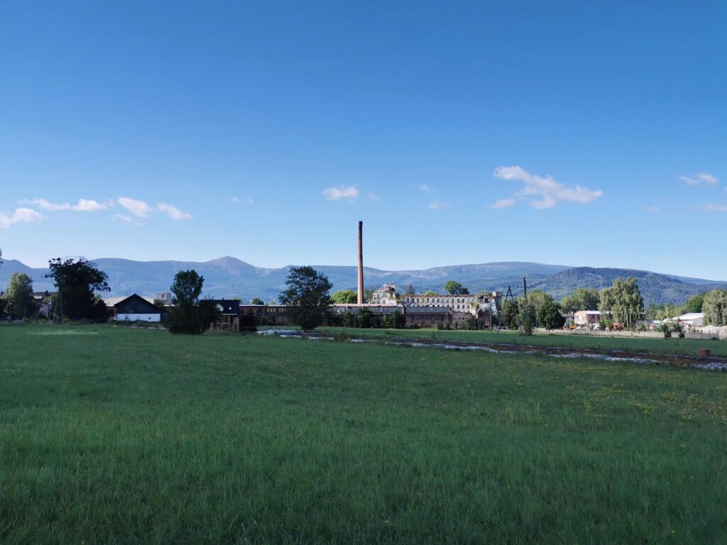
On this section, the quality of the road surface is very good, we drive through the next villages (Wojciechów and Maciejowiec). It ends with a solid fast descent to the bridge on the Bóbr. Now a short ascent to the top of the Pilchowicka Dam. On the way you can turn onto the bridge, from the side of the lower water and admire the hydroelectric power plant against the background of the mass of the dam). This facility is located halfway along the trail. However, this is not the half of the difficulty.
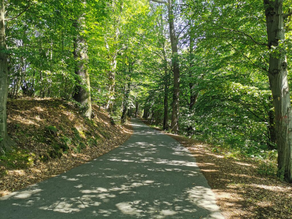
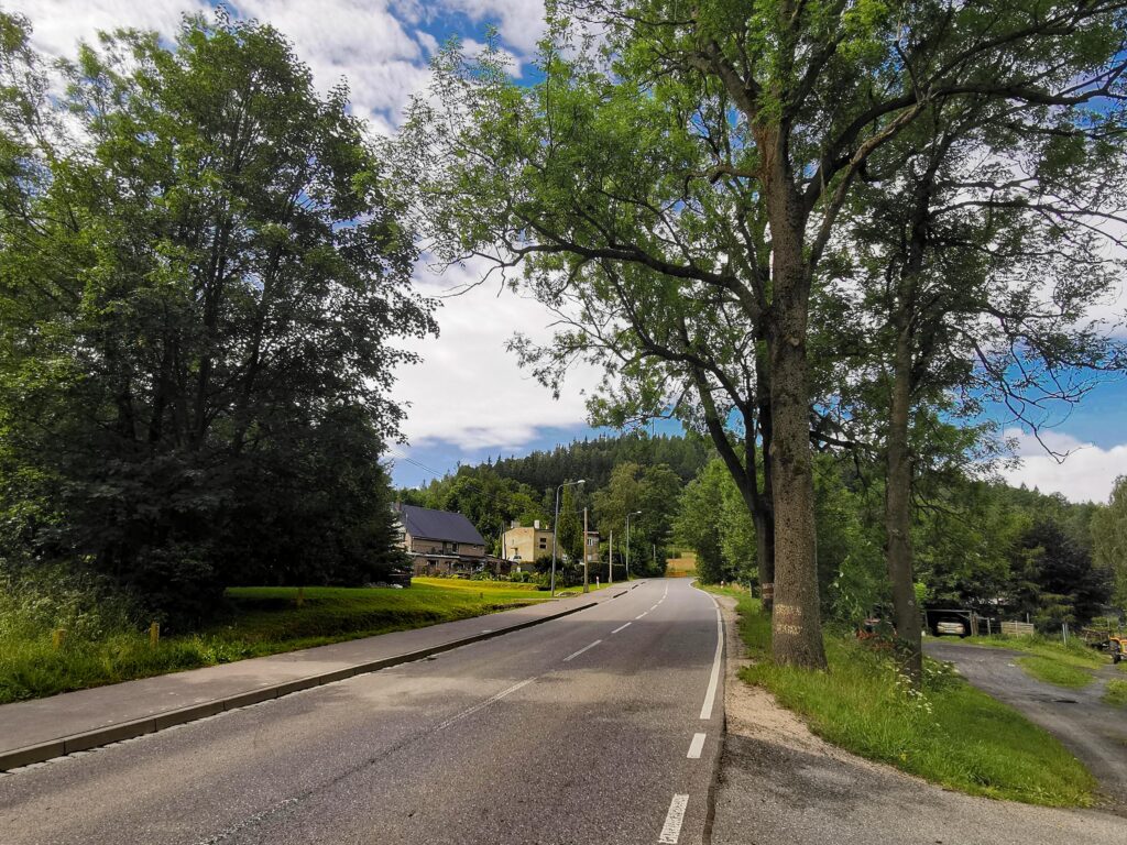
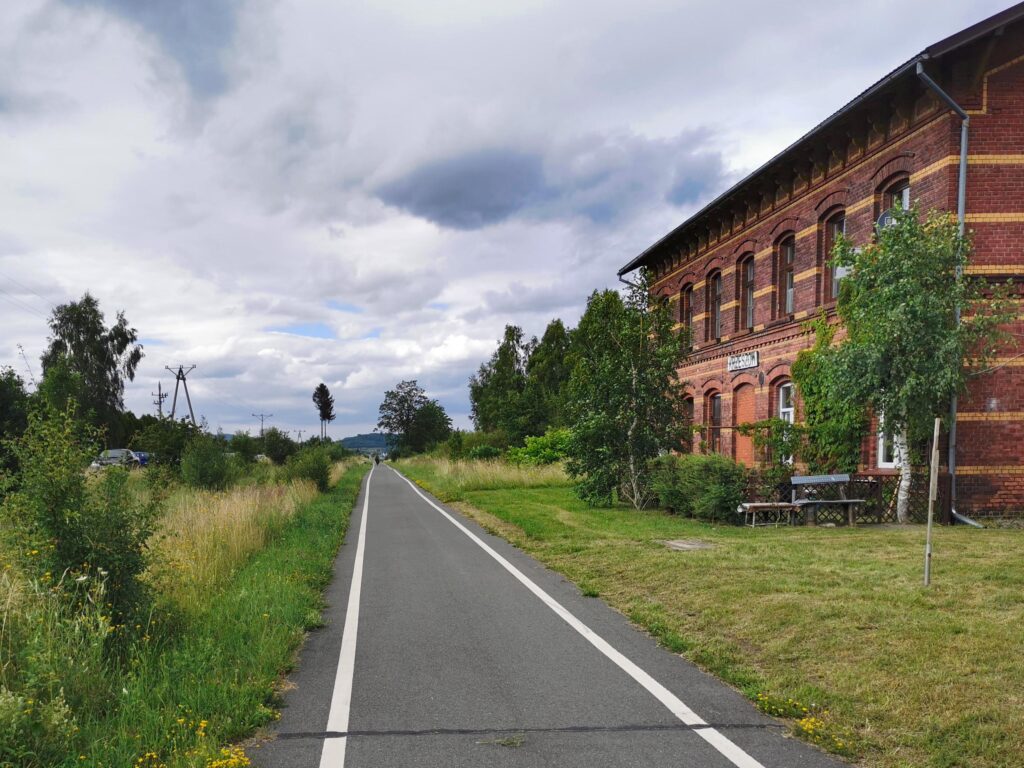
part 6 Pilchowicka Dam – JG Church of Grace (88.5 – 103.0 km)
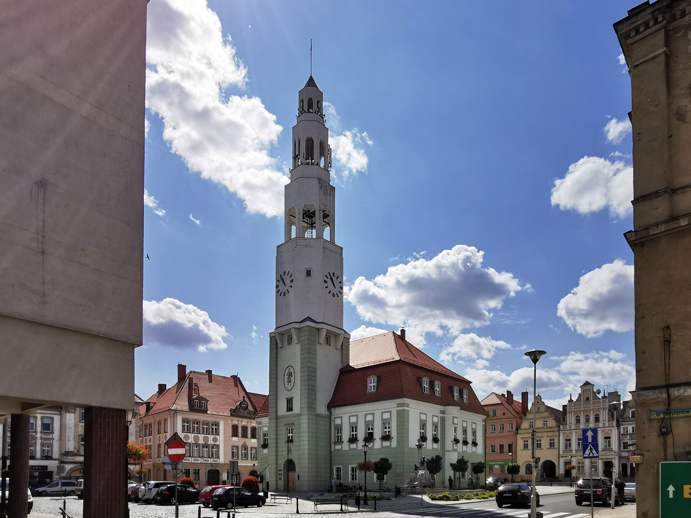
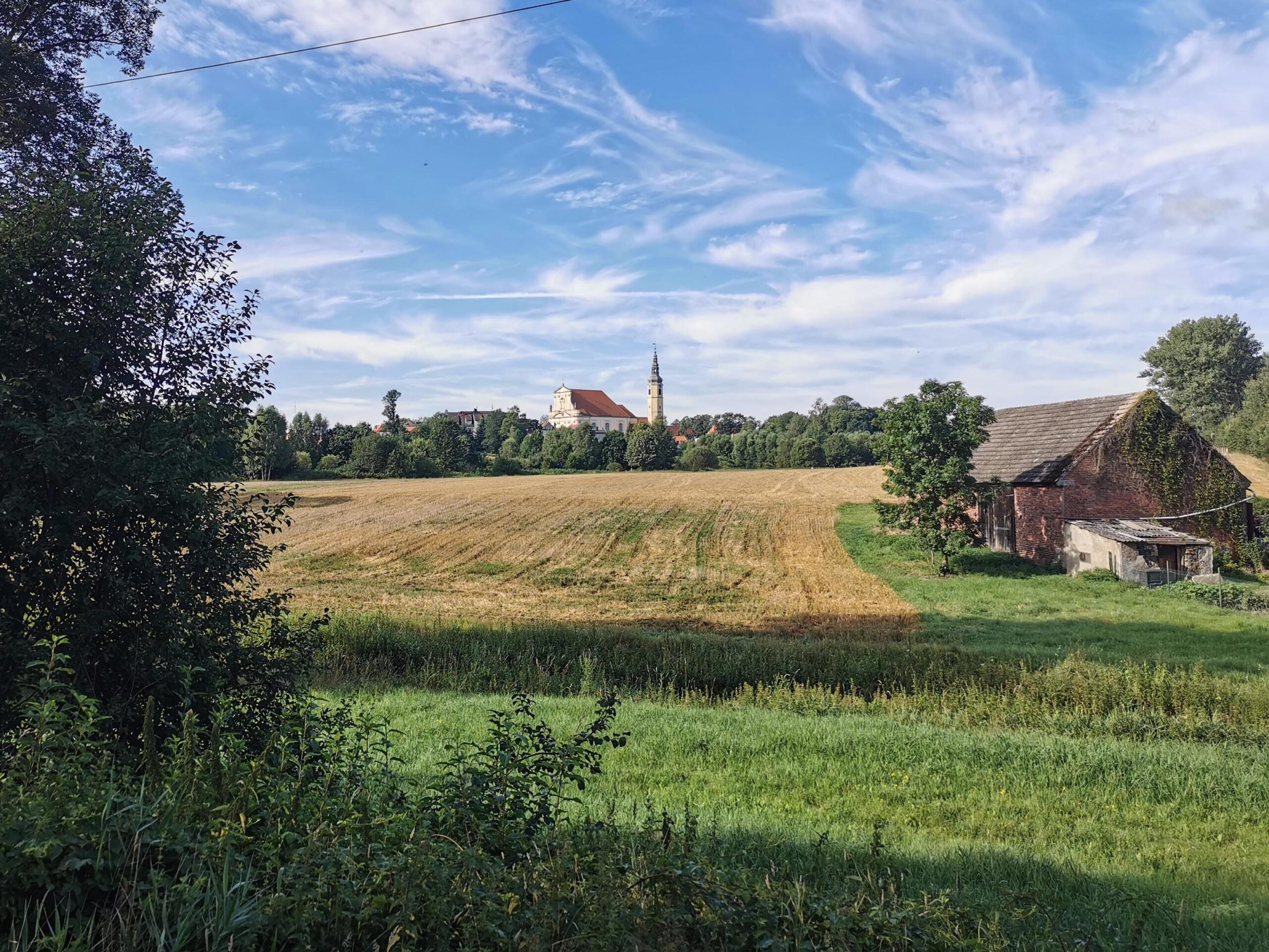
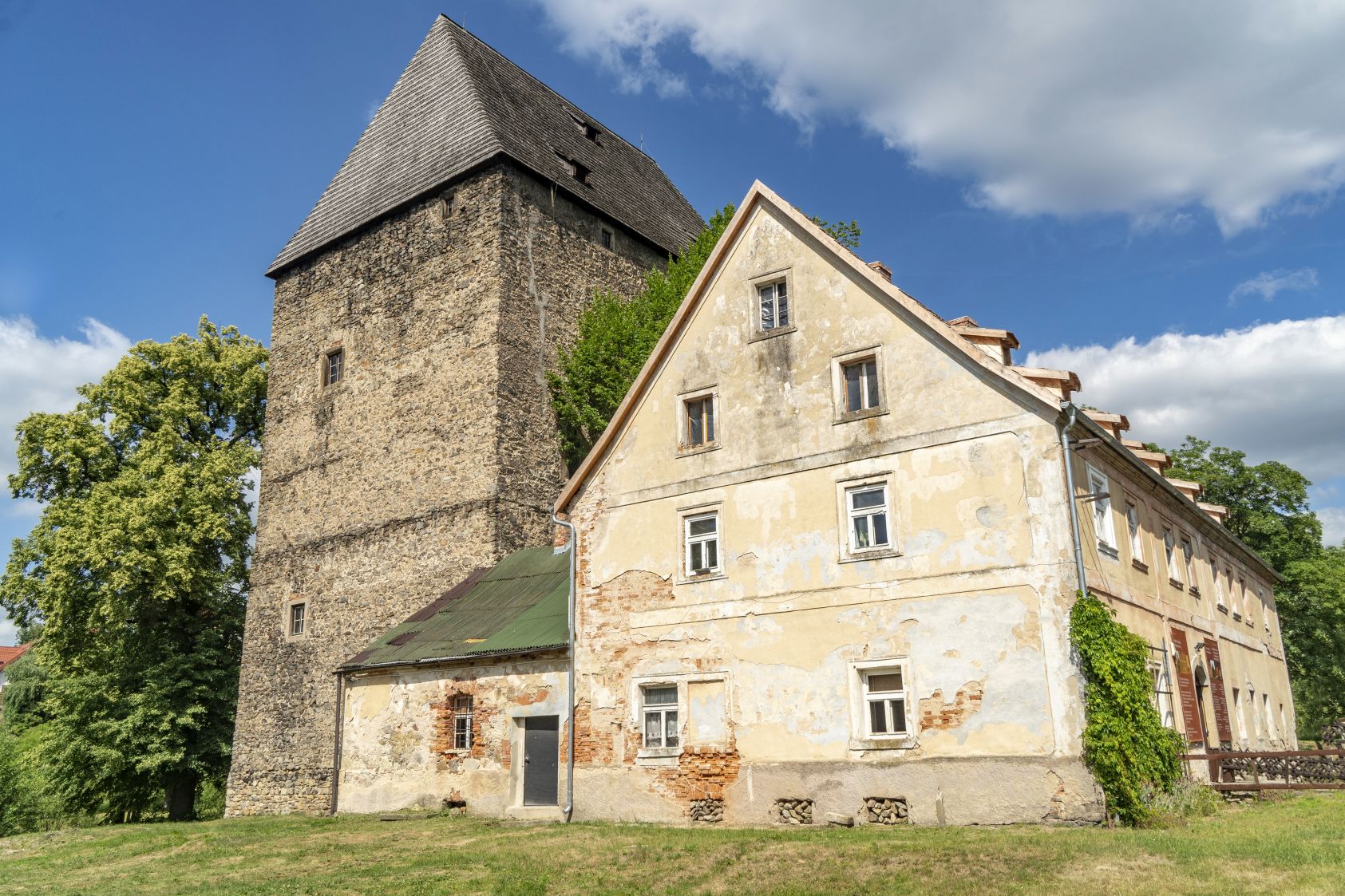
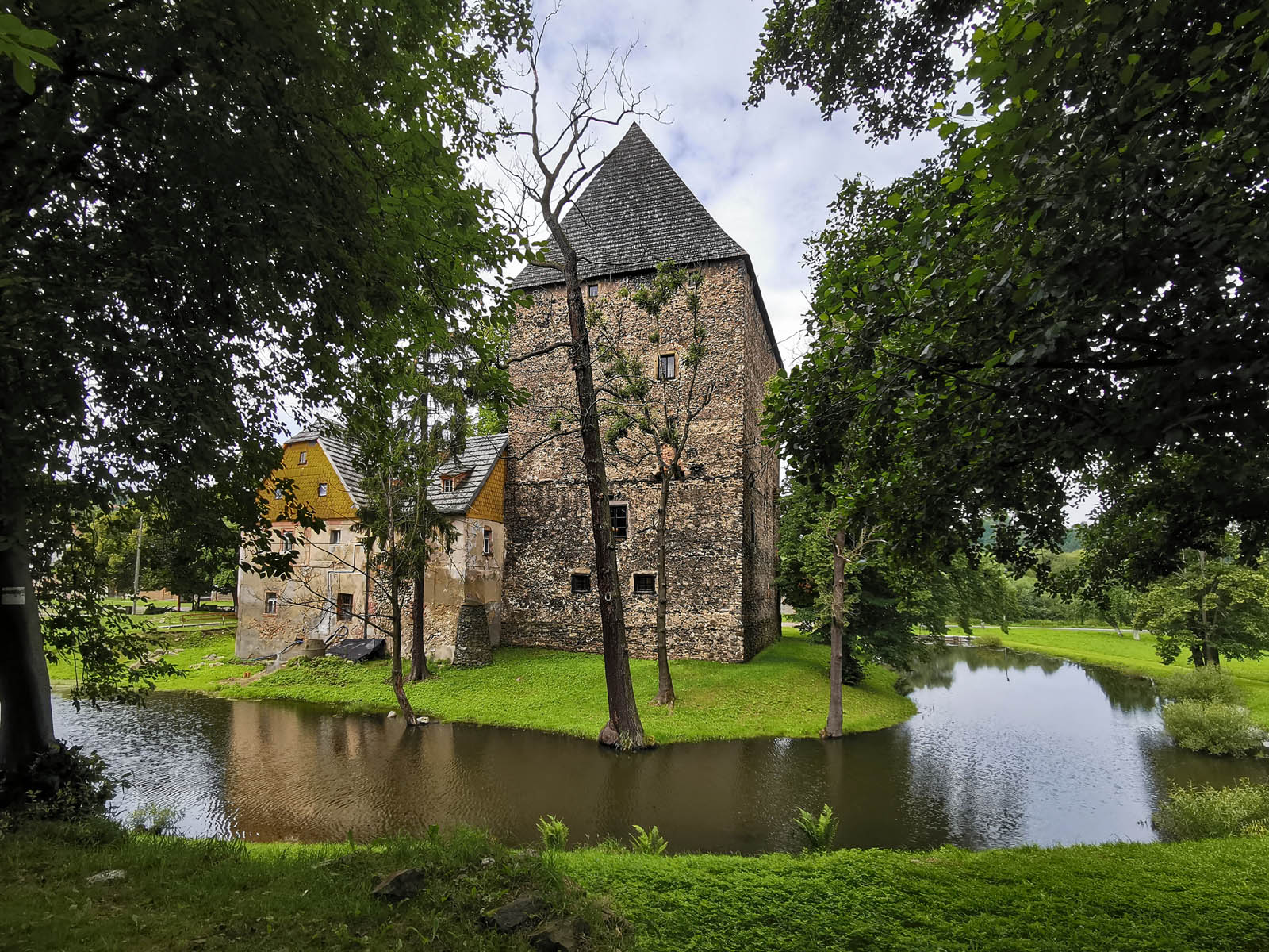
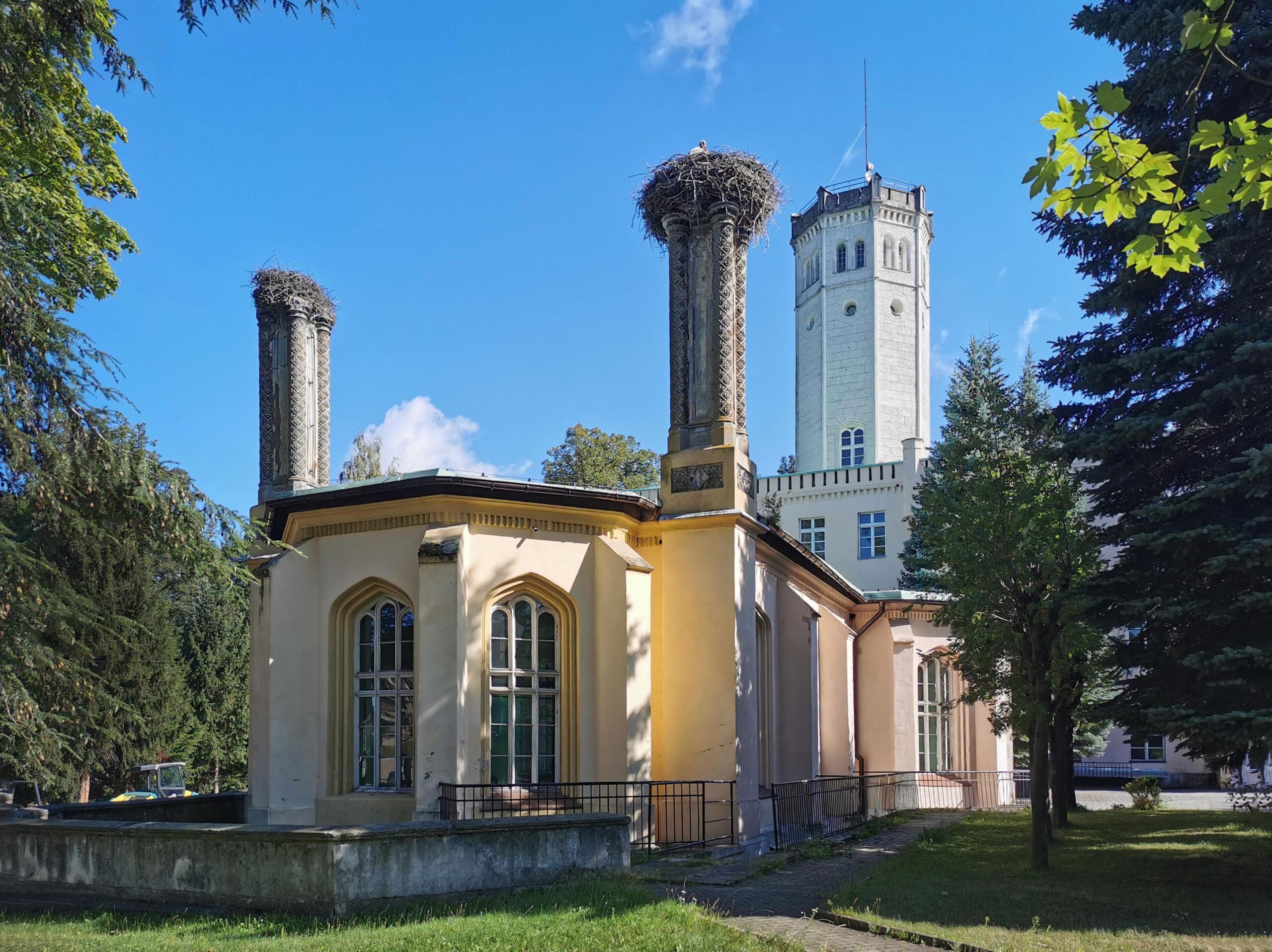
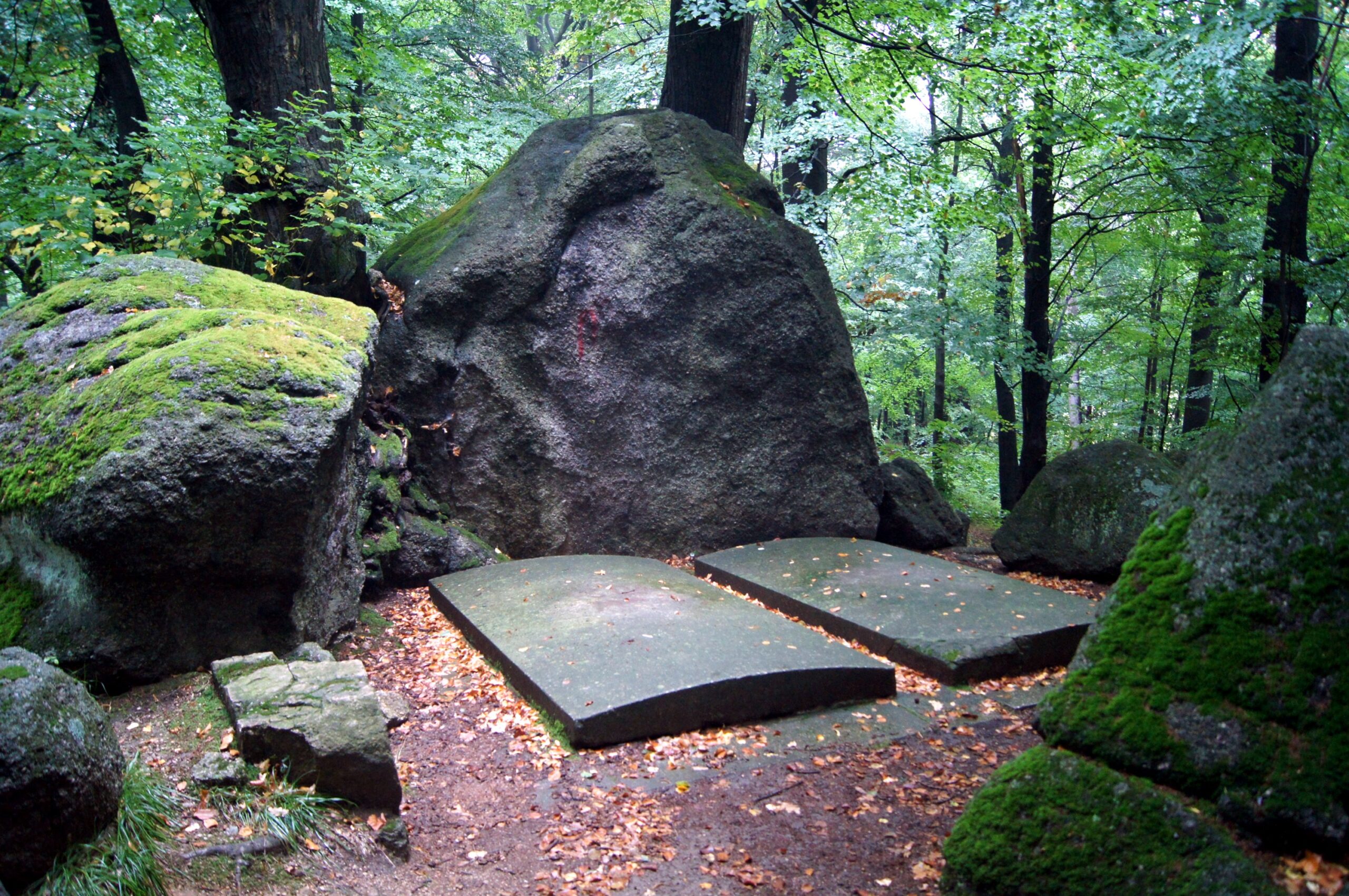
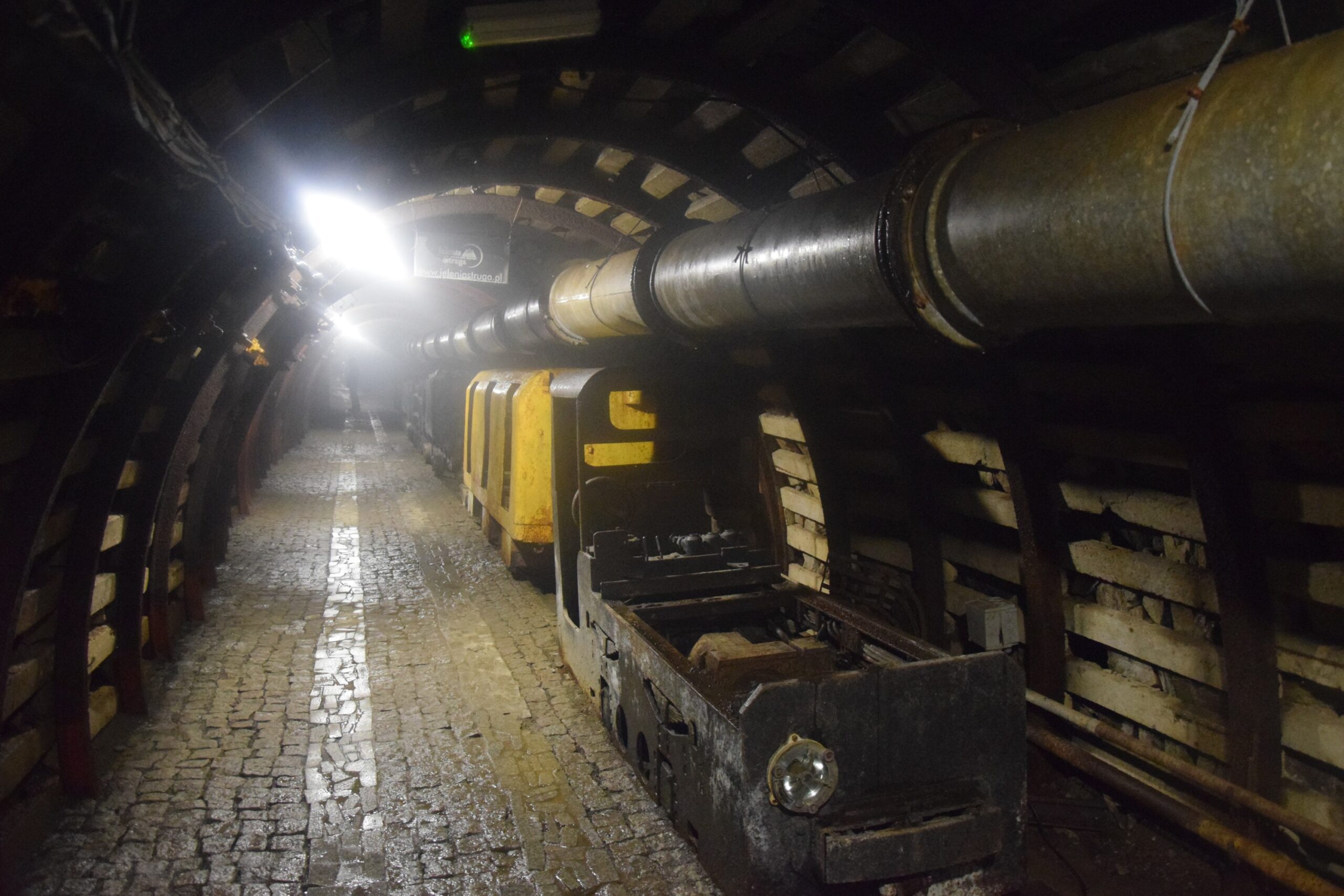
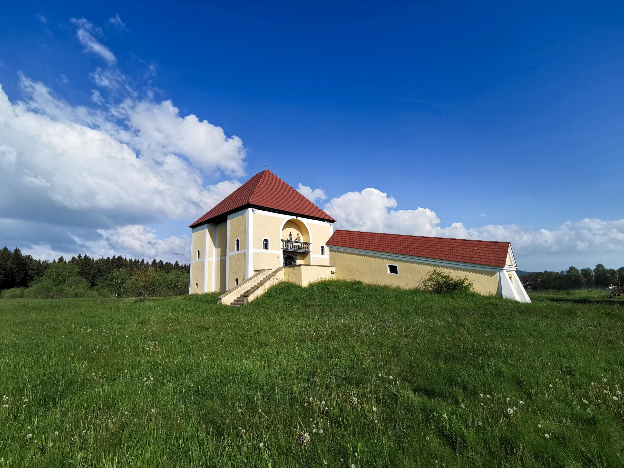
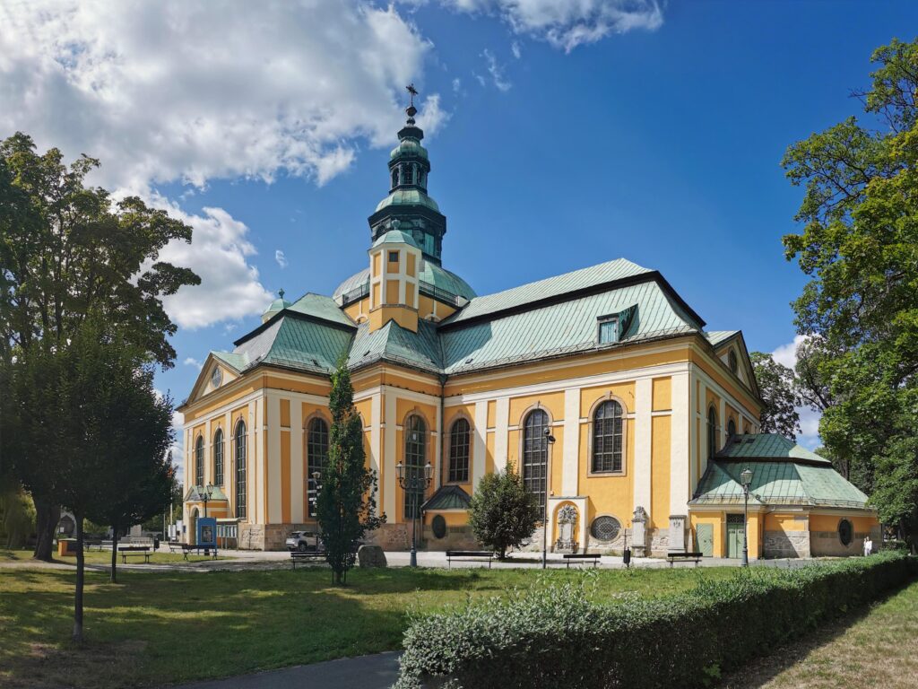
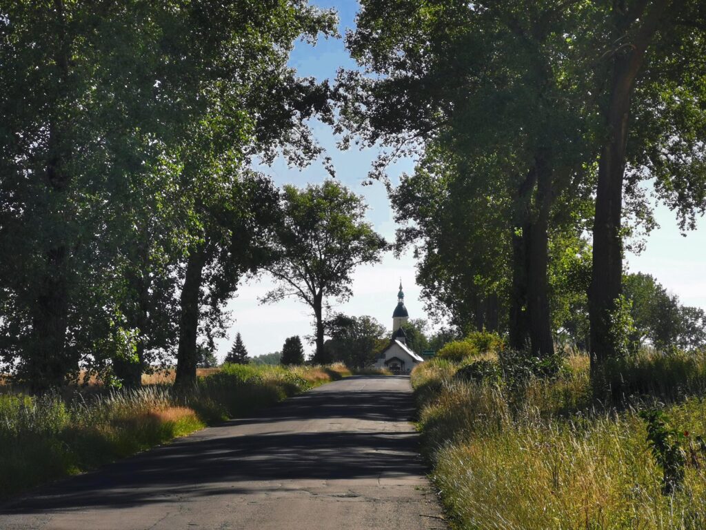
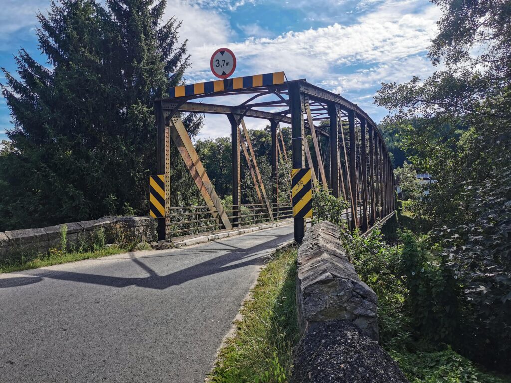
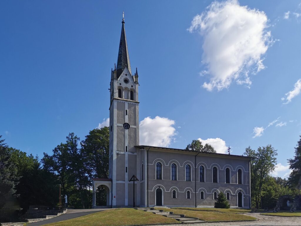
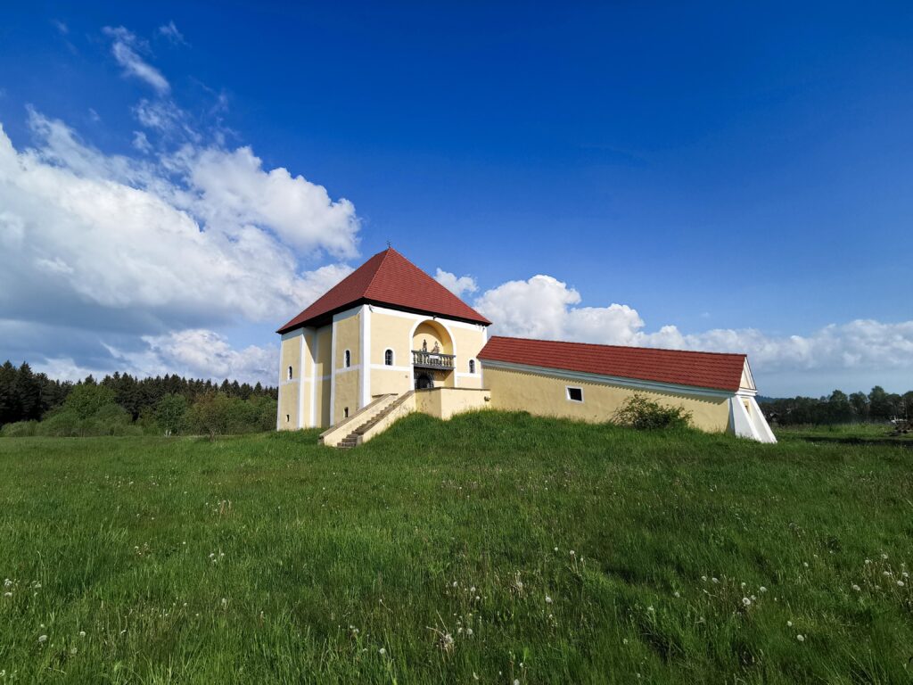
A very interesting and very variable section. We start with a wake-up call on a paving stone. Fortunately, it is only a few hundred meters. A bit further we pass the most famous unblown bridge in Poland. After it, the knights’ tower in Siedlęcin and, a bit further, the Pearl of the West. There begins a pedestrian and bicycle path. Its standard is lower than the name would suggest. There is a narrow (there may be problems passing) paving stone on many sections and a deep drainage channel, sometimes taking up half the width. But the views and the route make up for these inconveniences. In Jelenia Góra itself, we move along the Młynówka Canal, which leads us to the first of the main attractions of the Sacred Trail. We are of course talking about the Church of Grace.
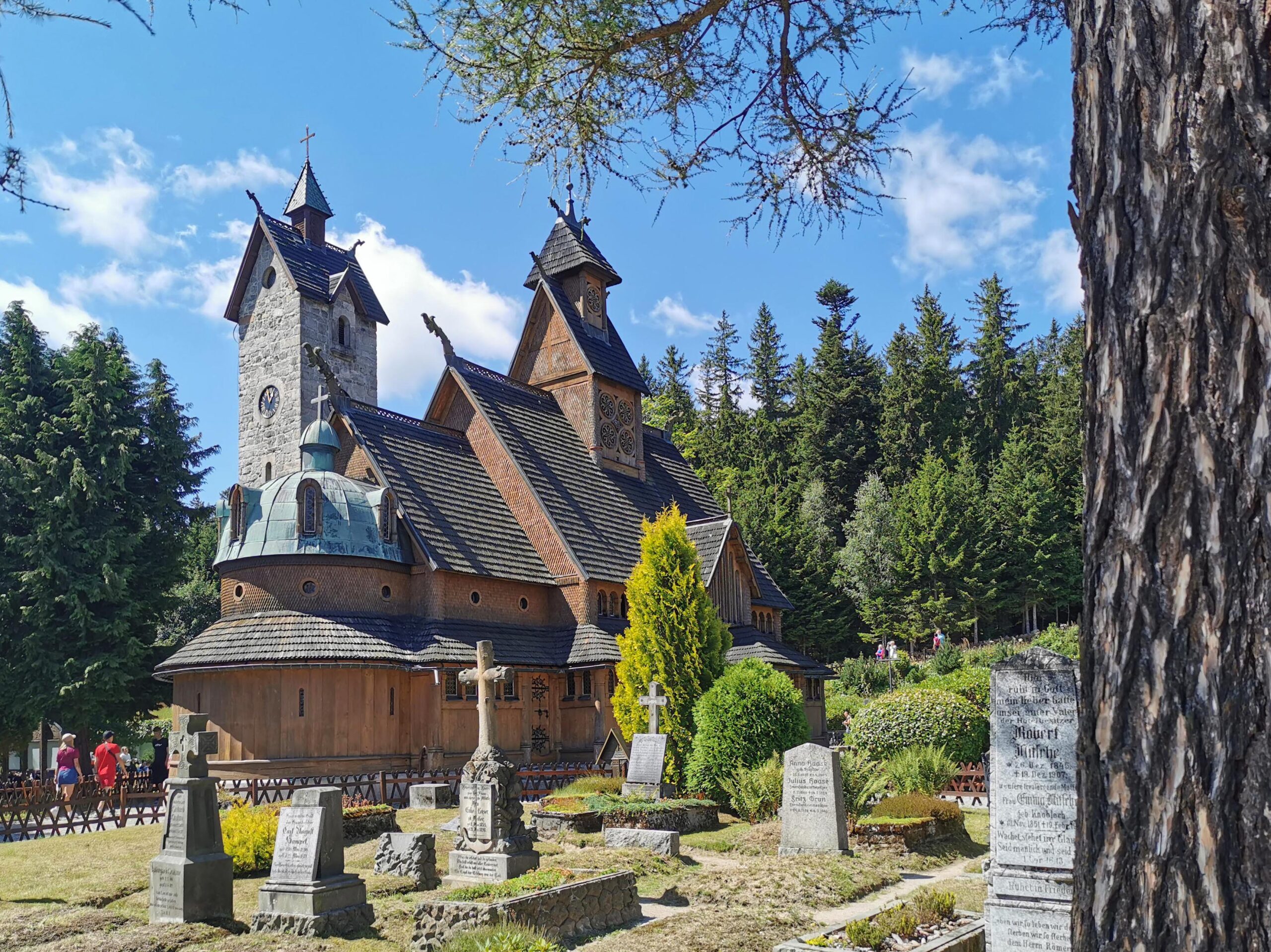
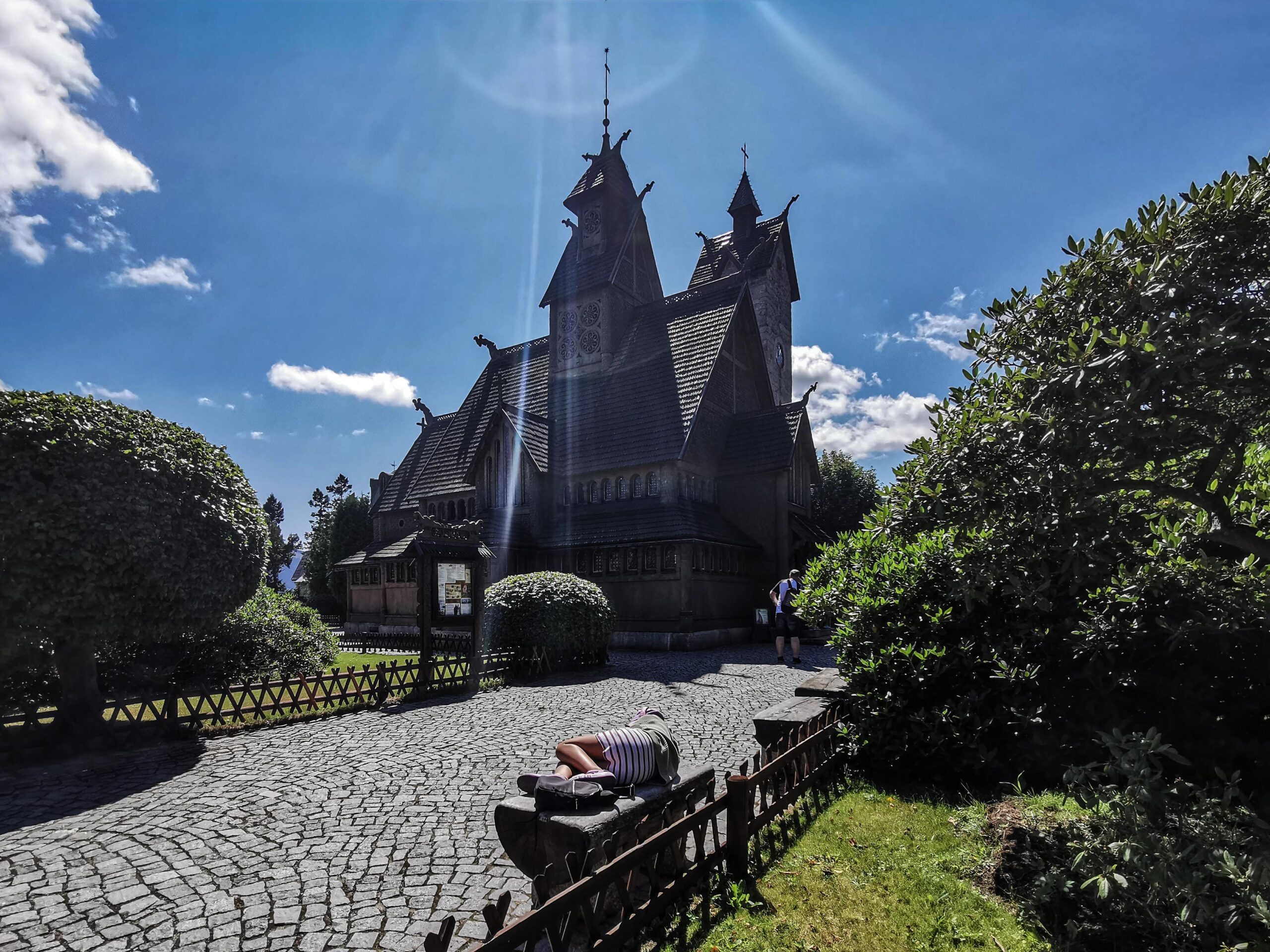
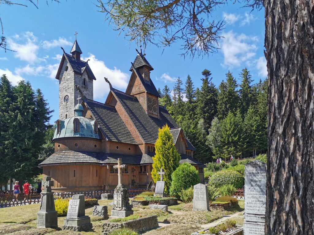
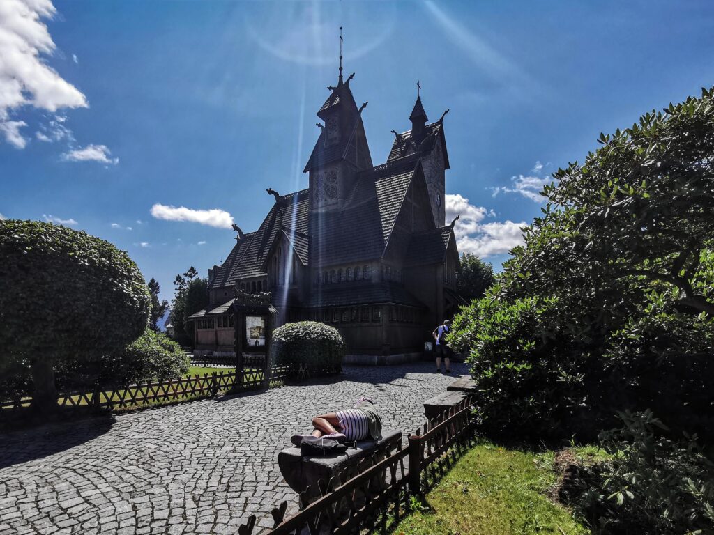
Part 7 JG Church of Grace – Karpacz Wang (103.0 – 128.0 km)
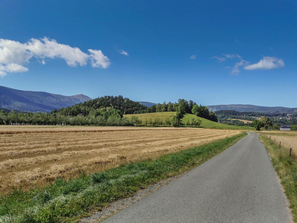
A wonderful section connecting the main attractions of the trail. Despite the strong urbanization of the foothills of the Karkonosze Mountains, we managed to designate a very scenic and, for the most part, extremely intimate route. There is over 500 m of altitude difference to overcome (331 – 877 m above sea level). Despite this, the ascent is more demanding only at the end. The last 2-3 km have gradients of up to 10%.
Part 8 Karpacz Wang – Przełęcz Kowarska (128.0 – 146.0 km)
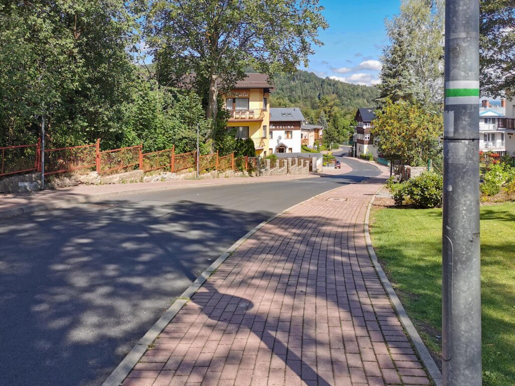
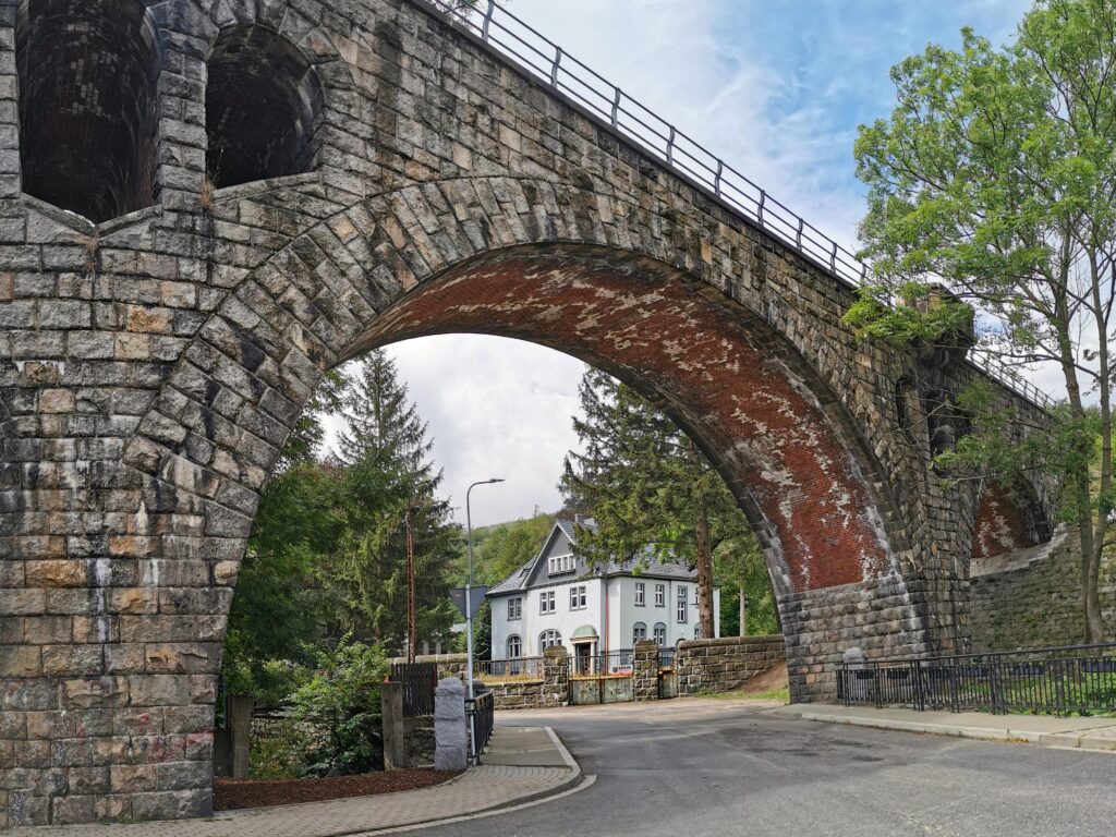
We start with a longer descent on the uphill road. Then a fairly busy 366, from which we descend to Kowary. The route runs along the most beautiful promenade in the city. The next attraction is a beautiful, arched stone railway viaduct. From this point on, an increasingly demanding climb begins, at the end, before leaving for Przełęcz Kowarska, it reaches about 12%.
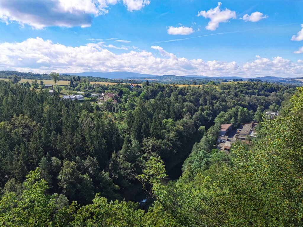
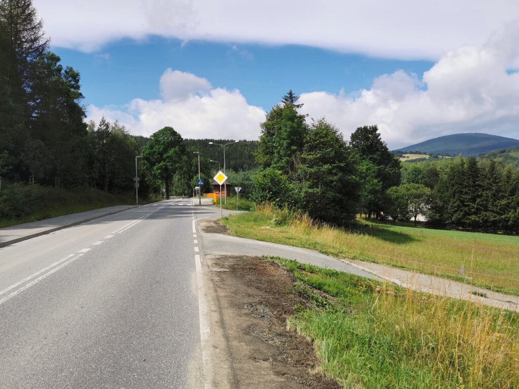
part 9 Kowarska Pass – Chełmsko Śl. (146.0 – 176.0 km)
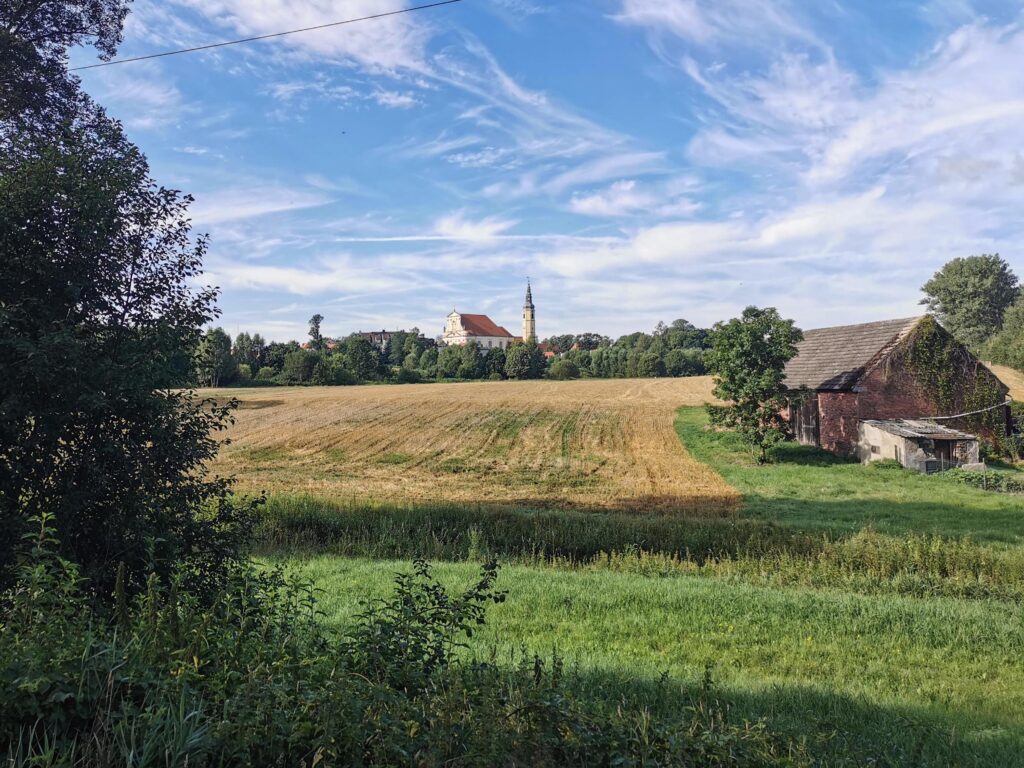
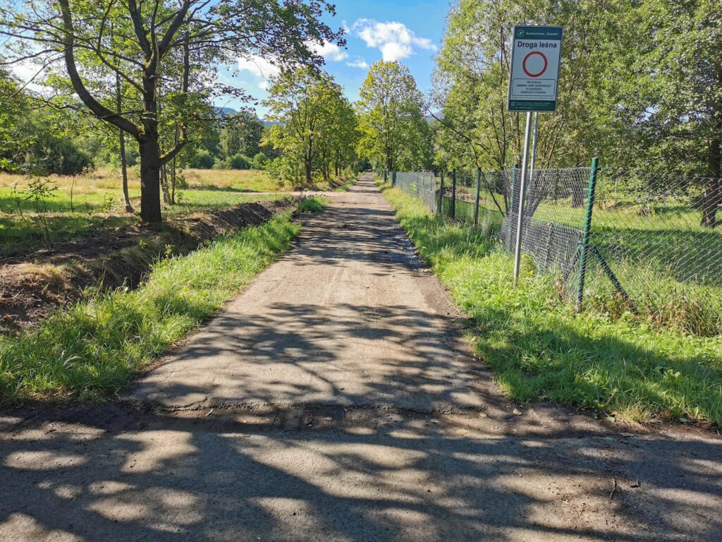
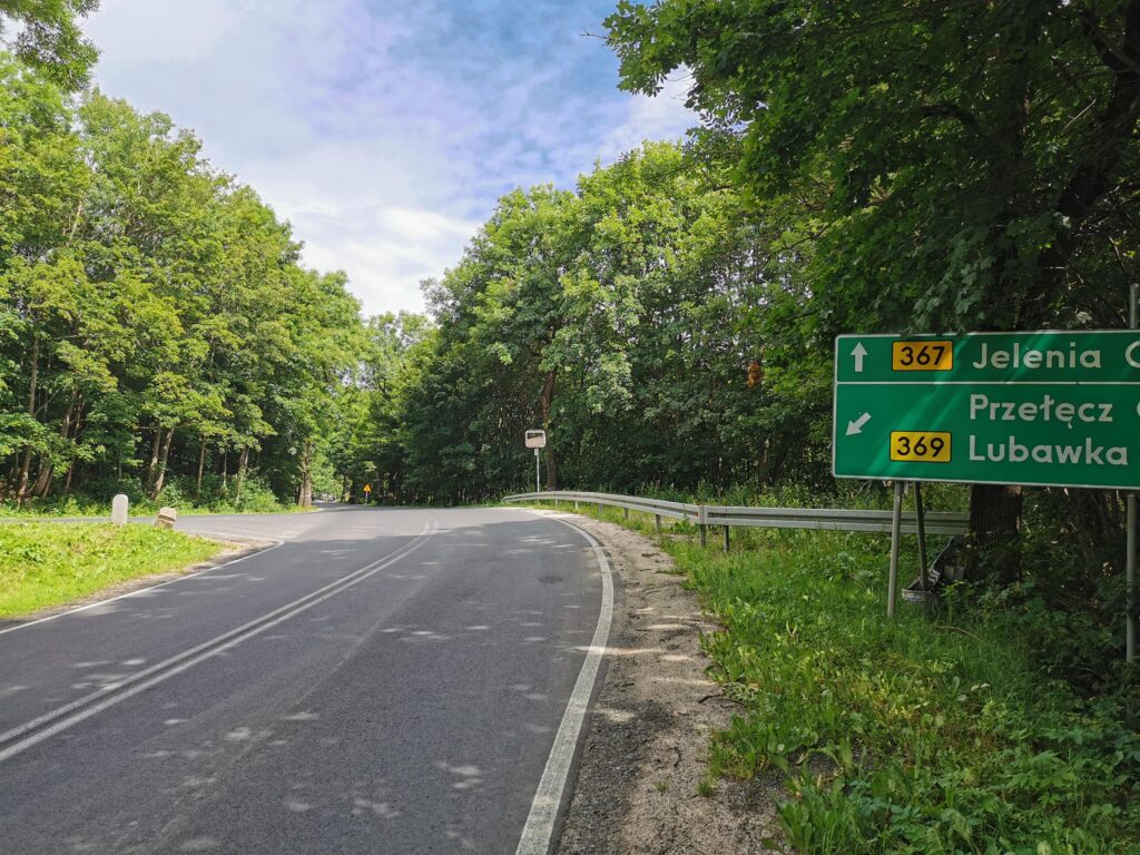
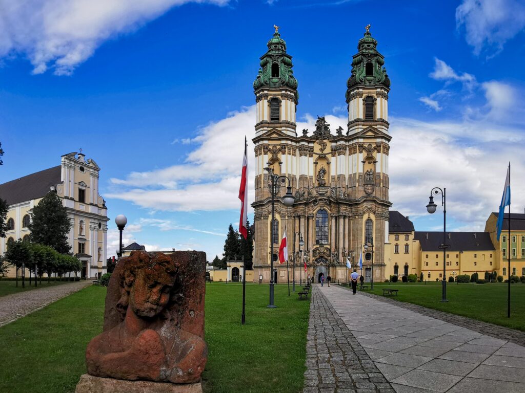
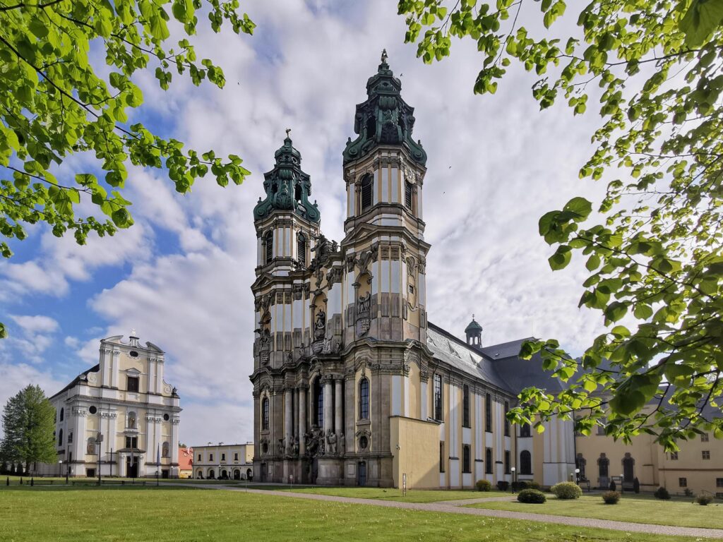
From Kowarska Pass, a 15 km descent to Kamienna Góra awaits us. In order to break up the monotony of driving along the DW367 route, in three places we directed ourselves to local, parallel, good-class, intimate roads. In Kamienna Góra, we “change” to a beautiful DDR built on a former railway line. After 7 kilometers, we land at the gates of the Abbey in Krzeszów. You can spend even half a day here – depending on the attractions you choose. Saturated with impressions, we can continue from this place to Chełmsko Śląskie (where the Czech branch of the trail runs) or return to Kamienna Góra (and home by train).


 0/5
0/5
